Reston in Fairfax County, Virginia — The American South (Mid-Atlantic)
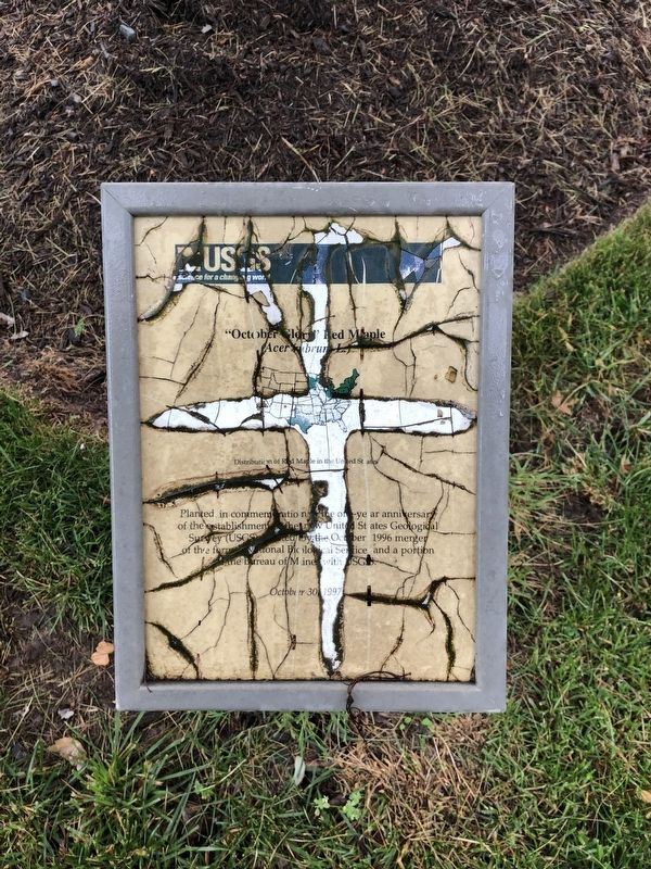
"October Glory" Red Maple
(Acer rubrum L.)
Erected 1997 by United States Geological Survey, U.S. Department of the Interior.
Topics. This historical marker is listed in these topic lists: Government & Politics • Science & Medicine. A significant historical month for this entry is October 1996.
Location. 38° 56.859′ N, 77° 22.154′ W. Marker is in Reston, Virginia, in Fairfax County. Marker can be reached from U.S. Geological Survey Drive south of Sunrise Valley Drive, on the left when traveling south. Touch for map. Marker is at or near this postal address: 12201 Sunrise Valley Drive, Reston VA 20191, United States of America. Touch for directions.
Other nearby markers. At least 8 other markers are within 2 miles of this marker, measured as the crow flies. Randolph Wilson Bromery (1926-2013), Ph.D. (within shouting distance of this marker); Julia Anna Gardner (1882-1960), Ph.D. (within shouting distance of this marker); John Wesley Powell (1834-1902) (within shouting distance of this marker); Veteran's Memorial (about 300 feet away, measured in a direct line); The Robert E. Simon, Jr. Plaza (approx. 0.9 miles away); Sunset Hills Station (approx. 1.1 miles away); Train Wrecks (approx. 1.1 miles away); Herndon: A Summer Resort (approx. 1˝ miles away). Touch for a list and map of all markers in Reston.
Credits. This page was last revised on July 7, 2021. It was originally submitted on June 10, 2019. This page has been viewed 140 times since then and 9 times this year. Photo 1. submitted on June 10, 2019.
