Mackinaw City in Cheboygan County, Michigan — The American Midwest (Great Lakes)
Winter at Mackinac
Mackinaw City Historical Pathway
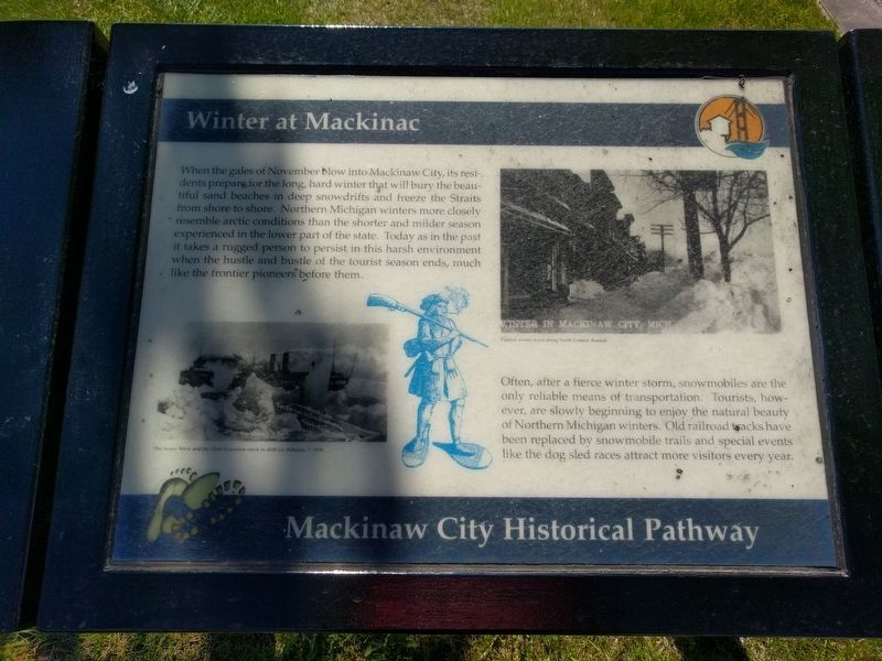
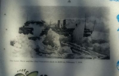
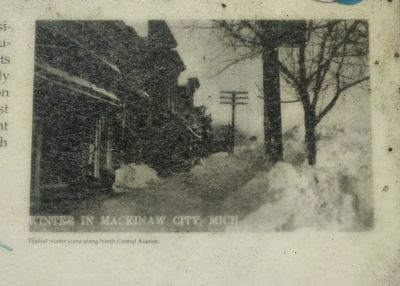
When the gales of November blow into Mackinaw City, its residents prepare for the long, hard winter that will bury the beautiful sand beaches in deep snowdrifts and freeze the Straits from shore to shore. Northern Michigan winters more closely resemble arctic conditions than the shorter and milder season experienced in the lower part of the state. Today as in the past it takes a rugged person to persist in this harsh environment when the hustle and bustle of the tourist season ends, much like the frontier pioneers before them.
Often, after a fierce winter storm, snowmobiles are the only reliable means of transportation. Tourists, however, are slowly beginning to enjoy the natural beauty of Northern Michigan winters. Old railroad tracks have been replaced by snowmobile trails and special events like the dog sled races attract more visitors every year. (Marker Number 43.)
Topics. This historical marker is listed in this topic list: Environment.
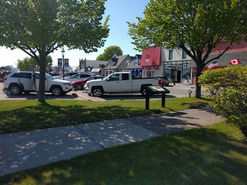
Location. 45° 46.892′ N, 84° 43.671′ W. Marker is in Mackinaw City, Michigan, in Cheboygan County. Marker is at the intersection of East Central Avenue and Henry Street, on the left when traveling west on East Central Avenue. Touch for map. Marker is in this post office area: Mackinaw City MI 49701, United States of America. Touch for directions.
Other nearby markers. At least 8 other markers are within walking distance of this marker. Historic Mackinaw City (a few steps from this marker); The Barnett Building (within shouting distance of this marker); Tourism at Mackinac (about 500 feet away, measured in a direct line); a different marker also named Historic Mackinaw City (about 600 feet away); Mackinaw, Mackinac or Michilimackinac? (about 600 feet away); American Legion Memorial (about 600 feet away); The Algomah (about 700 feet away); The Dixie Highway (about 700 feet away). Touch for a list and map of all markers in Mackinaw City.
Credits. This page was last revised on June 12, 2019. It was originally submitted on June 12, 2019, by Joel Seewald of Madison Heights, Michigan. This page has been viewed 129 times since then and 6 times this year. Photos: 1, 2, 3, 4. submitted on June 12, 2019, by Joel Seewald of Madison Heights, Michigan.


