Charlotte Hall in St. Mary's County, Maryland — The American Northeast (Mid-Atlantic)
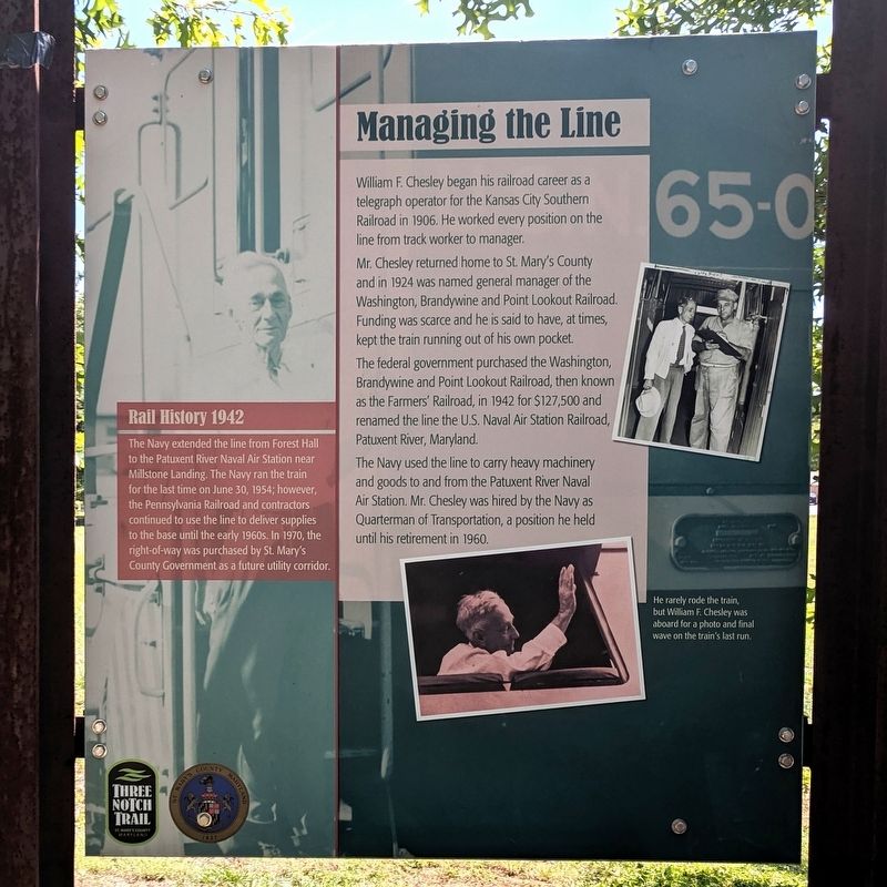
Managing The Line
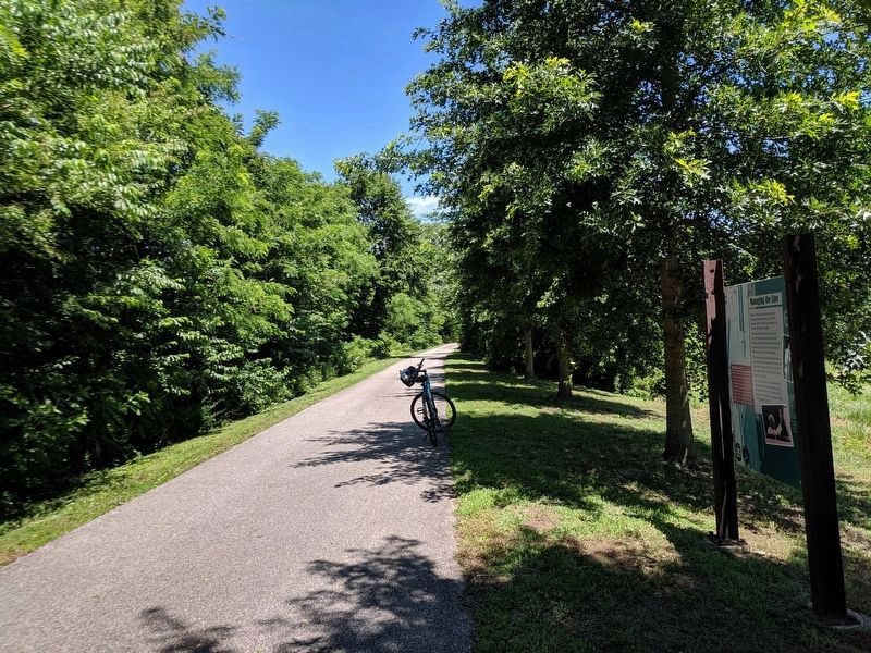
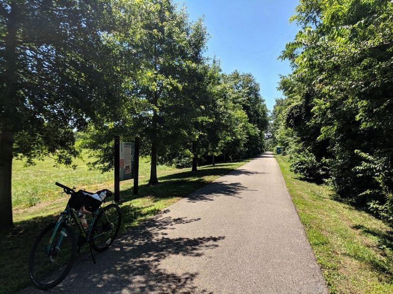
Three Notch Trail
Mr. Chesley returned home to St. Mary's County and in 1924 was named general manager of the Washington, Brandywine and Point Lookout Railroad. Funding was scarce and he is said to have, at times, kept the train running out of his own pocket.
The federal government purchased the Washington, Brandywine and Point Lookout Railroad, then known as the Farmers' Railroad, in 1942 for $127,500 and renamed the line the U.S. Naval Air Station Railroad, Patuxent River, Maryland.
The Navy used the line to carry heavy machinery and goods to and from the Patuxent River Naval Air Station. Mr. Chesley was hired by the Navy as Quarterman of Transportation, a position he held until his retirement in 1960.
(caption)
He rarely rode the train, but William F. Chesley was aboard for a photo and final wave on the train's last run.
Rail History 1942
The Navy extended the line from Forest Hall to the Patuxent River Naval Air Station near Millstone Landing. The Navy ran the train for the last time on June 30, 1954; however, the Pennsylvania Railroad and contractors continued to use the line to deliver supplies to the base until the early 1960s. In 1970, the right-of-way was purchased by St. Mary's County Government as a future utility corridor.
Erected by Three Notch Trail.
Topics. This historical marker is listed in this topic list: Railroads & Streetcars. A significant historical date for this entry is June 30, 1954.
Location. 38° 29.41′ N, 76° 46.847′ W. Marker is in Charlotte Hall, Maryland, in St. Mary's County. Marker can be reached from Charlotte Hall Road south of Oaks Road, on the right when traveling south. Located on the Three Notch Trail. Touch for map. Marker is at or near this postal address: 29655 Charlotte Hall Rd, Charlotte Hall MD 20622, United States of America. Touch for directions.
Other nearby markers. At least 8 other markers are within walking distance of this marker. Village of Charlotte Hall (approx. 0.7 miles away); Charlotte Hall School (approx. 0.8 miles away); a different marker also named Charlotte Hall School (approx. 0.8 miles away); No Match for British Might (approx. 0.9 miles away); Cadet Pierre A. Mourthé (approx. 0.9 miles away); Coole Springs of Saint Marie’s (approx. 0.9 miles away); Maryland Begins Here (approx. 0.9 miles away); Ye Coole Springs (approx. 0.9 miles away). Touch for a list and map of all markers in Charlotte Hall.
Credits. This page was last revised on June 16, 2019. It was originally submitted on June 16, 2019, by Bernard Fisher of Richmond, Virginia. This page has been viewed 300 times since then and 43 times this year. Photos: 1, 2, 3. submitted on June 16, 2019, by Bernard Fisher of Richmond, Virginia.


