Mechanicsville in St. Mary's County, Maryland — The American Northeast (Mid-Atlantic)
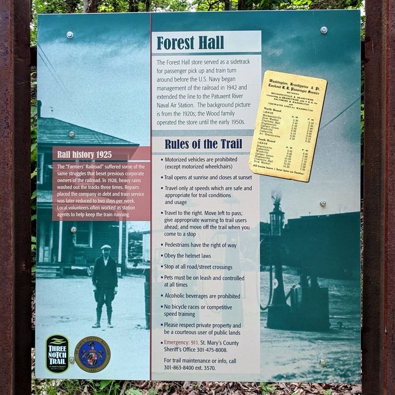
Forest Hall
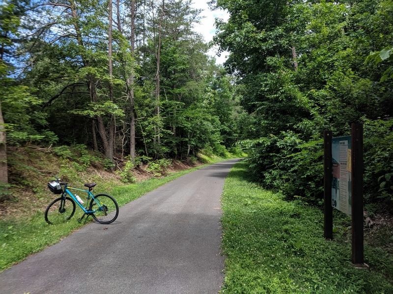
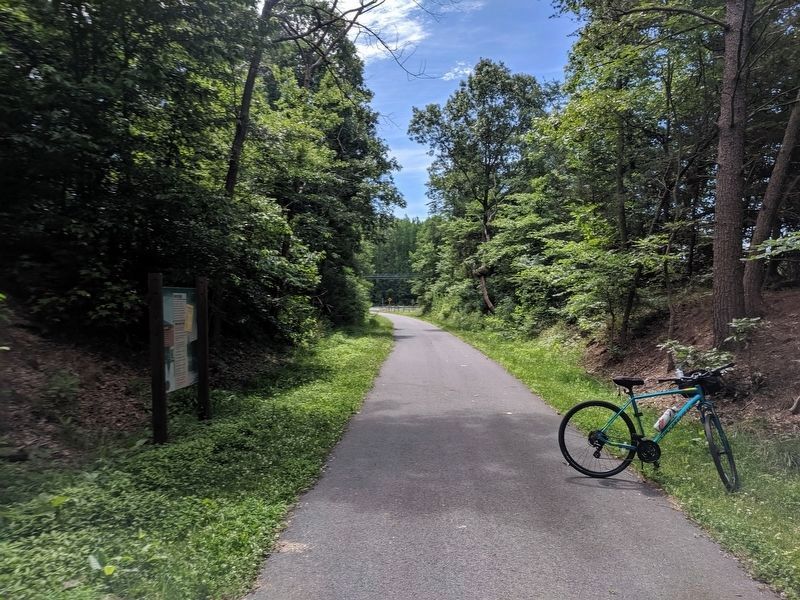
Three Notch Trail
Rail history 1925
The "Farmers' Railroad" suffered some of the same struggles that beset previous corporate owners of the railroad. In 1928, heavy rains washed out the tracks three times. Repairs placed the company in debt and train service was later reduced to two days per week. Local volunteers often worked as station agents to help keep the train running.
Rules the Trail
• Motorized vehicles are prohibited (except motorized wheelchairs)
• Trail opens at sunrise and closes at sunset
• Travel only at speeds which are safe and appropriate for trail conditions and usage
• Travel to the right. Move left to pass; give appropriate warning to trail users ahead; and move off the trail when you come to a stop
• Pedestrians have the right of way
• Obey the helmet laws
• Stop at all road/street crossings
• Pets must be on leash and controlled at all times
• Alcoholic beverages are prohibited
• No bicycle races or competitive speed training
• Please respect private property and be a courteous user of public lands
• Emergency: 911. St. Mary'S County Sheriff's Office 301-475-8008.
For trail maintenance or info, call 301-863-8400 ext. 3570.
Erected by Three Notch Trail.
Topics. This historical marker is listed in these topic lists: Agriculture • Railroads & Streetcars.
Location. 38° 25.201′ N, 76° 43.284′ W. Marker is in Mechanicsville, Maryland, in St. Mary's County. Marker can be reached from Baptist Church Road, half a mile south of Old Village Road (Old Maryland Route 5), on the left when traveling south. Located on the Three Notch Trail. Touch for map. Marker is in this post office area: Mechanicsville MD 20659, United States of America. Touch for directions.
Other nearby markers. At least 8 other markers are within 3 miles of this marker, measured as the crow flies. Tobacco Barns (approx. 0.8 miles away); Extending the Rail (approx. one mile away); Three Notch Road (approx. 1˝ miles away); Village of Mechanicsville (approx. 1.8 miles away); De La Brooke Manor (approx. 2.3 miles away); Veterans of Helen Memorial (approx. 2.4 miles away); a different marker also named "Three Notch Road" (approx. 2˝ miles away); Three Notch Trail (approx. 2.9 miles away). Touch for a list and map of all markers in Mechanicsville.
Credits. This page was last revised on June 16, 2019. It was originally submitted on June 16, 2019, by Bernard Fisher of Richmond, Virginia. This page has been viewed 223 times since then and 27 times this year. Photos: 1, 2, 3. submitted on June 16, 2019, by Bernard Fisher of Richmond, Virginia.


