Saint Helena Island in Beaufort County, South Carolina — The American South (South Atlantic)
A Guiding Light
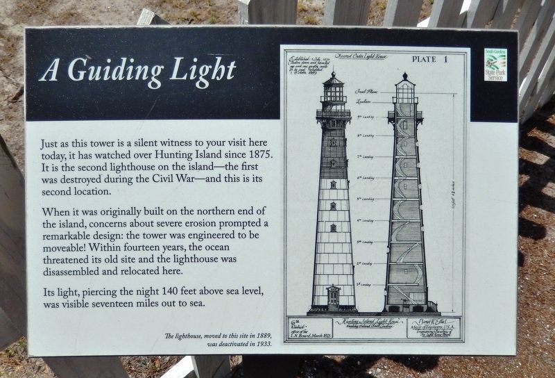
When it was originally built on the northern end of the island, concerns about severe erosion prompted a remarkable design: the tower was engineered to be moveable! Within fourteen years, the ocean threatened its old site and the lighthouse was disassembled and relocated here.
Its light, piercing the night 140 feet above sea level, was visible seventeen miles out to sea.
The lighthouse, moved to this site in 1889, was deactivated in 1933.
Erected by Hunting Island State Park.
Topics and series. This historical marker is listed in this topic list: Notable Buildings. In addition, it is included in the Lighthouses series list. A significant historical year for this entry is 1875.
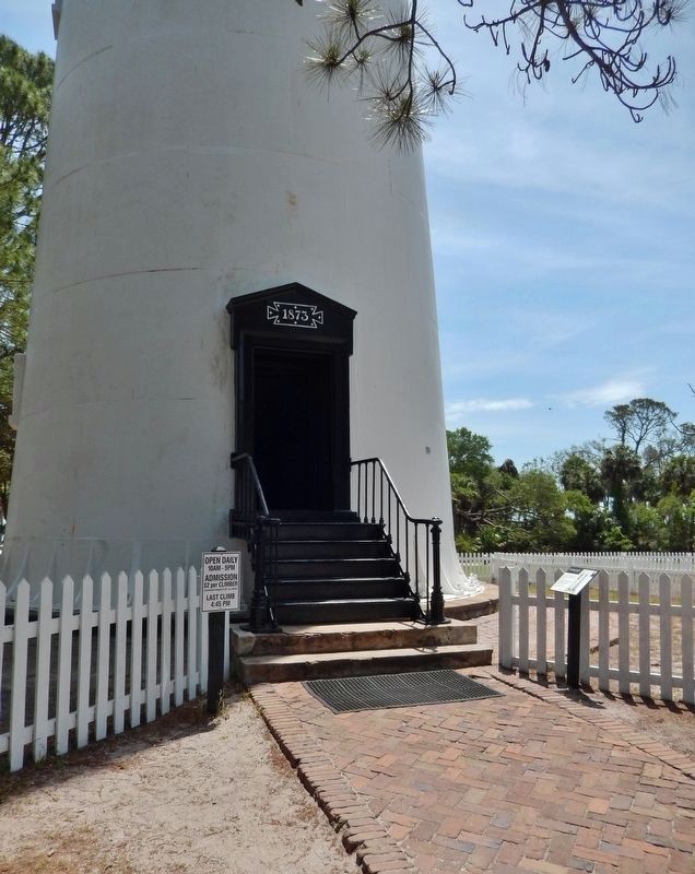
Location. 32° 22.534′ N, 80° 26.255′ W. Marker is on Saint Helena Island, South Carolina, in Beaufort County. Marker can be reached from North Beach Road, 0.6 miles north of Hunting Island Drive. Marker is located on the Hunting Island Light Station grounds in Hunting Island State Park, beside the lighthouse entrance. Touch for map. Marker is at or near this postal address: 2555 Sea Island Parkway, Saint Helena Island SC 29920, United States of America. Touch for directions.
Other nearby markers. At least 8 other markers are within 9 miles of this marker, measured as the crow flies. Fuel for the Flame (here, next to this marker); Island Delivery Service (a few steps from this marker); Harvesting Drinking Water (a few steps from this marker); A Life-Saving Light Station (within shouting distance of this marker); Home at the Lighthouse (within shouting distance of this marker); Hunting Island Light Station (within shouting distance of this marker); Chapel of Ease (approx. 8.1 miles away); Penn School (approx. 8.2 miles away). Touch for a list and map of all markers in Saint Helena Island.
Related markers. Click here for a list of markers that are related to this marker. Hunting Island Lighthouse
Also see . . . Hunting Island Light (Wikipedia). (Submitted on June 18, 2019, by Cosmos Mariner of Cape Canaveral, Florida.)

Photographed By Cosmos Mariner, May 1, 2019
3. Claimed by the Sea
(interpretive panel inside lighthouse)
(interpretive panel inside lighthouse)
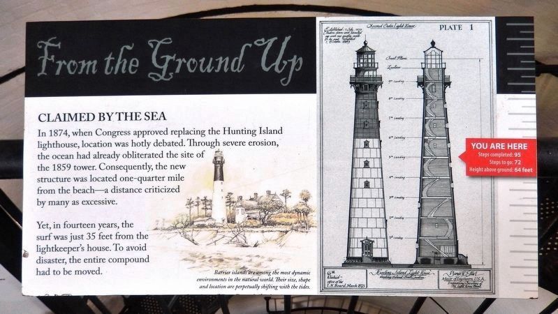
In 1874, when Congress approved replacing the Hunting Island lighthouse, location was hotly debated. Through severe erosion, the ocean had already obliterated the site of the 1859 tower. Consequently, the new structure was located one-quarter mile from the beach—a distance criticized by many as excessive.
Yet, in fourteen years, the surf was just 35 feet from the lightkeeper's house. To avoid disaster, the entire compound had to be moved.
Barrier islands are among the most dynamic environments in the natural world. Their size, shape and location are perpetually shifting with the tides.
Yet, in fourteen years, the surf was just 35 feet from the lightkeeper's house. To avoid disaster, the entire compound had to be moved.
Barrier islands are among the most dynamic environments in the natural world. Their size, shape and location are perpetually shifting with the tides.

Photographed By Cosmos Mariner, May 1, 2019
4. This Lighthouse Was Moved
(interpretive panel inside lighthouse)
(interpretive panel inside lighthouse)
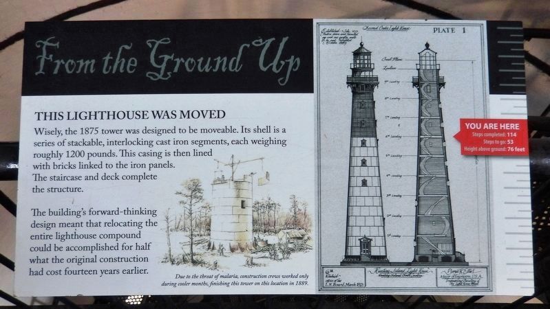
Wisely, the 1875 tower was designed to be moveable. Its shell is a series of stackable, interlocking cast iron segments, each weighing roughly 1200 pounds. This casing is then lined with bricks linked to the iron panels. The staircase and deck complete the structure.
The building's forward-thinking design meant that relocating the entire lighthouse compound could be accomplished for half what the original construction had cost fourteen years earlier.
Due to the threat of malaria, construction crews worked only during cooler months, finishing this tower on this location in 1889.
Credits. This page was last revised on June 18, 2019. It was originally submitted on June 17, 2019, by Cosmos Mariner of Cape Canaveral, Florida. This page has been viewed 183 times since then and 17 times this year. Photos: 1, 2. submitted on June 17, 2019, by Cosmos Mariner of Cape Canaveral, Florida. 3, 4. submitted on June 18, 2019, by Cosmos Mariner of Cape Canaveral, Florida.

