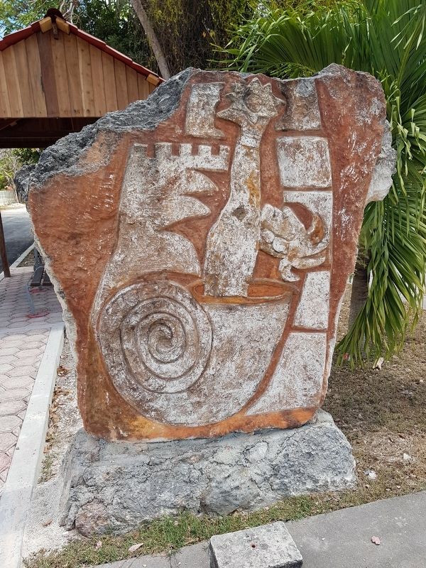
Bacalar, Quintana Roo, Mexico — The Yucatan Peninsula (The Southeast)
Bel Itzá, or Path of the Itzaes
Avenida Adolfo López Mateos
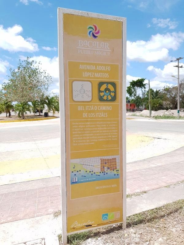
Bel Itzá o Camino de los Itzáes
Bacalar era una ciudad de paso obligado para llegar a Izamal, centro religioso prehispánico maya donde se veneraba a K’inich K'aak’ mo (el guacamayo de fuego con rostro solar), a donde iban en romería a suplicarle que aplacara sus sequías y sanara sus enfermedades. La ruta o el camino de los Itzáes partía desde Altar de Sacrificios, pasando por Ceibal, Tayasal, Tik’al, Uaxactún, Tipú, Lamanay, Chaktemal, Xul-Há, Bacalar, Chich’en Itzá y hasta lzamal.
Profesor Carlos Valdéz Chay (Pintor de Bacalar)
Profesor Jesús Morales Rosas (Historiador)
Avenida Adolfo López Mateos
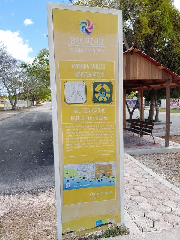
Bel Itzá, or the Path of the Itzaes
Bacalar was an obliged community to go by when travelling to Izamal. This city was an important pre-Columbian religious Mayan centre where K’inich K’aak’ mo (the fire Macaw with solar face) was worshiped. In great pilgrimage they used to go and pled to stop the drought and to heal their diseases. The route or path of the Itzaes began at the Altar de los Sacrificios (The Sacrificial Altar), passing through Ceibal, Tayasal, Tik’al, Uaxactún, Tipú, Lamanay, Chaktemal, Xul-Há, Bacalar, Chich’en Itzá and finally Izamal.
English translation:
Professor Carlos Valdéz Chay (Bacalar painter)
Professor Jesús Morales Rosas (Historian)
Topics. This historical marker is listed in these topic lists: Churches & Religion • Native Americans • Roads & Vehicles.
Location. 18° 40.349′ N, 88° 23.631′ W. Marker is in Bacalar, Quintana Roo. Marker is at the intersection of Avenida Alfredo López Mateos and Calle 10, in the median on Avenida Alfredo López Mateos. Touch for map. Marker is in this post office area: Bacalar QR 77930, Mexico. Touch for directions.
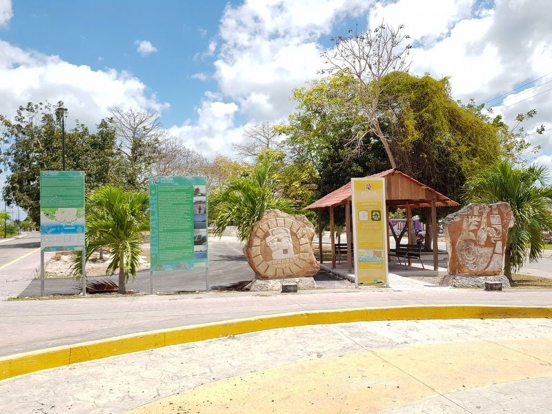
Other nearby markers. At least 8 other markers are within walking distance of this marker. Bacalar (here, next to this marker); a different marker also named Bacalar (a few steps from this marker); Pre-Columbian Time, End of Period (about 120 meters away, measured in a direct line); Bacalar - 1729 (about 240 meters away); Cenotes, Fresh Water Supply (approx. 0.3 kilometers away); a different marker also named Bacalar (approx. half a kilometer away); K'atunes or Periods of History (approx. half a kilometer away); Bacalar in the XVI Century (approx. half a kilometer away). Touch for a list and map of all markers in Bacalar.
Credits. This page was last revised on June 17, 2019. It was originally submitted on June 17, 2019, by J. Makali Bruton of Accra, Ghana. This page has been viewed 82 times since then and 3 times this year. Photos: 1, 2, 3, 4, 5. submitted on June 17, 2019, by J. Makali Bruton of Accra, Ghana.
