Near Newark in New Castle County, Delaware — The American Northeast (Mid-Atlantic)
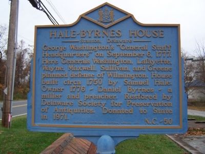
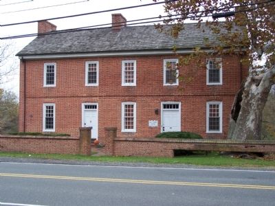
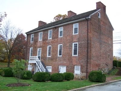
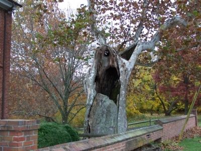
Hale-Byrnes House
Stanton, Delaware
Erected 1973 by Division of Historical & Cultural Affairs. (Marker Number NC-50.)
Topics and series. This historical marker is listed in these topic lists: Churches & Religion • Industry & Commerce • War, US Revolutionary. In addition, it is included in the Delaware Public Archives, and the Former U.S. Presidents: #01 George Washington series lists. A significant historical month for this entry is September 1813.
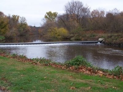
Location. 39° 42.089′ N, 75° 39.038′ W. Marker is near Newark, Delaware, in New Castle County. Marker is on Stanton-Ogletown Road, 0.3 miles north of Ogletown-Stanton Road, on the right when traveling north. Marker is next to White Clay Creek. Touch for map. Marker is at or near this postal address: 4755 Stanton-Ogletown Rd, Newark DE 19713, United States of America. Touch for directions.
Other nearby markers. At least 8 other markers are within 3 miles of this marker, measured as the crow flies. Robert Kirkwood, Jr. (approx. 1.6 miles away); Marshallton (approx. 1.9 miles away); Washington's Earthworks (approx. 2 miles away); The Home of William Julius "Judy" Johnson (approx. 2.1 miles away); The William Montgomery House (approx. 2.3 miles away); Christiana Public School #111-C (approx. 2.3 miles away); Old Fort Union American Methodist Episcopal Church (approx. 2.4 miles away); The Delaware Continentals (approx. 2.4 miles away).
Credits. This page was last revised on December 31, 2023. It was originally submitted on November 14, 2008, by Bill Pfingsten of Bel Air, Maryland. This page has been viewed 2,018 times since then and 33 times this year. Photos: 1, 2, 3, 4, 5. submitted on November 14, 2008, by Bill Pfingsten of Bel Air, Maryland.
