Newtownards Road
East Belfast
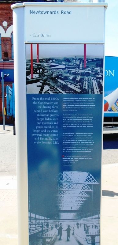
From the mid 1800s, the Connswater was the driving force behind east Belfast's industrial growth. Barges laden with raw materials and goods travelled its length and its waters powered many cotton and flax mills, such as the Portview Mill.
Throughout the nineteenth and for much of the twentieth century, east Belfast continued to grow as an industrial powerhouse, serving markets throughout the world. Thousands of 'yardmen' were employed in the Harland & Wolff shipyard, designing, building and launching magnificent ships. The Belfast Ropeworks Company Limited was the world's largest manufacturer of rope and twine.
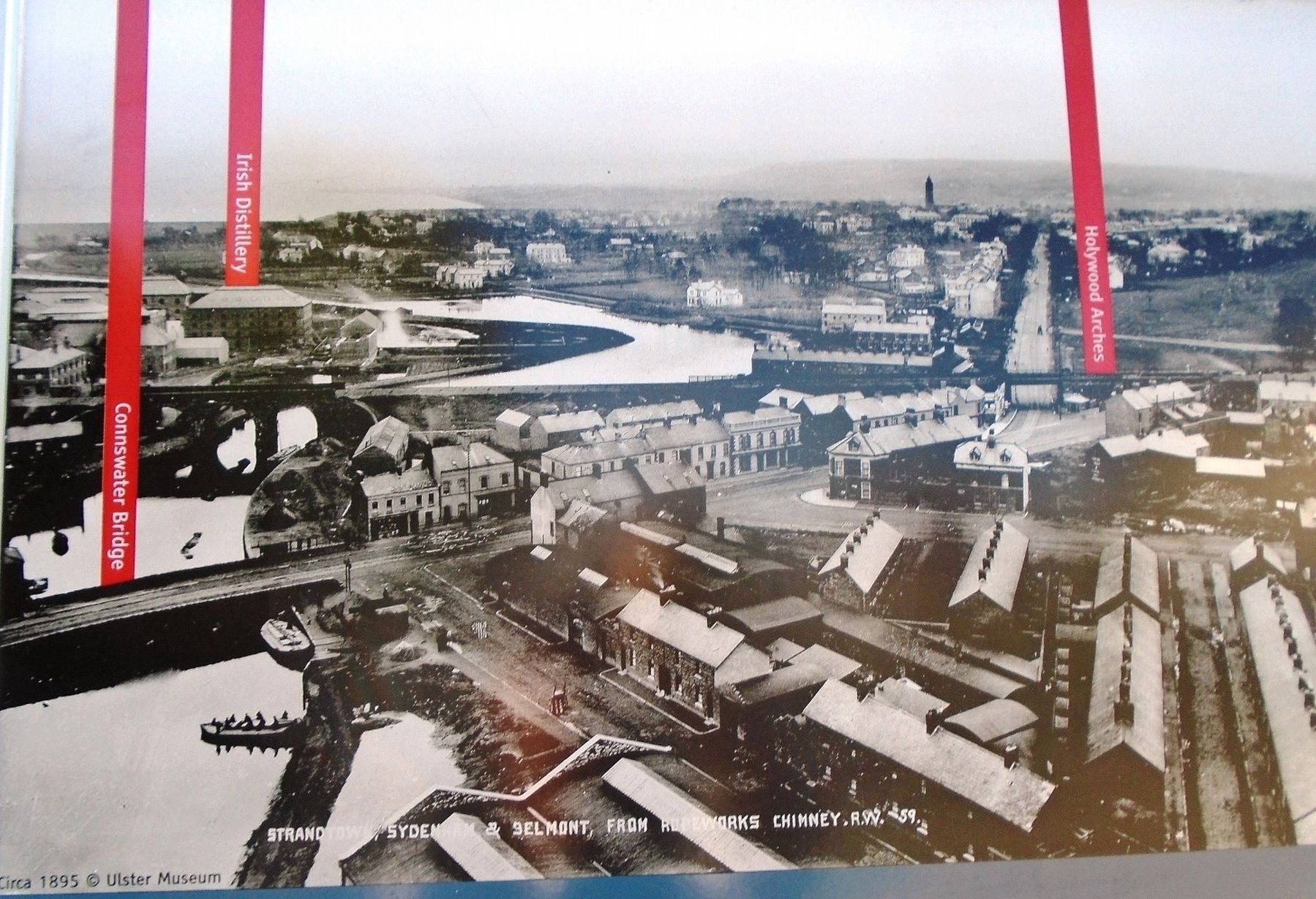
The Holywood Arches was a busy railway junction. Its two massive arches carried the trains of the County Down Railway, with more than one and a half million passengers travelling through it every year. There were glassworks and huge brickworks. Bread from the vast Inglis bakery fed hungry mouths near and far and the Irish Distillery churned out millions of gallons of the finest whiskey. Belfast meant business.
The growth of the Harland & Wolff shipyard in the late 1800s meant that a large and reliable source of rope was required, so in 1873, Edward Harland helped to set up the Belfast Ropeworks Company. By 1913, the Belfast Ropeworks was turning out over three hundred tons per week of every kind of rope
and cord, from the heaviest cable to the finest twine, and employing 3,600 workers. During the Second World War, Belfast supplied a quarter of a million tons of rope to the War Office. The Ropeworks continued to trade until 1983 and its former site is now home to Connswater Shopping Centre and Retail Park.[Illustration captions, from top to bottom, read]
• [In red] Connswater Bridge, Irish Distillery, Holywood Arches [Image c.1895]
• Belfast Ropeworks circa 1899
Erected by the City of Belfast.
Topics. This historical marker is listed in these topic lists: Industry & Commerce • Settlements & Settlers • Waterways & Vessels. A significant historical year for this entry is 1873.
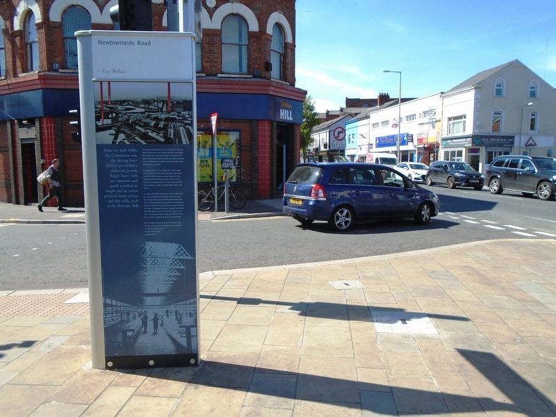
Location. 54° 35.884′ N, 5° 53.573′ W. Marker is in Belfast, Northern Ireland. Marker is at the intersection of Newtownards Road (Northern Ireland Route A20) and Albertbridge Road (Northern Ireland Route A20), on the left when traveling west on Newtownards Road. Touch for map. Marker is at or near this postal address: 369 Newtownards Road, Belfast, Northern Ireland BT4 1AJ, United Kingdom. Touch for directions.
Other nearby markers. At least 8 other markers are within walking distance of this marker. East Belfast Protestant Boys (within shouting distance of this marker); The Searcher (approx. 0.3 kilometers away); Hamilton Graving Dock / SS Nomadic (approx. 1.4 kilometers away); Harland and Wolff Shipyard
Also see . . .
1. EastSide Visitor Centre. (Submitted on June 21, 2019, by William Fischer, Jr. of Scranton, Pennsylvania.)
2. Visit Belfast. (Submitted on June 21, 2019, by William Fischer, Jr. of Scranton, Pennsylvania.)
Credits. This page was last revised on June 21, 2019. It was originally submitted on June 21, 2019, by William Fischer, Jr. of Scranton, Pennsylvania. This page has been viewed 377 times since then and 62 times this year. Photos: 1, 2, 3. submitted on June 21, 2019, by William Fischer, Jr. of Scranton, Pennsylvania.


