Valley Forge in Elizabethton in Carter County, Tennessee — The American South (East South Central)
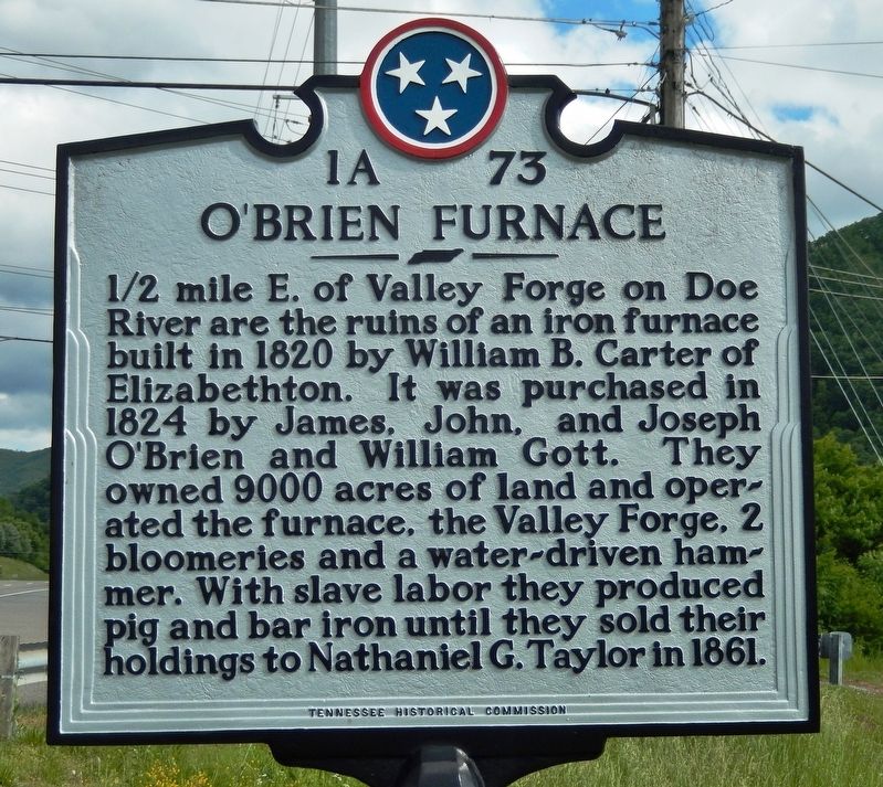
O'Brien Furnace
Erected by Tennessee Historical Commission. (Marker Number 1A-73.)
Topics. This historical marker is listed in this topic list: Industry & Commerce. A significant historical year for this entry is 1824.
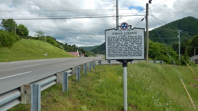
Location. Marker has been reported missing. It was located near 36° 18.387′ N, 82° 11.585′ W. Marker was in Elizabethton, Tennessee, in Carter County. It was in Valley Forge. Marker was at the intersection of U.S. 19E and Mill Pond Road, on the right when traveling south on U.S. 19E. Touch for map. Marker was at or near this postal address: 114 Valley Forge Christian Church Road, Elizabethton TN 37643, United States of America. Touch for directions.
Other nearby markers. At least 8 other markers are within 3 miles of this location, measured as the crow flies. Old Red Fox (within shouting distance of this marker); ET&WNC Railroad Covered Bridge (approx. 2.2 miles away); Elizabethton Blue Grays (approx. 2.7 miles away); Covered Bridge (approx. 3 miles away); First Court West of the Alleghenies (approx. 3 miles away); Carter County's Train History (approx. 3.1 miles away); Samuel Powhatan Carter (approx. 3.1 miles away); Carter County Veterans Monument (approx. 3.1 miles away). Touch for a list and map of all markers in Elizabethton.
Credits. This page was last revised on April 3, 2023. It was originally submitted on June 21, 2019, by Cosmos Mariner of Cape Canaveral, Florida. This page has been viewed 580 times since then and 54 times this year. Last updated on April 2, 2023, by Robin deBry of Elizabethton, Tennessee. Photos: 1. submitted on June 21, 2019, by Cosmos Mariner of Cape Canaveral, Florida. 2. submitted on June 22, 2019, by Cosmos Mariner of Cape Canaveral, Florida. • J. Makali Bruton was the editor who published this page.

