State College in Centre County, Pennsylvania — The American Northeast (Mid-Atlantic)
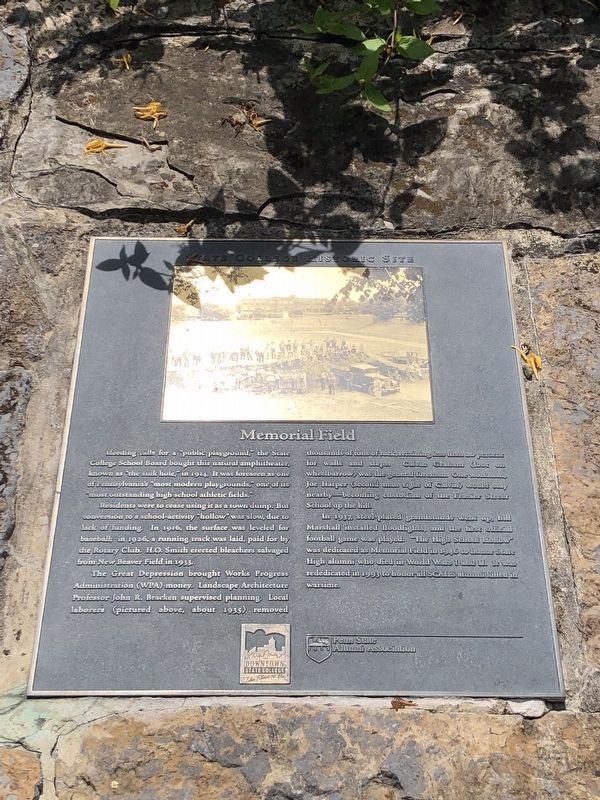
Memorial Field
State College Historic Site
Residents were to cease using it as a town dump. But conversion to a school-activity "hollow" was slow, due to lack of funding. In 1916, the surface was leveled for baseball; in 1926, a running track was laid, paid for by the Rotary Club. H.O. Smith erected bleachers salvaged from New Beaver Field in 1933.
The Great Depression brought Works Progress Administration (WPA) money. Landscape Architecture Professor John R. Bracken supervised planning. Local laborers (pictured above, about 1935) removed thousands of tons of rock, retaining less than 20 percent for walls and steps. Calvin Graham (foot on wheelbarrow) was the general foreman. One workman, Joe Harper (second man right of Calvin) would stay nearby—becoming custodian of the Frazier Street School up the hill.
In 1937, steel-plated grandstands went up, Bill Marshall installed floodlights, and the first official football game was played. "The High School Hollow" was dedicated as Memorial Field in 1946 to honor State High alumni who died in World War I and II. It was rededicated in 1993 to honor all SCAHS alumni killed in wartime.
Erected by Downtown State College; Penn State Alumni Association.
Topics and series. This historical marker is listed in these topic lists: Education • Parks & Recreational Areas • Sports. In addition, it is included in the Pennsylvania State University, and the Works Progress Administration (WPA) projects series lists. A significant historical year for this entry is 1914.
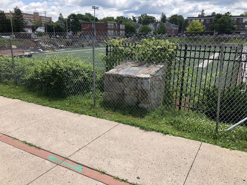
Location. 40° 47.484′ N, 77° 51.598′ W. Marker is in State College, Pennsylvania, in Centre County. Marker can be reached from the intersection of South Fraser Street and West Foster Avenue, on the right when traveling north. Touch for map. Marker is at or near this postal address: 17 South Fraser Street, State College PA 16801, United States of America. Touch for directions.
Other nearby markers. At least 8 other markers are within walking distance of this marker. The College Avenue Fountain (a few steps from this marker); State College High School (about 700 feet away, measured in a direct line); Dale Building (approx. 0.2 miles away); The State Theatre (approx. 0.2 miles away); Hotel State College (approx. 0.2 miles away); Heart-Assist Pump (approx. ¼ mile away); Diesel Engineering (approx. ¼ mile away); Industry Research (approx. ¼ mile away). Touch for a list and map of all markers in State College.
Additional keywords.
Credits. This page was last revised on June 22, 2019. It was originally submitted on June 22, 2019, by Devry Becker Jones of Washington, District of Columbia. This page has been viewed 163 times since then and 13 times this year. Photos: 1, 2. submitted on June 22, 2019, by Devry Becker Jones of Washington, District of Columbia.

