Bacalar, Quintana Roo, Mexico — The Yucatan Peninsula (The Southeast)
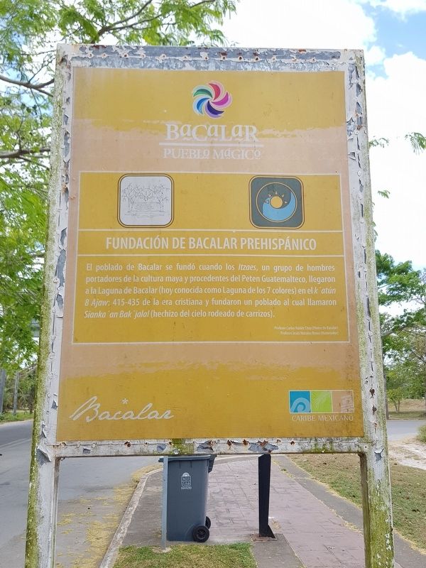
Pre-Columbian Bacalar, Foundation
Bacalar - Pueblo Mágico
El poblado de Bacalar se fundó cuando los Itzaes, un grupo de hombres portadores de la cultura maya y procedentes del Peten Guatemalteco, llegaron a la Laguna de Bacalar (hoy conocida como Laguna de los 7 colores) en el k’atún 8 Ajaw: 415-435 de la era cristiana y fundaron un poblado al cual llamaron Sianka'an Bak’jalal (hechizo del cielo rodeado de carrizos).
Profesor Carlos Valdéz Chay (Pintor de Bacalar)
Profeser Jesus Morales Rosas (Historiador)
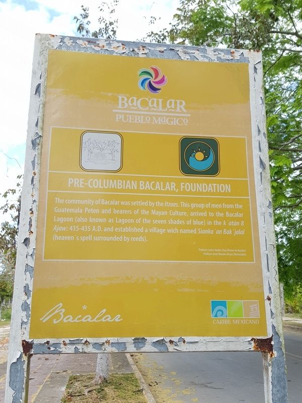
Pre-Columbian Bacalar, Foundation
The community of Bacalar was settled by the Itzaes. This group of men from the Guatemala Peten and bearers of the Mayan Culture, arrived to the Bacalar Lagoon (also known as Lagoon of the seven shades of blue) in the k’atun 8 Ajaw: 415-435 A.D. and established a village which named Siank'an Bak’jalal (heaven's spell surrounded by reeds).
English translation:
Professor Carlos Valdéz Chay (Bacalar painter)
Professor Jesús Morales Rosas (Historian)
Topics. This historical marker is listed in these topic lists: Man-Made Features • Native Americans • Settlements & Settlers.
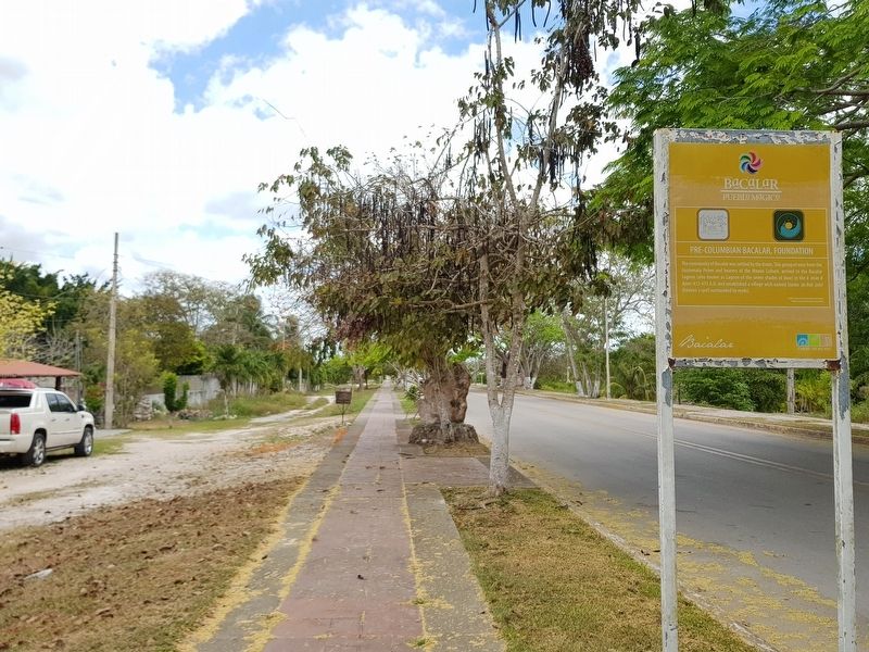
Location. 18° 40.063′ N, 88° 23.893′ W. Marker is in Bacalar, Quintana Roo. Marker is on Avenida Adolfo López Mateos just south of Calle 0, on the right when traveling south. Touch for map. Marker is in this post office area: Bacalar QR 77930, Mexico. Touch for directions.
Other nearby markers. At least 8 other markers are within walking distance of this marker. K'atunes or Periods of History (about 210 meters away, measured in a direct line); Bacalar (approx. 0.2 kilometers away); Cenotes, Fresh Water Supply (approx. 0.4 kilometers away); Bacalar - 1729 (approx. half a kilometer away); Pre-Columbian Time, End of Period (approx. 0.6 kilometers away); a different marker also named Bacalar (approx. 0.7 kilometers away); Bel Itzá, or Path of the Itzaes (approx. 0.7 kilometers away); a different marker also named Bacalar (approx. 0.7 kilometers away). Touch for a list and map of all markers in Bacalar.
Credits. This page was last revised on June 22, 2019. It was originally submitted on June 22, 2019, by J. Makali Bruton of Accra, Ghana. This page has been viewed 69 times since then and 4 times this year. Photos: 1, 2, 3. submitted on June 22, 2019, by J. Makali Bruton of Accra, Ghana.


