Rockville in Montgomery County, Maryland — The American Northeast (Mid-Atlantic)
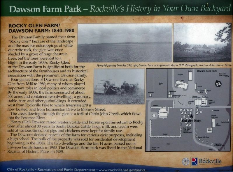
Rocky Glen Farm / Dawson Farm: 1840-1980
Dawson Farm Park - Rockville’s History in Your Own Backyard
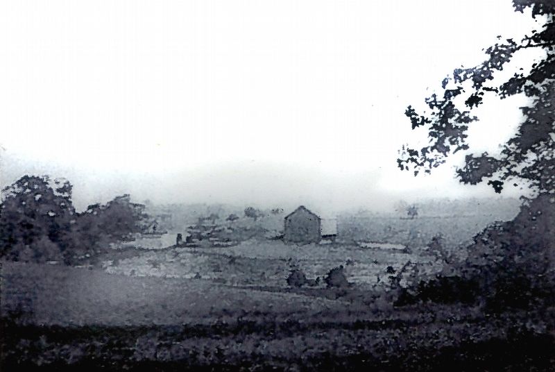
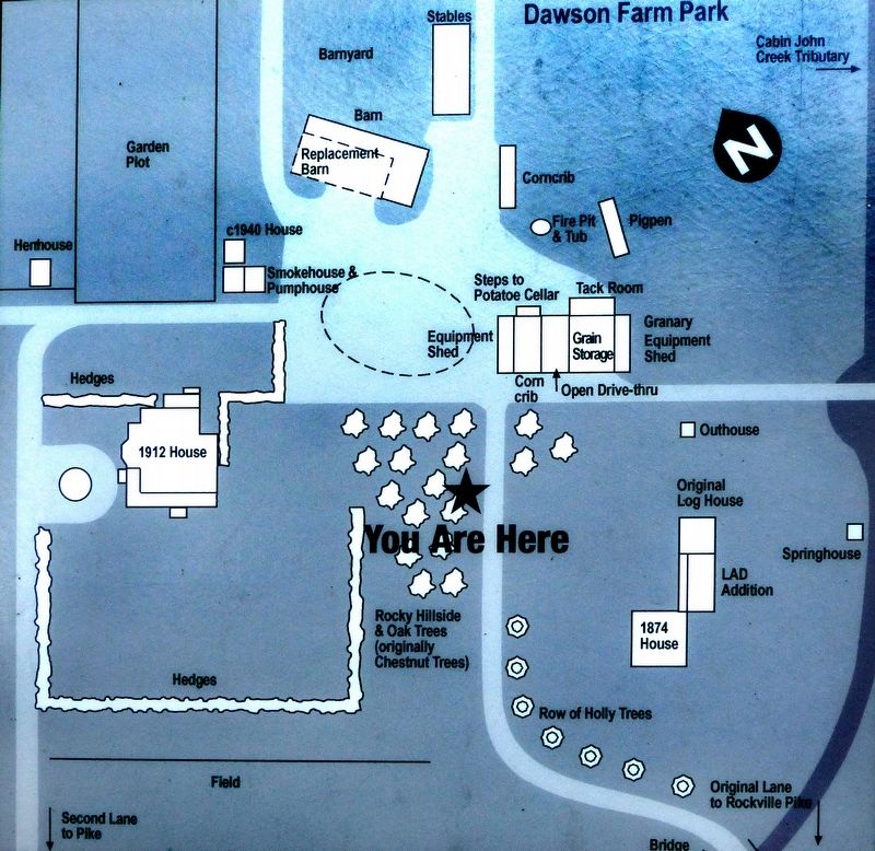
Four generations of Dawsons lived at Rocky Glen from 1840 to 1980, many of whom played important roles in local politics and commerce. By the early 1900s, the farm consisted of about 500 acres and contained two dwellings, a granary, stable, barn and other outbuildings. It extended west from Rockville Pike to where Interstate 270 is now located, and from Edmonston Drive to Monroe Street.
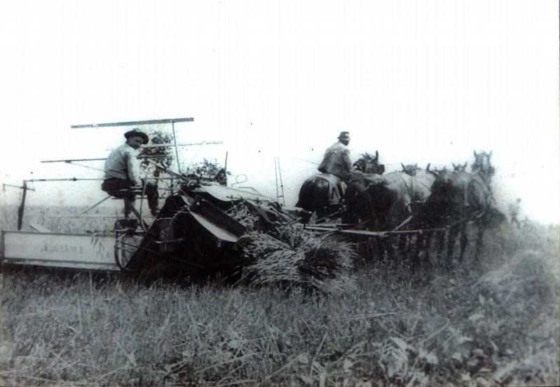
The creek flowing through the glen is a fork of Cabin John Creek, which flows into the Potomac River. Henry (Hal) Dawson raised western cattle and horses upon his return to Rocky Glen after almost 30 years in South Dakota. Cattle, hogs, milk and cream were sold at various times, but pigs and chickens were kept for family use.
The Dawsons donated parcels of the farm for various civic purposes, including a high school. The bulk of the property was sold for residential development beginning in the 1950s. The two dwellings and the last 14 acres passed out of Dawson family hands in 1980. The Dawson Farm park was listed in the National Register of Historic Places in 1985.
Topics. This historical marker is listed in this topic list: Notable Places. A significant historical year for this entry is 1840.
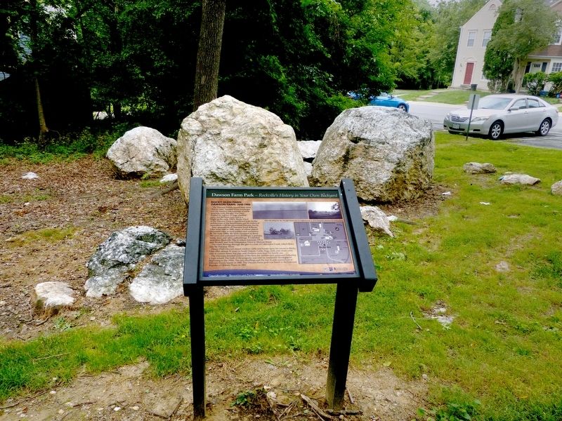
Location. 39° 4.483′ N, 77° 8.542′ W. Marker is in Rockville, Maryland, in Montgomery County. Marker can be reached from Ritchie Parkway. This marker is in Dawson Farm Park. Touch for map. Marker is at or near this postal address: 1071 Copperstone Ct, Rockville MD 20852, United States of America. Touch for directions.
Other nearby markers. At least 8 other markers are within walking distance of this marker. Dawson Farm - 1840-1979 (within shouting distance of this marker); Rocky Glen Farm / Dawson Farmhouse: Built 1874 (about 300 feet away, measured in a direct line); Rocky Glen Farm / Dawson Farmhouse: Built 1912 (about 300 feet away); John C. Brown Memorial Bridge (approx. 0.4 miles away); Saint Mary's Church (approx. half a mile away); Saint Mary's Catholic Church (approx. half a mile away); Rockville Station (approx. 0.6 miles away); Montgomery County Jail (approx. 0.7 miles away). Touch for a list and map of all markers in Rockville.
Credits. This page was last revised on June 4, 2021. It was originally submitted on June 24, 2019, by Allen C. Browne of Silver Spring, Maryland. This page has been viewed 220 times since then and 14 times this year. Photos: 1, 2, 3, 4, 5. submitted on June 24, 2019, by Allen C. Browne of Silver Spring, Maryland. • Bill Pfingsten was the editor who published this page.
