Chetumal in Othón P. Blanco, Quintana Roo, Mexico — The Yucatan Peninsula (The Southeast)
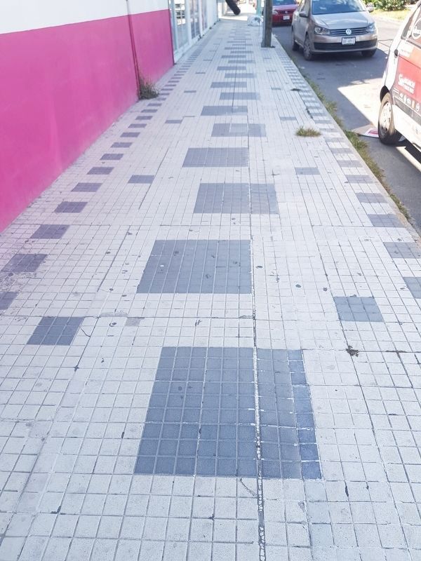
Remnants of Chetumal's Sidewalks
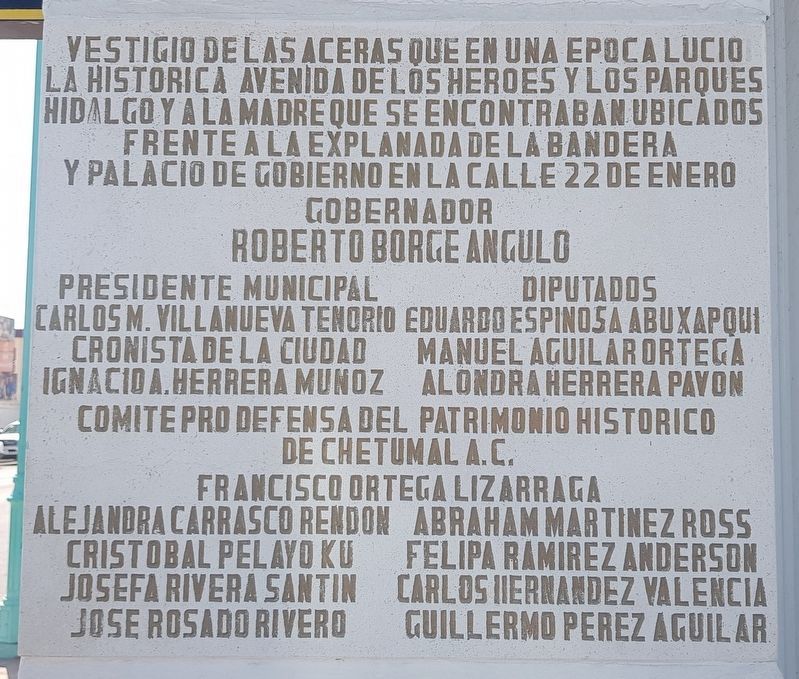
Gobernador Roberto Borge Angulo ∙ Presidente Municipal Carlos M Villanueva Tenorio ∙ Diputados Eduardo Espinosa Abux Apqui ∙ Manuel Aguilar Ortega ∙ Alondra Herrera Pavon ∙ Cronista de la Ciudad Ignacio A Herrera Munoz ∙ Comité Pro Defensa del Patrimonio Historico de Chetumal A.C. ∙ Francisco Ortega Lizarraga ∙ Alejandra Carrasco Rendon ∙ Abraham Martinez Ross ∙ Cristobal Pelayo Ku ∙ Felipa Ramirez Anderson ∙ Josefa Rivera Santin ∙ Carlos Hernandez Valencia ∙ Jose Rosado Rivero ∙ Guillermo Perez Aguilar
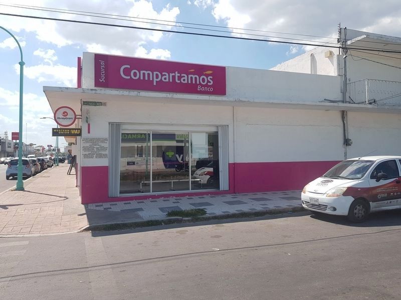
These are remnants of the original sidewalks that once graced the historic Avenida de los Héroes (Heroes' Avenue) and the Hidalgo and Mothers’ Parks that were located in front of the Plaza of the Flag and the Government Palace on 22 de Enero Street
Names of government officials
Topics. This historical marker is listed in these topic lists: Industry & Commerce • Roads & Vehicles.
Location. 18° 29.834′ N, 88° 18.035′ W. Marker is in Chetumal, Quintana Roo, in Othón P. Blanco. Marker is at the intersection of Avenida Francisco I. Madero and Avenida Álvaro Obregón, on the right when traveling south on Avenida Francisco I. Madero. Touch for map. Marker is in this post office area: Chetumal QR 77000, Mexico. Touch for directions.
Other nearby markers. At least 8 other markers are within walking distance of this marker. Businesses of Yesteryear (approx. 0.4 kilometers away); The Maya Region and the Route of the Churches (approx. 0.4 kilometers away); José María Morelos y Pavón (approx. 0.4 kilometers away); Hurricane Janet (approx. 0.4 kilometers away); Francisco I. Madero (approx. 0.4 kilometers away); a different marker also named Hurricane Janet (approx. 0.4 kilometers away); Kiosko López (approx. 0.4 kilometers away); Miguel Hidalgo y Costilla (approx. 0.4 kilometers away). Touch for a list and map of all markers in Chetumal.
Credits. This page was last revised on June 26, 2019. It was originally submitted on June 25, 2019, by J. Makali Bruton of Accra, Ghana. This page has been viewed 93 times since then and 7 times this year. Photos: 1, 2, 3. submitted on June 25, 2019, by J. Makali Bruton of Accra, Ghana.


