Calderitas in Othón P. Blanco, Quintana Roo, Mexico — The Yucatan Peninsula (The Southeast)
Structure IX at Oxtankah - Palace
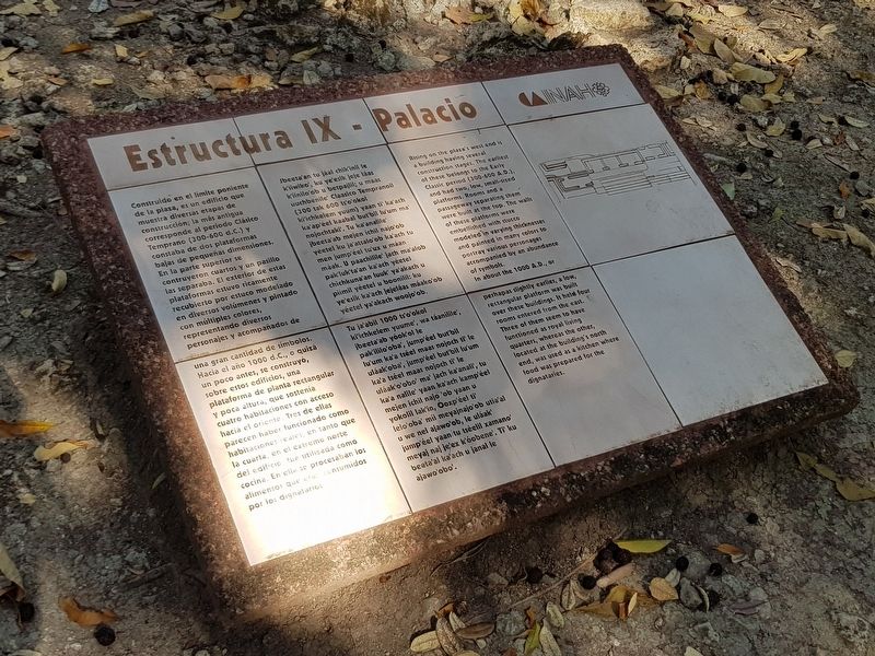
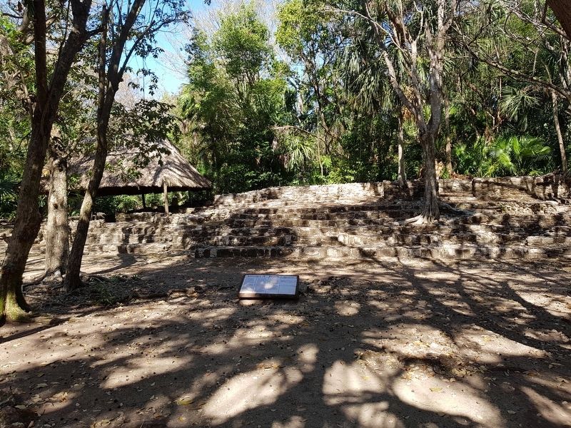
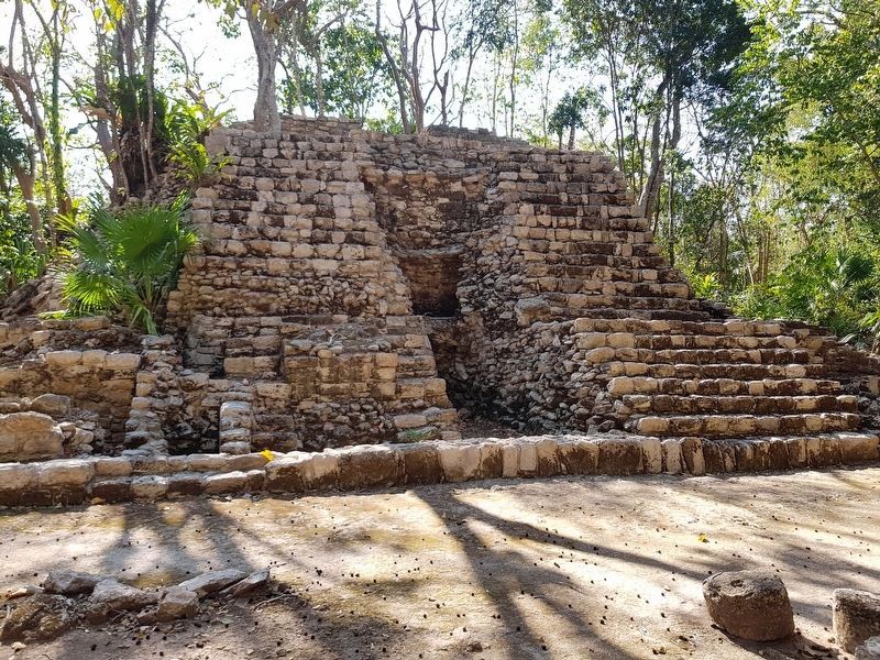
Construido en el límite poniente de la plaza, es un edificio que muestra diversas etapas de construcción; la más antigua corresponde al periodo Clásico Temprano (300-600 d.C.) y constaba de dos plataformas bajas de pequeñas dimensiones. En la parte superior se contruyeron cuartos y un pasillo las separaba. El exterior de estas plataformas estuvo ricamente recubierto por estuco modelado en diversos volúmenes y pintado con múltiples colores, representando diversos personajes y acompañados de una gran cantidad de símbolos. Hacia el año 1000 d.C., o quizá un poco antes, se construyó, sobre estos edificios, una plataforma de planta rectangular y poca altura, que sostenía cuatro habitaciones con acceso hacia el oriente. Tres de ellas parecen haber funcionado como habitaciones reales, en tanto que la cuarta, en el extremo norte del edificio fue utilizada como cocina. En ella se procesaban los alimentos que eran consumidos por los dignatarios.
Estructura IX – Palacio
Jbeeta'an tu jáal chik'inil le kiiwiko', ku ye'erik jeje láa k'iinilo'ob u betpajlil; u maas üuchbenile' Claasico Tempranoil (300 tak 600 ts'o'okol ki'ichkelem yuum) yaan ti ka'ach ka'ap'eel kaabal but'bil lu'um ma’ mojochtaki. Tu ka'analile beeta'ab mejen ichil najo'ob véetel ku ja'atsalo'ob ka'ach tu men jumpéel tu'ux u máan maak. U paachilile' İach ma'alob pakluk'ta'an ka'ach yéetel chichkuna'an luuk' ya'akach u piimil yéetel u boonilil: ku ye'esik ka'ach jejeláas máako’ob yéetel ya'akach woojo'ob. Tu ja'abil 1000 ts'o'okol ki'ichkelem yuume', wa táanilile ibeeta'ab yóok'ol le pakililo'oba', jumpéel but bil lu'um ka'a tséel maas nojoch ti' le uláak'oba', jump'éel but'bil lu'um ka'a tséel maas nojoch ti le uláak'o'obo' ma' jach ka'anali, tu ka'a nalile' yaan ka'ach kamp'éel mejen ichil najo 'ob yaan u yokolil lak'in, Ooxp'éel ti lelo'oba' mii meyajnajo'ob utia'al u we nel ajawo'ob, le uláak jumpéel yaan tu tséelil xamano meyaj naj je'ex k'oobene'. Ti' ku beata'al kaach u janal le ajawo'obo'.
Structure IX at Oxtankah – Palace
Rising on the plaza's west end is a building having several construction stages. The earliest of these belongs to the Early Classic period (300-600 A.D.), and had two, low, small-sized platforms. Rooms and a passageway separating them were built at the top. The walls of these platforms were embellished with stucco modeled in varying thicknesses and painted in many colors to portray various personages accompanied by an abundance of symbols. In about the 1000 A.D., or perhaps slightly earlier, a low, rectangular platform was built over these buildings. It held four rooms entered from the east. Three of them seem to have functioned as royal living quarters, whereas the other, located at the building's north end, was used as a kitchen where food was prepared for the dignitaries.
Erected by Instituto Nacional de Antropología e Historia (INAH).
Topics. This historical marker is listed in these topic lists: Architecture • Man-Made Features • Native Americans.
Location. 18° 36.317′ N, 88° 14.167′ W. Marker is in Calderitas, Quintana Roo, in Othón P. Blanco. Marker can be reached from Unnamed road just west of Chetumal Coastal Road, on the left when traveling north. The marker is at the Oxtankah Archaeological Site. Touch for map. Marker is in this post office area: Calderitas QR 77930, Mexico. Touch for directions.
Other nearby markers. At least 8 other markers are within 13 kilometers of this marker, measured as the crow flies. Structure III at Oxtankah - Palace (about 150 meters away, measured in a direct line); An Altar at Oxtankah (about 180 meters away); Structure IV at Oxtankah (approx. 0.2 kilometers away); Oxtankah Archaeological Site (approx. 0.6 kilometers away); Chetumal - Kohunlich and Oxtankah
(approx. 10.3 kilometers away); Heroes of April 1914 (approx. 11.3 kilometers away); Chetumal Meetings (approx. 12 kilometers away); The Chetumal Mask (approx. 12.9 kilometers away). Touch for a list and map of all markers in Calderitas.
Credits. This page was last revised on June 25, 2019. It was originally submitted on June 25, 2019, by J. Makali Bruton of Accra, Ghana. This page has been viewed 84 times since then and 5 times this year. Photos: 1, 2, 3, 4. submitted on June 25, 2019, by J. Makali Bruton of Accra, Ghana.


