Near Santa Rosa Jáuregui in Querétaro, Mexico — The Central Highlands (North America)
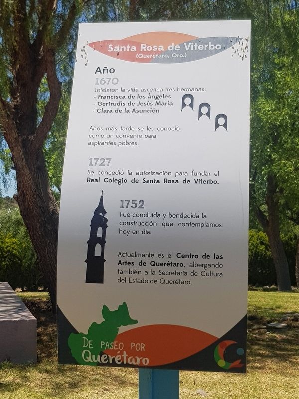
Santa Rosa de Viterbo
De Paseo por Querétaro
(Querétaro, Qro.)
Año 1670 ∙ Iniciaron la vida ascética tres hermanas: Francisca de los Ángeles, Gertrudis de Jesús María, Clara de la Asunción
Años más tarde se les conoció como un convento para aspirantes pobres.
1727 ∙ Se concedió la autorización para fundar el Real Colegio de Santa Rosa de Viterbo.
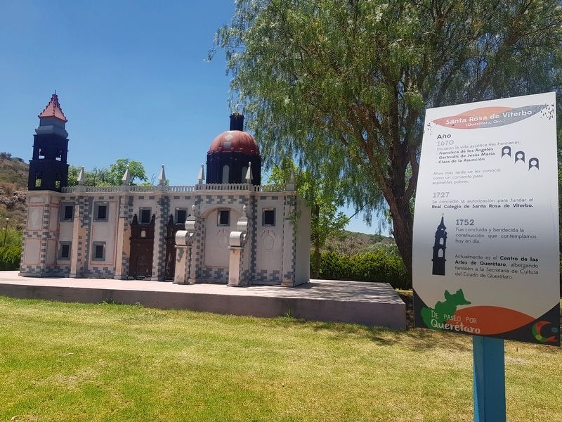
1752 ∙ Fue concluida y bendecida la construcción que contemplamos hoy en día.
Actualmente es el Centro de las Artes de Querétaro, albergando también a la Secretaría de Cultura del Estado de Querétaro.
Santa Rosa de Viterbo
(Querétaro, Querétaro)
1670 ∙ Three sisters began their monastic life: Francisca de los Ángeles, Gertrudis de Jesús María and Clara de la Asunción. Years later they were authorized as a convent for poor aspirants.
1727 ∙ The authorization to found the Royal College of Santa Rosa de Viterbo was granted.
1752 ∙ The construction that we contemplate today was finally completed and blessed.
It is currently the Center for the Arts of Querétaro, also hosting the Secretariat of Culture of the State of Querétaro.
Topics. This historical marker is listed in these topic lists: Churches & Religion • Colonial Era • Man-Made Features • Women. A significant historical year for this entry is 1550.
Location. 20° 43.935′ N, 100° 27.03′ W. Marker is near Santa Rosa Jáuregui, Querétaro. Marker can be reached from Calle Melchor Ocampo just west of Independencia, on the left when traveling west. The marker is part of a series of markers near replicas of historic landmarks of Querétaro. The series is part of the "Parque Ludíca" attraction, just east of the large man-made lake at Parque Bicentenario. Touch for map. Marker is in this post office area: Santa Rosa Jáuregui QUE 76220, Mexico. Touch for directions.
Other nearby markers. At least 8 other markers are within walking distance of this marker. The Mission at Concá (within shouting distance of this marker); Temple of the Santa Cruz (within shouting distance of this marker); Teatro de la República (about 90 meters away, measured in a direct line); The Mission at Tilaco (about 90 meters away); A Group of Revolutionaries (about 90 meters away); Aqueduct of Querétaro (about 90 meters away); Peña de Bernal (about 90 meters away); House of the Corregidora (about 120 meters away). Touch for a list and map of all markers in Santa Rosa Jáuregui.
Credits. This page was last revised on October 8, 2020. It was originally submitted on June 27, 2019, by J. Makali Bruton of Accra, Ghana. This page has been viewed 80 times since then and 4 times this year. Photos: 1, 2. submitted on June 27, 2019, by J. Makali Bruton of Accra, Ghana.

