Cobbs Creek in Philadelphia in Philadelphia County, Pennsylvania — The American Northeast (Mid-Atlantic)
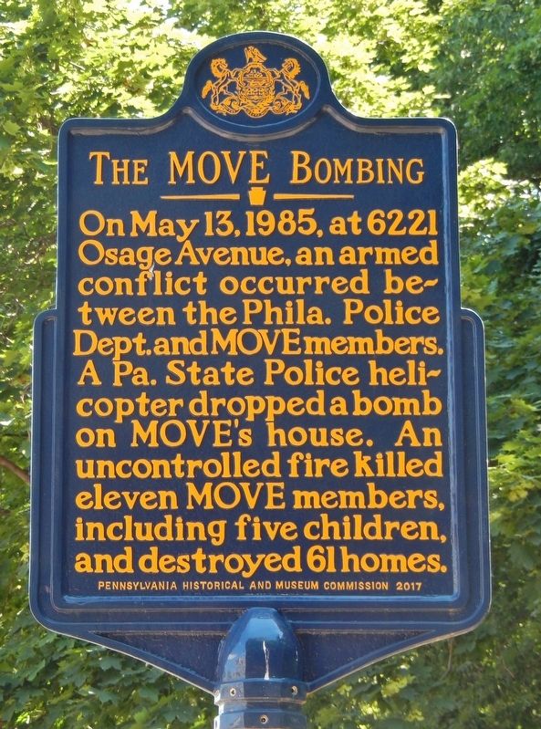
The MOVE Bombing
Erected 2017 by Pennsylvania Historical and Museum Commission.
Topics and series. This historical marker is listed in these topic lists: Disasters • Law Enforcement. In addition, it is included in the Pennsylvania Historical and Museum Commission series list. A significant historical date for this entry is May 13, 1985.
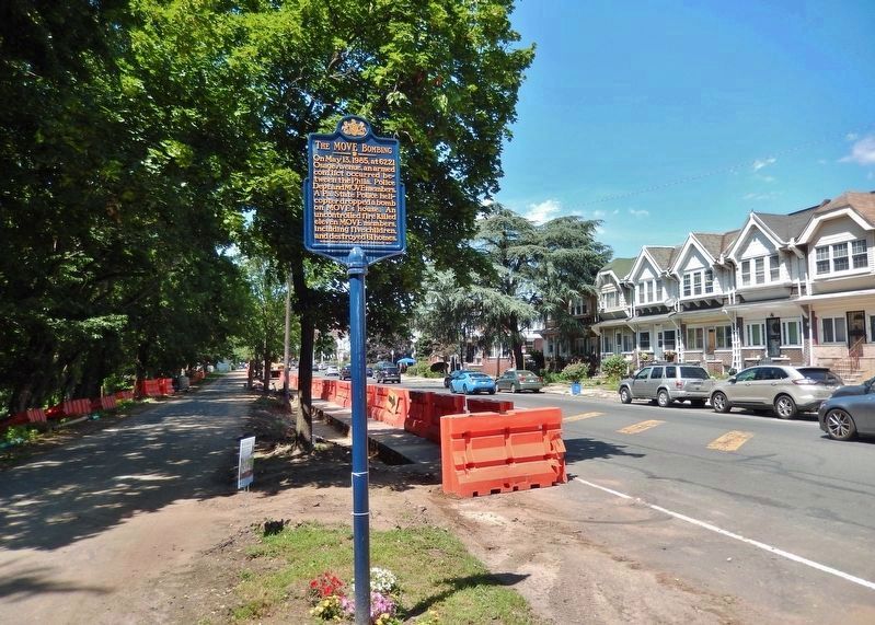
Location. 39° 57.343′ N, 75° 14.902′ W. Marker is in Philadelphia, Pennsylvania, in Philadelphia County. It is in Cobbs Creek. Marker is at the intersection of South 63rd Street and Osage Avenue, on the right when traveling south on South 63rd Street. Touch for map. Marker is at or near this postal address: 413 S 63rd St, Upper Darby PA 19082, United States of America. Touch for directions.
Other nearby markers. At least 8 other markers are within 2 miles of this marker, measured as the crow flies. All U.S. War Veterans Memorial (approx. one mile away); War Memorial (approx. one mile away); Rev. Isaac Leeser (approx. one mile away); Crystal Bird Fauset (approx. 1.3 miles away); Lansdowne World War Monument (approx. 1.4 miles away); Abraham L. Pennock (approx. 1.4 miles away); Paul Robeson (approx. 1.4 miles away); World War I Memorial (approx. 1˝ miles away). Touch for a list and map of all markers in Philadelphia.
Also see . . . Inside the May 1985 Assault on Osage Avenue. On May 13, 1985 at 5:20 p.m., a blue and white Pennsylvania State Police helicopter took off from the command post’s flight pad at 63rd and Walnut, flew a few times over 6221 Osage Avenue, and then hovered 60 feet above the two-story house in the black, middle-class West Philadelphia neighborhood... (Submitted on June 29, 2019, by Cosmos Mariner of Cape Canaveral, Florida.)
Credits. This page was last revised on February 2, 2024. It was originally submitted on June 28, 2019, by Cosmos Mariner of Cape Canaveral, Florida. This page has been viewed 962 times since then and 118 times this year. Photos: 1, 2, 3. submitted on June 29, 2019, by Cosmos Mariner of Cape Canaveral, Florida. 4. submitted on July 3, 2023, by Devry Becker Jones of Washington, District of Columbia.


