Washington Township near Waynesboro in Franklin County, Pennsylvania — The American Northeast (Mid-Atlantic)
The Battle of Monterey Pass
The Midnight Fight
Inscription.
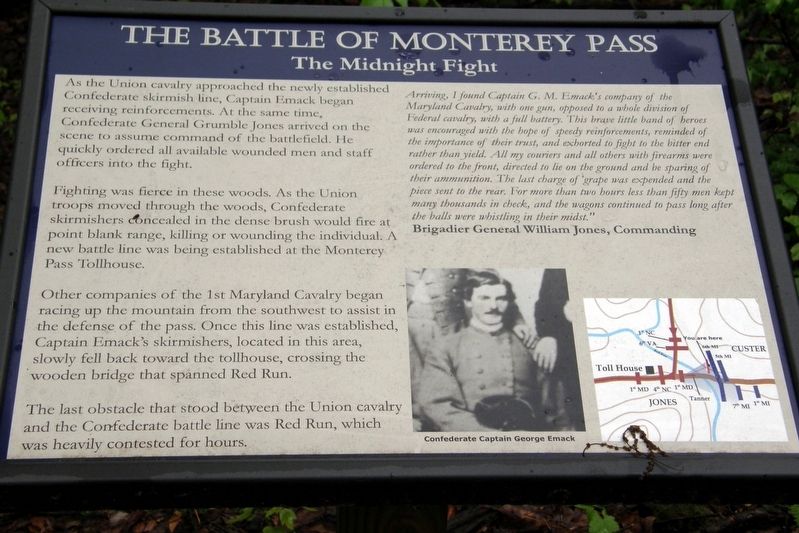
As the Union cavalry approached the newly established Confederate skirmish line, Captain Emack began receiving reinforcements. At the same time, Confederate General Grumble Jones arrived on the scene to assume command of the battlefield. He quickly ordered all available wounded men and staff officers into the fight.
Fighting was fierce in these woods. As Union troops moved through these woods, Confederate skirmishers concealed in the dense brush would fire at point blank range, killing or wounding the individual. A new battle line was being established at the Monterey Pass Tollhouse.
Other companies of the 1st Maryland Cavalry began racing up the mountain from the southwest to assist in the defense of the pass. Once this line was established, Captain Emack’s skirmishers, located in this area, slowly fell back towards the tollhouse, crossing the wooden bridge that spanned Red Run.
The last obstacle that stood between the Union cavalry and the Confederate battle line was Red Run, which was heavily contested for hours.
”Arriving, I found Captain G. M. Emack’s company of the Maryland Cavalry, with one gun, opposed to a whole division of Federal cavalry with a full battery. This brave little band of heroes was encouraged with the hope of speedy reinforcements, reminded of the importance of their trust, and exhorted to fight to the bitter end rather than yield. All my couriers and all others with firearms were ordered to the front, directed to lie on the ground and be sparing of their ammunition. The last charge of grape was expended and the piece sent to the rear. For more than two hours, less than fifty men held many thousands in check, and the wagons continued to pass along as the balls were whistling in their midst.”
Brigadier General William Jones, Commanding
Topics. This historical marker is listed in this topic list: War, US Civil. A significant historical date for this entry is July 4, 1863.
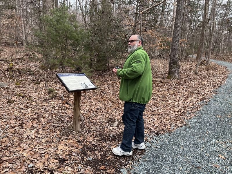
Location. 39° 44.351′ N, 77° 28.68′ W. Marker is near Waynesboro, Pennsylvania, in Franklin County. It is in Washington Township. Marker can be reached from Charmian Road, 0.1 miles east of Buchanan Trail East/Waynesboro Road (Pennsylvania Route 16), on the left when traveling east. Park at Rolando Woods Park. Touch for map. Marker is at or near this postal address: 9 Charmian Road, Waynesboro PA 17268, United States of America. Touch for directions.
Other nearby markers. At least 8 other markers are within walking distance of this marker. A different marker also named The Battle of Monterey Pass (within shouting distance of this marker); 10,000 Soldiers Fight at Monterey Pass (about 300 feet away, measured in a direct line); a different marker also named The Battle of Monterey Pass (about 300 feet away); Before The Battle Of Gettysburg
More about this marker. Chronologically, the marker is third of a series on the Billy Yank Trail.
Credits. This page was last revised on February 7, 2023. It was originally submitted on June 28, 2019, by Larry Gertner of New York, New York. This page has been viewed 198 times since then and 14 times this year. Last updated on June 29, 2019, by Larry Gertner of New York, New York. Photos: 1. submitted on June 28, 2019, by Larry Gertner of New York, New York. 2. submitted on February 21, 2022, by Devry Becker Jones of Washington, District of Columbia. 3, 4. submitted on June 28, 2019, by Larry Gertner of New York, New York. • Bernard Fisher was the editor who published this page.


