Washington Township near Waynesboro in Franklin County, Pennsylvania — The American Northeast (Mid-Atlantic)
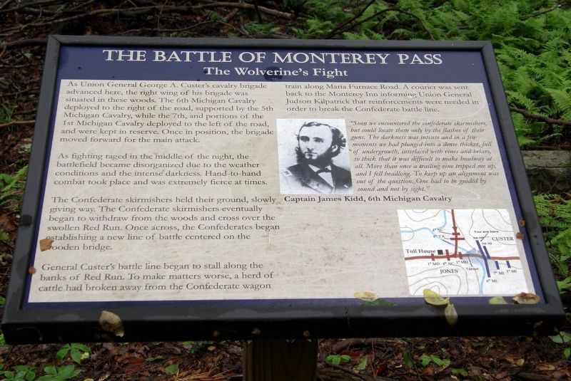
The Battle of Monterey Pass
The Wolverine's Fight
As fighting raged in the middle of the night, the battlefield became disorganized due to the weather conditions and the intense darkness. Hand-to-hand combat took place and was extremely fierce at times.
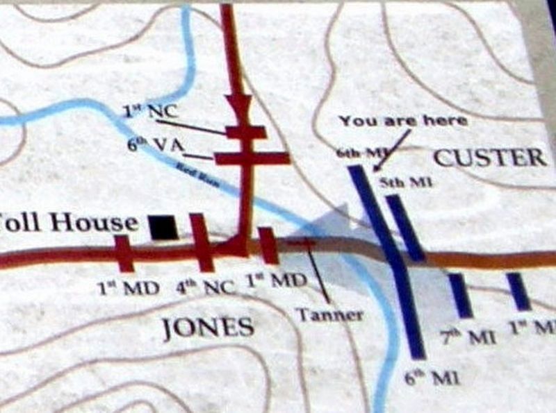
The Confederate skirmishers held their ground, slowly giving way. The Confederate skirmishers eventually began to withdraw from the woods and cross over the swollen Red Run. Once across, the Confederates began establishing a new line of battle centered on the wooden bridge.
General Custerís battle line began to stall along the banks of Red Run. To make matters worse, a herd of cattle had broken away from the Confederate wagon train along Maria Furnace Road. A courier was sent back to the Monterey Inn informing Union General Judson Kilpatrick that reinforcements were needed in order to break the Confederate battle line.
”Soon we encountered the confederate skirmishers, but could locate them only by the flashes of their guns. The darkness was intense and in a few moments we had plunged into a dense thicket, full of undergrowth, interlaced with vines and briars, so thick, that it was difficult to make headway at all. More than one trailing vine tripped me up, and I fell headlong. To keep up an alignment was out of the question. One had to be guided by sound and not by sight.”
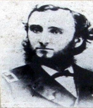
Captain James Kidd, 6th Michigan Cavalry
Topics. This historical marker is listed in this topic list: War, US Civil. A significant historical date for this entry is July 4, 1863.
Location. 39° 44.414′ N, 77° 28.671′ W. Marker is near Waynesboro, Pennsylvania, in Franklin County. It is in Washington Township. Marker can be reached from Charmian Road east of Buchanan Trail East/Waynesboro Road, on the left when traveling east. Touch for map. Marker is at or near this postal address: 14355 Charmian Rd, Waynesboro PA 17268, United States of America. Touch for directions.
Other nearby markers. At least 8 other markers are within walking distance of this marker. A different marker also named The Battle of Monterey Pass (about 400 feet away, measured in a direct line); Before The Battle Of Gettysburg (about 600 feet away); The Raid On Harpers Ferry (about 600 feet away); The Underground Railroad (about 600 feet away); a different marker also named The Battle of Monterey Pass (about 600 feet away); a different marker also named
The Battle of Monterey Pass (about 600 feet away); a different marker also named Before The Battle Of Gettysburg (about 600 feet away); Blue Ridge Summit Lions (about 600 feet away). Touch for a list and map of all markers in Waynesboro.
More about this marker. Chronologically, this is second of a series on the Billy Yank Trail.
Credits. This page was last revised on February 7, 2023. It was originally submitted on June 29, 2019, by Larry Gertner of New York, New York. This page has been viewed 192 times since then and 10 times this year. Photos: 1, 2, 3, 4, 5. submitted on June 29, 2019, by Larry Gertner of New York, New York. • Bill Pfingsten was the editor who published this page.
