Erlanger in Kenton County, Kentucky — The American South (East South Central)
Erlanger Depot / Erlanger Proper Subdivision
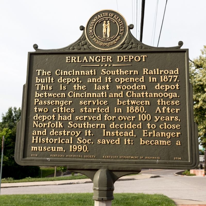
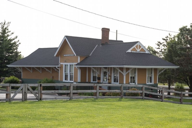
Erlanger Depot. The Cincinnati Southern Railroad built depot, and it opened in 1877. This is the last wooden depot between Cincinnati and Chattanooga. Passenger service between these two cities started in 1880. After depot had served for over 100 years, Norfolk Southern decided to close and destroy it. Instead, Erlanger Historical Society saved it; became a museum, 1990.
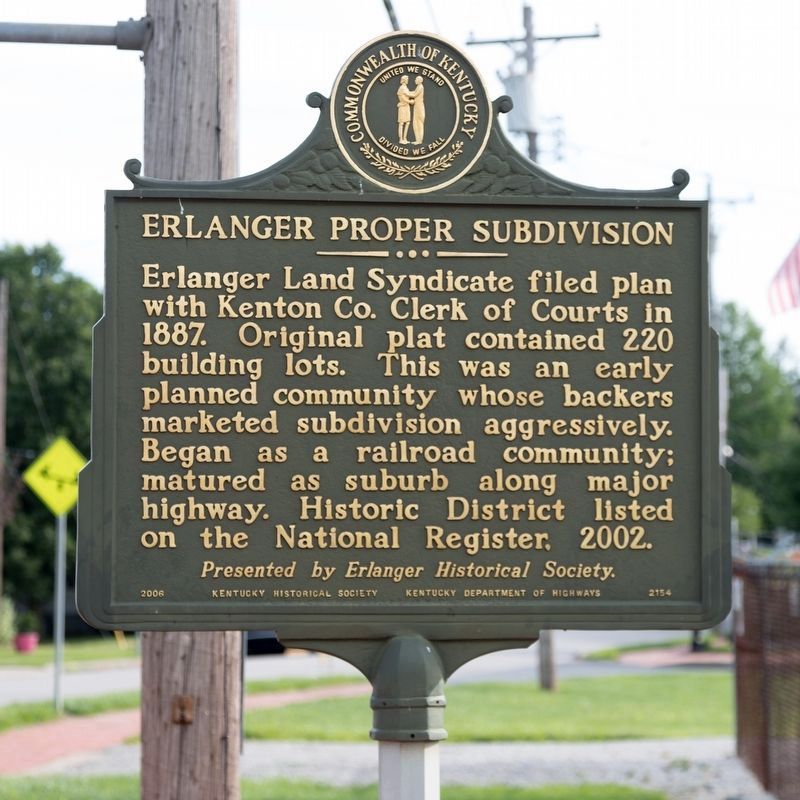
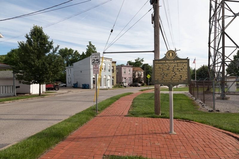
Erlanger Proper Subdivision. Erlanger Land Syndicate filed plan with Kenton Co. Clerk of Courts in 1887. Original plat contained 220 building lots. This was an early planned community whose backers marketed subdivision aggressively. Began as a railroad community; matured as suburb along major highway. Historic District listed on the National Register, 2002.
Erected 2006 by Kentucky Historical Society and Kentucky Department of Highways. Presented by Erlanger Historical Society. (Marker Number 2154.)
Topics and series. This historical marker is listed in these topic lists: Notable Places • Political Subdivisions • Railroads & Streetcars. In addition, it is included in the Kentucky Historical Society series list. A significant historical year for this entry is 1877.
Location. 39° 1.075′ N, 84° 35.95′ W. Marker is in Erlanger, Kentucky, in Kenton County. Marker is on Crescent Avenue north of Erlanger Road and Dixie Highway (U.S. 42), on the right when traveling north. Touch for map. Marker is at or near this postal address: 3319 Crescent Ave, Erlanger KY 41018, United States of America. Touch for directions.
Other nearby markers. At least 8 other markers are within 3 miles of this marker, measured as the crow flies. Erlanger Depot (within shouting distance of this marker); Timberlake (approx. 0.2 miles away); John Uri Lloyd (1849-1936) / Stringtown on the Pike (approx. 1.6 miles away); Dr. Gladys Rouse House (approx. 1.7 miles away); First Baptist African American Church, Florence (approx. 1.9 miles away); Skirmish at Florence (approx. 2 miles away); Clinton Blankenbeker House (approx. 2.3 miles away); Sgt. Ronald L. Niewahner (approx. 2.7 miles away). Touch for a list and map of all markers in Erlanger.
More about this marker. This 2006 marker replaced a 2004 marker that broke off its post. The old marker has been bolted to the wall of the depot and has its own entry in this database.
Also see . . . Erlanger Historical Society. “... With the end of the War, the Northern Communities were looking for a way to enter the Southern Markets. When the Cincinnati Chamber of Commerce began discussions of a Railroad into the area, they were reviving an earlier plan from the 1830’s. Louisville was strongly opposed to the route through the central portion of the state as this would pull southern commerce away from their city. The developers of the Southern Railroad set Chattanooga as the southern terminus. Many cities set proposals as to the location of the rails. Early on the cities of [Erlanger] and Florence began to set a strategy as to how they could attract the rails into their communities. ... ” (Submitted on June 30, 2019.)
Credits. This page was last revised on June 30, 2019. It was originally submitted on June 30, 2019, by J. J. Prats of Powell, Ohio. This page has been viewed 238 times since then and 27 times this year. Photos: 1, 2, 3, 4. submitted on June 30, 2019, by J. J. Prats of Powell, Ohio.


