Elk in Warren County, Pennsylvania — The American Northeast (Mid-Atlantic)
Gyantwahia
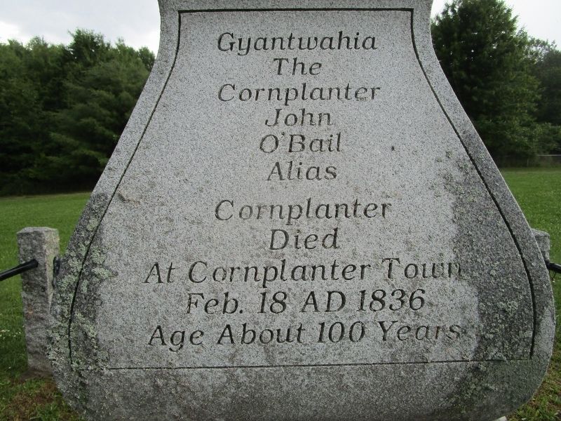
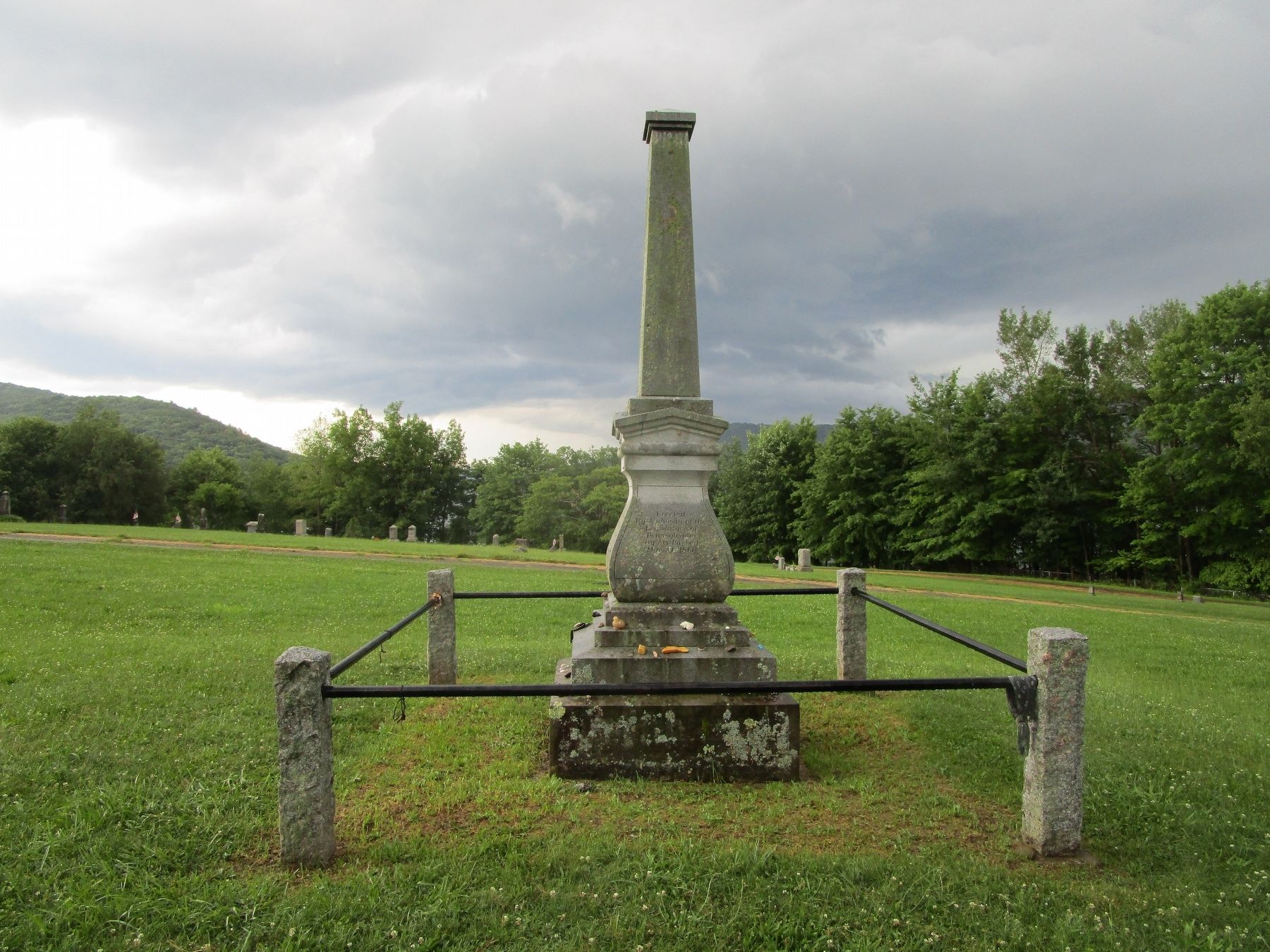
[south side] Gyantwahia, The Cornplanter John O’Bail, alias Cornplanter, died at Cornplanter Town, Feb. 18 AD 1836, age about 100 years
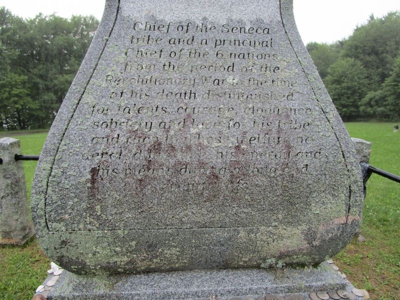
[east side] Chief of the Seneca tribe and a principal Chief of the 6 nations from the period of the Revolutionary War to the time of his death, distinguished for talents, courage, eloquence, sobriety and love for his tribe and race to whose welfare he devoted his time, his energy and his means during a long and eventful life.
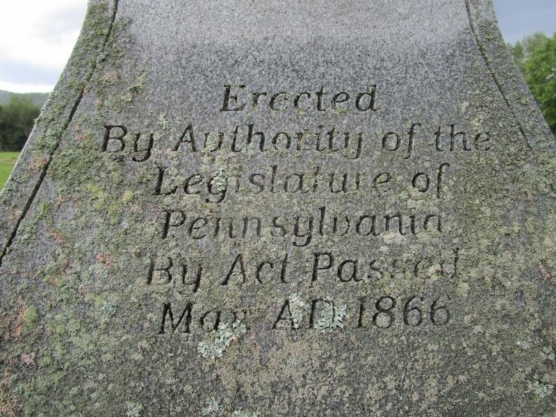
[north side] Erected by authority of the Legislature of Pennsylvania by acts passed May AD 1866
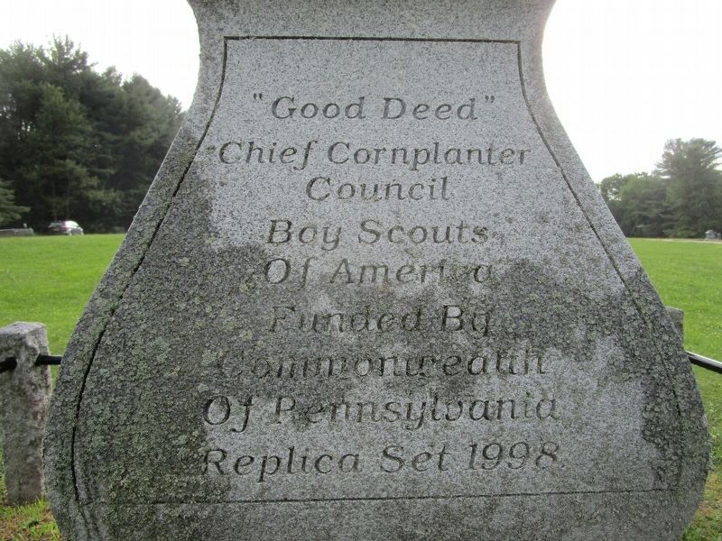
[west side] “Good Deed” Chief Cornplanter Council, Boy Scouts of America. Funded by Commonwealth of Pennsylvania. Replica set 1998.
Erected 1998 by Boy Scouts and Commonwealth of Pennsylvania.
Topics. This historical marker is listed in these topic lists: Cemeteries & Burial Sites • Native Americans • War, French and Indian • War, US Revolutionary. A significant historical date for this entry is February 18, 1836.
Location. 41° 59.772′ N, 78° 56.515′ W. Marker is in Elk, Pennsylvania, in Warren County. Marker can be reached from East Bank Perimeter Rd, New York State Route 280,, 0.2 miles north of the Pennsylvania state boundary. Touch for map. Marker is in this post office area: Russell PA 16345, United States of America. Touch for directions.
Other nearby markers. At least 8 other markers are within 12 miles of this marker, measured as the crow flies. Roll of Honor (about 300 feet away, measured in a direct line); Allegany State Park's Fancher Cabin (approx. 6.7 miles away in New York); Allegany State Park's Oldest Cabin (approx. 6.9 miles away in New York); The Tornado / Forest Succession (approx. 7.2 miles away in New York); The School in the Forest (approx. 9 miles away in New York); Seneca Crossing (approx. 9.6 miles away); The Allegheny River Watershed (approx. 11.3 miles away); Kinzua Dam (approx. 11.4 miles away).
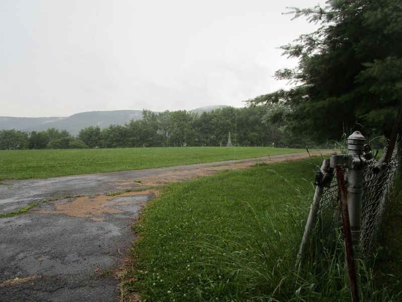
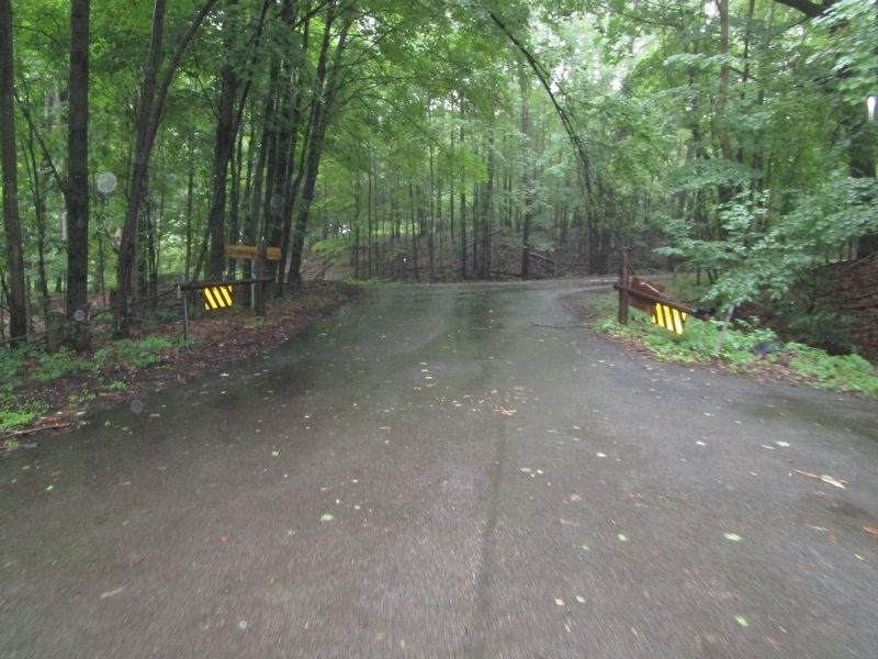
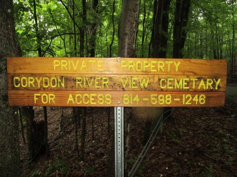
More about this marker. The monument is in Cornplanter Cemetery, which is one of three cemeteries grouped together: Cornplanter at the northwest, Corydon at the northeast, and Riverview across the south. The cemeteries are on the north side of the entrance to Willow Bay from the Allegheny Reservoir. Access is via a gated driveway from NY route 280, about 0.2 miles north of the Pennsylvania state boundary line. The driveway to the cemeteries is about 0.2 miles long, winding at the beginning, and crosses the state line. From I-86, take exit 18 for NY route 280. Avoid entering Allegany State Park by turning right and continuing on NY 280 after passing Quaker Lake.
Also see . . .
1. Cornplanter - Wikipedia. Cornplanter requested that he have no grave marker. The Commonwealth of Pennsylvania commissioned one in 1866, thought to be the first monument to a native. The graves in this cemetery have been relocated due to the erection of the Kinzua Dam which created the Allegheny Reservoir. This current monument is a replica. (Submitted on July 6, 2019, by Anton Schwarzmueller of Wilson, New York.)
2. Onöhsagwë:de’ Cultural Center. I would like to thank the hosts of the Onöhsagwë:de’ Cultural Center on July 5th 2019 for providing directions to the monument. (Submitted on July 6, 2019, by Anton Schwarzmueller of Wilson, New York.)
Credits. This page was last revised on July 20, 2019. It was originally submitted on July 6, 2019, by Anton Schwarzmueller of Wilson, New York. This page has been viewed 464 times since then and 46 times this year. Photos: 1, 2, 3, 4, 5, 6, 7, 8, 9. submitted on July 6, 2019, by Anton Schwarzmueller of Wilson, New York.
