East Donegal Township near Columbia in Lancaster County, Pennsylvania — The American Northeast (Mid-Atlantic)
Hiestand Saw Mill and Dam
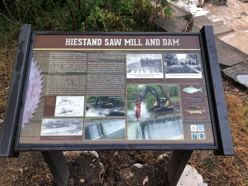
From the colonial times through the early 1900s, water-powered mills were a backbone of industry in the United States. The lower Susquehanna Valley was a popular location for the construction of saw mills. Large timber rafts were floated downriver from the woodlands to the north. These rafts transported cargo along the river, but the rafts were also a commodity. Made of white pine timbers, sometimes 200 feet in length, the rafts could be disassembled for building the masts of large sailing ships in Philadelphia and Baltimore.
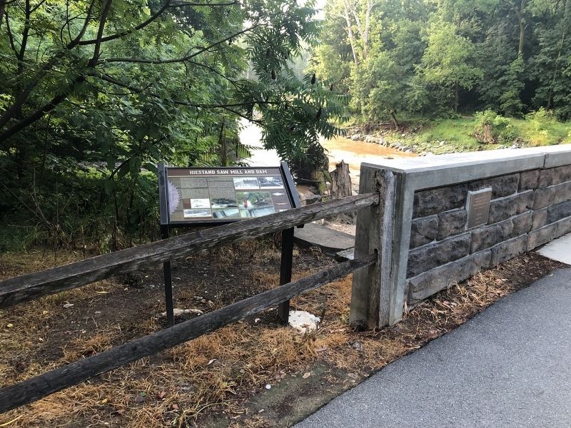
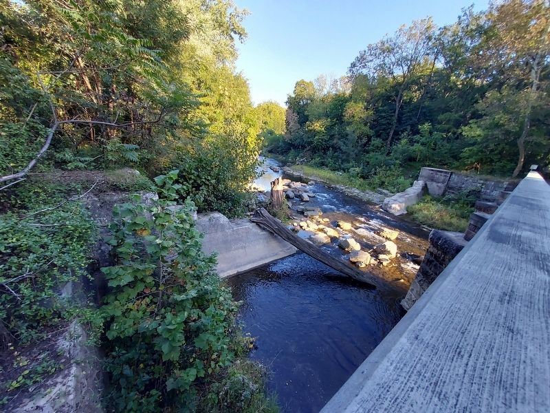
Just upstream from the pedestrian bridge you can see the remnants of a dam that once served one of these saw mills. The B. F. Hiestand & Sons Lumber Company operated mills in the Marietta from the mid-1800s until their business closed in 1942. The concrete dam, whose remnants you now see, was built in 1902 and most likely replaced a wooden dam built in the same location. The dam was used to divert water from the Chiques Creek into a tailrace to turn the mill's water wheel, which in turn powered the large saw needed to cut the massive timbers. The tailrace can still be seen under the northern end of the bridge and indicates that the mill was located in close proximity to where this panel is today.
Having been unused for more than 70 years and after an extensive study, the Hiestand Saw Mill Dam was ranked in the top 5% of dams prioritized for removal in the Chesapeake Bay Watershed. In 2015, the dam was removed through a cooperative effort of American Rivers, Columbia Water Company and the Pennsylvania Fish & Boat Commission. Removal of the dam reconnects more than 13 miles of streams from migratory fish — including American Shad and American Eel — as well as resident species like Smallmouth Bass. In addition, dismantling of the dam restores a free-flowing river, improves habitat conditions, and encourages the natural movement and processing of sediment and nutrients. Finally, additional recreational opportunities such as kayaking and tubing are now available on the Chiques Creek and a public safety hazard has been eliminated with the removal of the dam.
Erected by American Rivers; Columbia Water Company; Lancaster County Department of Parks and Recreation; Pennsylvania Fish & Boat Commission.
Topics. This historical marker is listed in these topic lists: Environment • Industry & Commerce • Waterways & Vessels. A significant historical year for this entry is 1902.
Location. 40° 3.324′ N, 76° 31.603′ W. Marker is near Columbia, Pennsylvania, in Lancaster County. It is in East Donegal Township. Marker is on River Road, on the left when traveling south. Located on the western
Other nearby markers. At least 8 other markers are within walking distance of this marker. Chickies* Mansion and Chickies* #1 Furnace (*Chickies - also Chiques or Chikis) (about 700 feet away, measured in a direct line); Eagle / Chickies No. 2 Furnace (approx. 0.2 miles away); A Buried Story (approx. half a mile away); Musselman / Vesta Furnace (approx. half a mile away); Frick Stationary Steam Engine (approx. half a mile away); Hot-Blast Stove Bases (approx. half a mile away); Stone Base of the Chimney (approx. half a mile away); Concrete Railroad Piers (approx. half a mile away).
Credits. This page was last revised on January 4, 2024. It was originally submitted on July 7, 2019, by Devry Becker Jones of Washington, District of Columbia. This page has been viewed 1,022 times since then and 52 times this year. Last updated on October 13, 2023, by Annette Fillmore of York, Pennsylvania. Photos: 1, 2. submitted on July 7, 2019, by Devry Becker Jones of Washington, District of Columbia. 3. submitted on October 13, 2023, by Annette Fillmore of York, Pennsylvania. • Bill Pfingsten was the editor who published this page.


