Near Marietta in Lancaster County, Pennsylvania — The American Northeast (Mid-Atlantic)
A Buried Story
Lancaster-York Heritage Region
— Susquehanna River Water Trail —
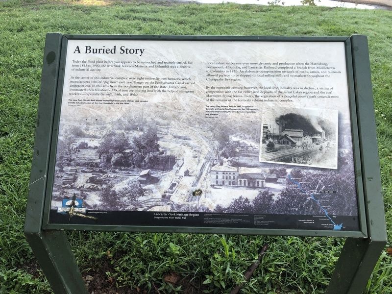
At the center of this industrial complex were eight anthracite iron furnaces, which manufactured tons of "pig iron" each year. Barges on the Pennsylvania Canal carried anthracite coal to this area from the northeastern part of the state. Enterprising ironmasters then transformed local iron ore into pig iron with the help of immigrant workers — especially German, Irish, and Welsh.
Local industries became even more dynamic and productive when the Harrisburg, Portsmouth, Mountjoy, and Lancaster Railroad completed a branch from Middletown to Columbia in 1850. An elaborate transportation network of roads, canals, and railroads allowed pig iron to be shipped to local rolling mills and to markets throughout the Chesapeake Bay region.
By the twentieth century, however, the local iron industry was in decline, a victim of competition with the far richer iron deposits of the Great Lakes region and the coal of western Pennsylvania. Today, the vegetation of a peaceful county park conceals most of the remains of the formerly vibrant industrial complex.
Erected by Chesapeake Bay Gateways Network.
Topics. This historical marker is listed in these topic lists: Industry & Commerce • Railroads & Streetcars • Waterways & Vessels. A significant historical year for this entry is 1845.
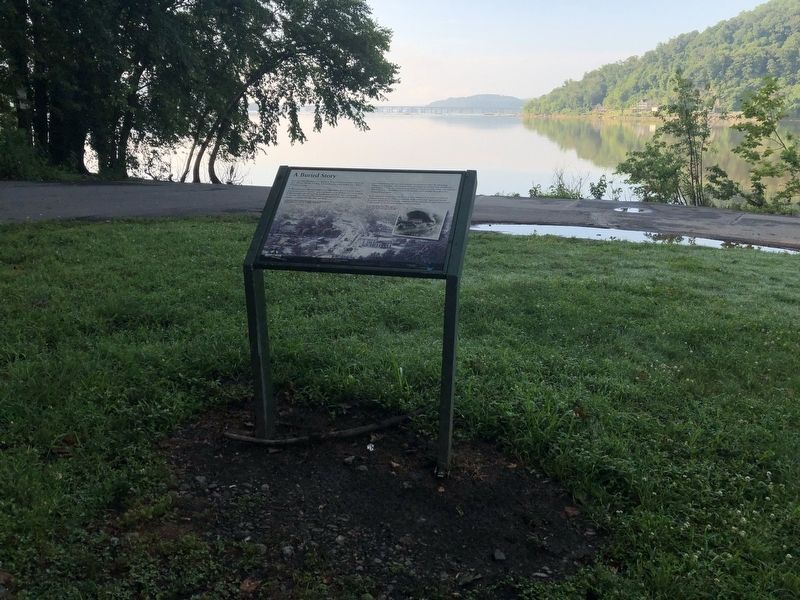
Location. 40° 3.423′ N, 76° 32.143′ W. Marker is near Marietta, Pennsylvania, in Lancaster County. Marker is on Robert K Mowrer Drive south of Furnace Road, on the left when traveling south. Touch for map. Marker is at or near this postal address: 1 Robert K Mowrer Drive, Marietta PA 17547, United States of America. Touch for directions.
Other nearby markers. At least 8 other markers are within walking distance of this marker. Stone Base of the Chimney (about 500 feet away, measured in a direct line); Hot-Blast Stove Bases (about 500 feet away); Skip Hoist / Oil Shed (about 600 feet away); The Pennsylvania Canal (about 600 feet away); Concrete Railroad Piers (about 600 feet away); Frick Stationary Steam Engine (about 600 feet away); Musselman / Vesta Furnace (about 700 feet away); Donegal Place (about 700 feet away). Touch for a list and map of all markers in Marietta.
Credits. This page was last revised on July 8, 2019. It was originally submitted on July 8, 2019, by Devry Becker Jones of Washington, District of Columbia. This page has been viewed 314 times since then and 17 times this year. Photos: 1, 2. submitted on July 8, 2019, by Devry Becker Jones of Washington, District of Columbia.

