Protor in Rutland County, Vermont — The American Northeast (New England)
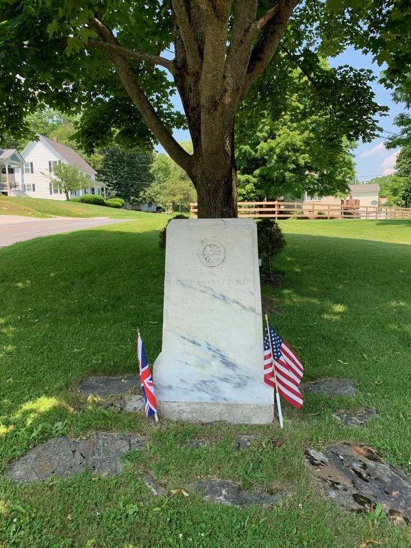
Crown Point Road
Erected 1912 by Ann Story Chapter D.A.R.
Topics and series. This historical marker is listed in these topic lists: Roads & Vehicles • War, French and Indian. In addition, it is included in the Daughters of the American Revolution series list. A significant historical year for this entry is 1759.
Location. 43° 39.55′ N, 73° 2.612′ W. Marker is in Protor, Vermont, in Rutland County. Marker is at the intersection of Cross Street and West Street, on the right when traveling south on Cross Street. Touch for map. Marker is in this post office area: Proctor VT 05765, United States of America. Touch for directions.
Other nearby markers. At least 8 other markers are within 5 miles of this marker, measured as the crow flies. Proctor (VT) War Memorial (approx. 0.4 miles away); Vermont Marble Company (approx. half a mile away); Otter Creek (approx. half a mile away); John Sunderland (approx. 0.6 miles away); Pittsford's Iron Industry (approx. 3.4 miles away); The Vermont Sanatorium (approx. 4 miles away); Mead's Falls (approx. 4.1 miles away); Center Rutland Depot (approx. 4.1 miles away).
Regarding Crown Point Road. This was a major road built to supply British forces at Crown Point (and Fort Ticonderoga) from the Connecticut River during the French and Indian War. It became very important after the war by allowing access to Vermont to New England settlers.
Also see . . .
1. Crown Point Road Historical Marker Guide. Compiled by the Crown Point Road Association. 2011 Edition (Submitted on July 11, 2019, by Steve Stoessel of Niskayuna, New York.)
2. Crown Point Road. (Submitted on July 11, 2019, by Steve Stoessel of Niskayuna, New York.)
Credits. This page was last revised on July 15, 2019. It was originally submitted on July 11, 2019, by Steve Stoessel of Niskayuna, New York. This page has been viewed 238 times since then and 29 times this year. Photo 1. submitted on July 11, 2019, by Steve Stoessel of Niskayuna, New York. • Bill Pfingsten was the editor who published this page.
