Navy Yard in Southeast Washington in Washington, District of Columbia — The American Northeast (Mid-Atlantic)
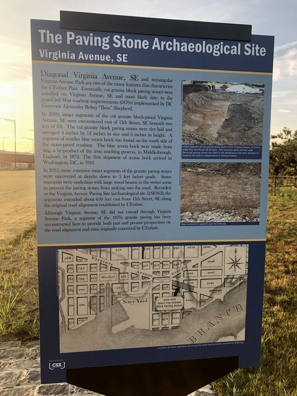
The Paving Stone Archaeological Site / The L'Enfant Plan
Virginia Avenue, SE

Photographed By Devry Becker Jones (CC0), July 12, 2019
1. The Paving Stone Archaeological Site Marker
In 2009, intact segments of the cut granite block-paved Virginia Avenue, SE were encountered east of 11th Street, SE beneath two feet of fill. The cut granite block paving stones were dry laid and averaged 4 inches by 12 inches in size and 6 inches in height. A segment of smaller blue scoria brick was found on the south side of the stone-paved roadwday. The blue scoria brick were made from slag, a by-product of the iron melting process, in Middlesbrough, England in 1872. The first shimpement of scoria brick arrived in Washington, DC, in 1910.
In 2015, more extensive intact segments of the granite paving stones were uncovered at depths down to 5 feet below grade. Some segments were underlain with large wood beams in the wetter areas to prevent the paving stones from sinking into the mud. Recorded as the Virginia Avenue Paving Site (archaeological site 51SE062), the segments extended about 650 feet cast from 11th STreet, SE along the original road alignment established by L'Enfant.
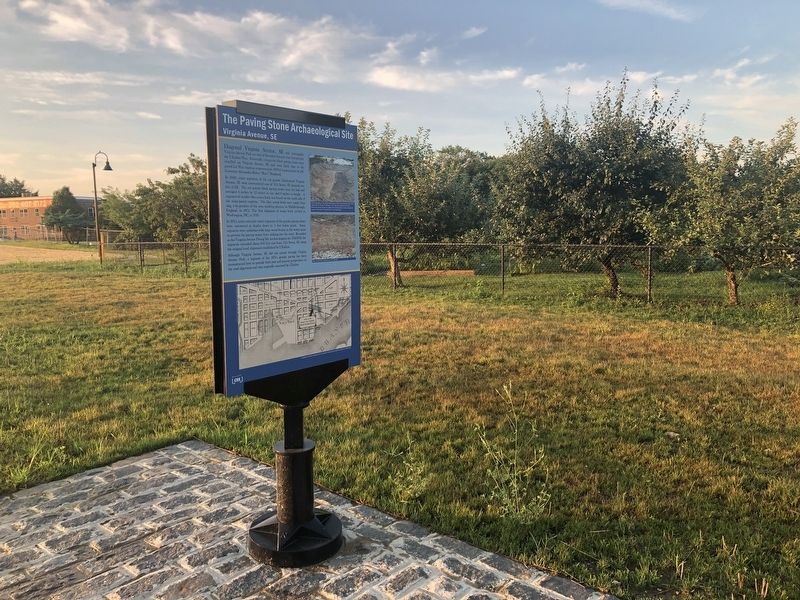
Although Virginia Avenue, SE did not extend through Virginia Avenue Park, a segment of the 1870s granite paving has been reconstructed here to provide both past and present perspectives on road alignment and vista originally conceived by L'Enfant.
[Reverse]
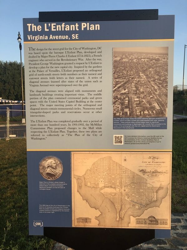
The L'Enfant Plan
Virginia Avenue, SE
The design for the street grid for the City of Washington, DC was based upon the baroque L'Enfant Plan, developed and drafted by Major Pierre Charles L'Enfant (1754-1825), a French engineer who served in the Revolutionary War. After the war, President George Washington granted a request by L'Enfant to develop a plan for the new capital city. Inspired by the gardens at the Palace of Versailles, L'Enfant proposed an orthogonal grid of north-south streets (with numbers as their names) and east-west streets (with letters as their names). A series of diagonal avenues (named after states of the union such as Virginia Avenue) were superimposed over the grid.
The diagonal avenues were aligned with monuments and landmark buildings creating important vistas. The middle portion of the plan contained ceremonial parks and green spaces with the United States Capitol Building at the center point. The major meeting points of the orthogonal and diagonal streets contain monumental circles. Numerous small
The L'Enfant Plan was completed gradually over a period of more than one hundred years. In 1901-1902, the McMillan Commission Plan proposed changes to the Mall while respecting the L'Enfant Plan. Together these two plans are referred to collectively as "The Plan of the City of Washington."
Erected by The CSX Corporation.
Topics. This historical marker is listed in these topic lists: Government & Politics • Parks & Recreational Areas • Roads & Vehicles • Settlements & Settlers. A significant historical year for this entry is 2009.
Location. 38° 52.672′ N, 76° 59.616′ W. Marker is in Southeast Washington in Washington, District of Columbia. It is in Navy Yard. Marker is at the intersection of 9th Street Southeast and Virginia Avenue Southeast, on the right when traveling north on 9th Street Southeast. Touch for map. Marker is at or near this postal address: 1098 9th Street Southeast, Washington DC 20003, United States of America. Touch for directions.
Other nearby markers. At least 8 other markers are within walking distance of this marker. William Prout: Community Builder (about 400 feet away, measured in a direct line); Washington Navy Yard: Serving the Fleet (about 500 feet away); Functioning as the Navy's First Research and Development Center (about 500 feet away); Receiving Honored Servicemembers and Dignitaries

Photographed By Devry Becker Jones (CC0), July 12, 2019
3. The Paving Stone Archaeological Site Marker
Credits. This page was last revised on January 30, 2023. It was originally submitted on July 12, 2019, by Devry Becker Jones of Washington, District of Columbia. This page has been viewed 206 times since then and 16 times this year. Photos: 1, 2, 3. submitted on July 12, 2019, by Devry Becker Jones of Washington, District of Columbia.
