Gray Hawk in Jackson County, Kentucky — The American South (East South Central)
Warrior's Path
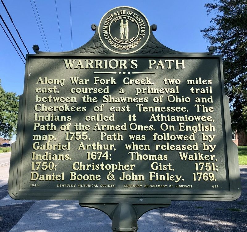
Along War Fork Creek, two miles east, coursed a primeval trail between the Shawnees of Ohio and Cherokees of east Tennessee. The Indians called it Athiamiowee, Path of the Armed Ones. On English map, 1755. Path was followed by Gabriel Arthur, when released by Indians, 1674; Thomas Walker, 1750; Christopher Gist, 1751; Daniel Boone and John Finley, 1769.
Erected 1964 by Kentucky Historical Society, Kentucky Department of Highways. (Marker Number 697.)
Topics and series. This historical marker is listed in these topic lists: Colonial Era • Native Americans • Roads & Vehicles • Waterways & Vessels. In addition, it is included in the Kentucky Historical Society series list. A significant historical year for this entry is 1755.
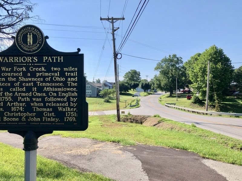
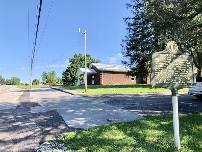
Location. 37° 23.587′ N, 83° 56.21′ W. Marker is in Gray Hawk, Kentucky, in Jackson County. Marker is on U.S. 421 north of Kelley Road, on the right. Touch for map. Marker is in this post office area: Gray Hawk KY 40434, United States of America. Touch for directions.
Other nearby markers. At least 4 other markers are within 15 miles of this marker, measured as the crow flies. County Named, 1858 (approx. 4.2 miles away); Daniel Boone's Trail (approx. 13.8 miles away); Company A of the 7th Ky Infantry Regiment (approx. 14˝ miles away); Hazel Patch (approx. 14˝ miles away).
Also see . . . Warrior's Path. Explore Kentucky History website entry (Submitted on July 16, 2019, by Mark Hilton of Montgomery, Alabama.)
Credits. This page was last revised on April 11, 2024. It was originally submitted on July 13, 2019, by Mark Hilton of Montgomery, Alabama. This page has been viewed 410 times since then and 27 times this year. Photos: 1, 2, 3. submitted on July 13, 2019, by Mark Hilton of Montgomery, Alabama.


