Near Louisa in Lawrence County, Kentucky — The American South (East South Central)
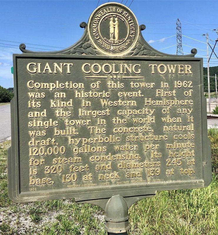
Giant Cooling Tower
Erected 1965 by Kentucky Historical Society, Kentucky Department of Highways. (Marker Number 887.)
Topics and series. This historical marker is listed in these topic lists: Industry & Commerce • Notable Places. In addition, it is included in the Kentucky Historical Society series list. A significant historical year for this entry is 1962.
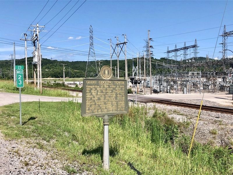
Location. 38° 10.38′ N, 82° 37.25′ W. Marker is near Louisa, Kentucky, in Lawrence County. Marker is on U.S. 23, 1.4 miles north of State Route 3398, on the right when traveling north. Located at Big Sandy Station, AEP Kentucky Power. Touch for map. Marker is in this post office area: Louisa KY 41230, United States of America. Touch for directions.
Other nearby markers. At least 8 other markers are within 5 miles of this marker, measured as the crow flies. Vancouver’s Fort (approx. 4.1 miles away); Louisa in Civil War (approx. 4.1 miles away); Old Floyd County / Lawrence County Revolutionary War Memorial (approx. 4.1 miles away); Lawrence County Veterans Memorial (approx. 4.1 miles away); County Named, 1821 (approx. 4.1 miles away); Frederick M. Vinson (approx. 4.1 miles away); The First United Methodist Church (approx. 4.1 miles away); Fort Gay (approx. 4.1 miles away in West Virginia). Touch for a list and map of all markers in Louisa.

Photographed By Mark Hilton, July 13, 2019
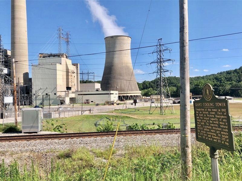
2. View of Giant Cooling Tower and marker.
The Big Sandy plant demolished a second, 370-foot-tall tower, that was part of Unit 2, which had started operating in 1969. The tower cooled 248,000 gallons of water a minute from the Big Sandy River to use in the process of generating electricity.
Kentucky Power, a unit of American Electric Power, shut down Unit 2 in May 2015 in order to comply with tougher emissions rules aimed at improving air quality.
It continues to use this companion cooling tower at Unit 1. Kentucky Power converted that unit to use natural gas, which burns more cleanly than coal.
Credits. This page was last revised on July 13, 2019. It was originally submitted on July 13, 2019, by Mark Hilton of Montgomery, Alabama. This page has been viewed 649 times since then and 56 times this year. Photos: 1, 2, 3. submitted on July 13, 2019, by Mark Hilton of Montgomery, Alabama.

