Albany in Clinton County, Kentucky — The American South (East South Central)
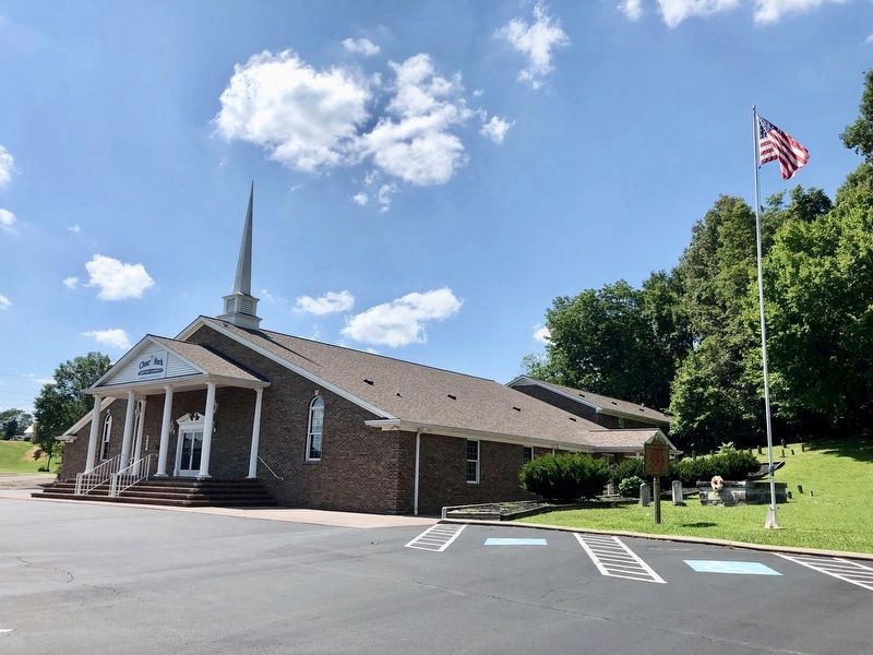
Clear Fork Baptist Church
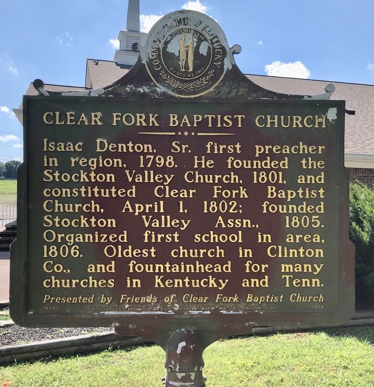
Front
Isaac Denton, Sr., first preacher in region, 1798. He founded the Stockton Valley Church, 1801, and constituted Clear Fork Baptist Church, April 1, 1802; founded Stockton Valley Assn., 1805. Organized first school in area, 1806. Oldest church in Clinton Co., and fountainhead for many churches in Kentucky and Tenn.
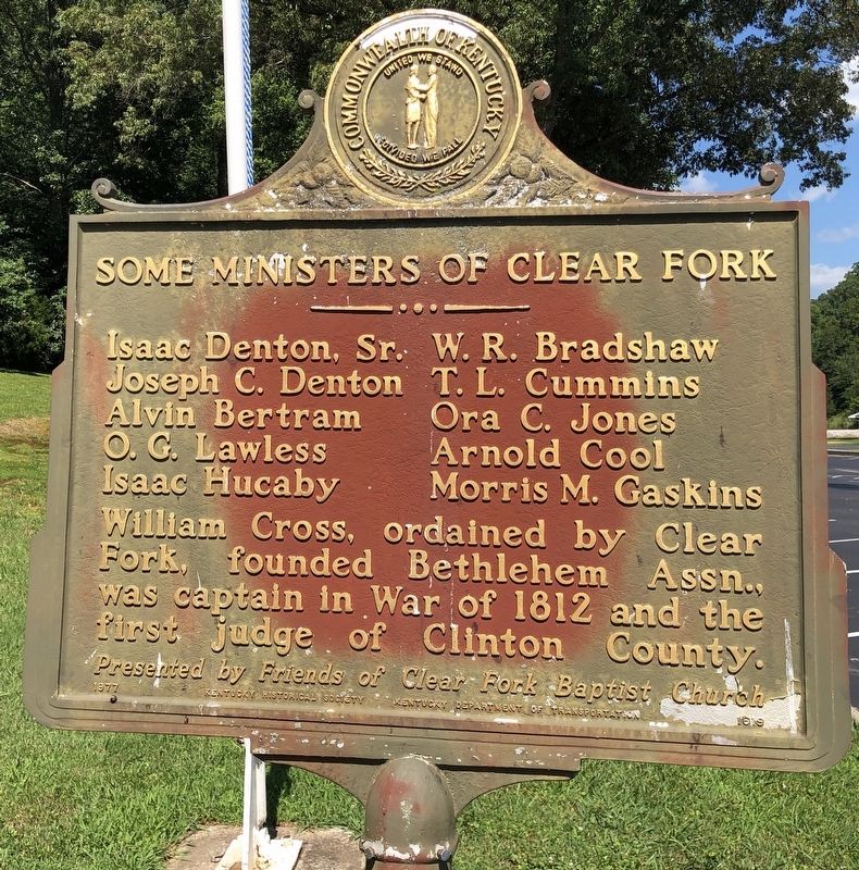
Reverse
Some Ministers of Clear Fork
Isaac Denton, Sr. • W. R. Bradshaw
Joseph C. Denton • T. L. Cummins
Alvin Bertram • Ora C. Jones
O. G. Lawless • Arnold Cool
Isaac Hucaby • Morris M. Gaskins
William Cross, ordained by Clear Fork, founded Bethlehem Assn., was captain in War of 1812 and the first judge of Clinton County.
Erected 1977 by Kentucky Historical Society, Kentucky Department of Highways. (Marker Number 1619.)
Topics and series. This historical marker is listed in these topic lists: Churches & Religion • Settlements & Settlers. In addition, it is included in the Kentucky Historical Society series list. A significant historical date for this entry is April 1, 1802.
Location. 36° 40.502′ N, 85° 7.559′ W. Marker is in Albany, Kentucky, in Clinton County. Marker can be reached from Clear Fork Road, 0.1 miles east of County Road 1150K, on the left when traveling east. Touch for map. Marker is at or near this postal address: 427 Clear Fork Road, Albany KY 42602, United States of America. Touch for directions.
Other nearby markers. At least 8 other markers are within 8 miles of this marker, measured as the crow flies. Pioneer Settler (approx. 1.2 miles away); Courthouse Burned (approx. 1.2 miles away); County Named, 1835 (approx. 1.2 miles away); Civil War Terrorist (approx. 1.2 miles away); The Burning of Hale's Mill (approx. 4.9 miles away in Tennessee); Bible Mission School / Bible Mission School and Orphanage (approx. 6.4 miles away); Sen. Ed P. Warinner / Seventy-Six Falls (approx. 7.1 miles away); Cordell Hull (approx. 7.7 miles away in Tennessee). Touch for a list and map of all markers in Albany.
Also see . . . Kentucky Historical Society on the Clear Fork Baptist Church. (Submitted on July 16, 2019, by Mark Hilton of Montgomery, Alabama.)
Credits. This page was last revised on November 19, 2019. It was originally submitted on July 16, 2019, by Mark Hilton of Montgomery, Alabama. This page has been viewed 246 times since then and 35 times this year. Photos: 1, 2, 3. submitted on July 16, 2019, by Mark Hilton of Montgomery, Alabama.


