Shelbyville in Shelby County, Kentucky — The American South (East South Central)
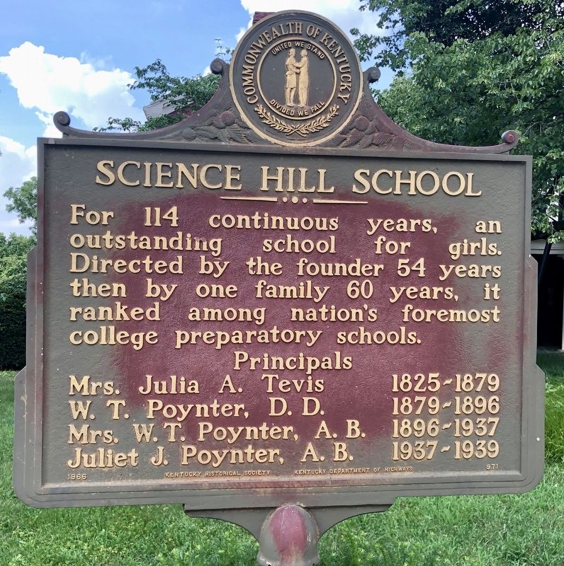
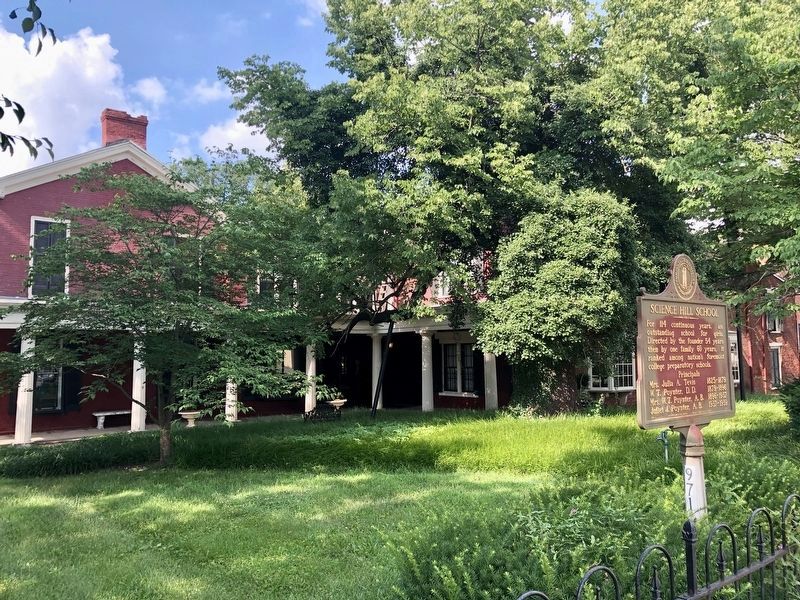
Science Hill School
Mrs. Julia A. Tevis 1825-1879
W. T. Poynter, D.D. 1879-1896
Mrs. W. T. Poynter, A.B. 1896-1937
Juliet J. Poynter, A.B. 1937-1939
Erected 1966 by Kentucky Historical Society, Kentucky Department of Highways. (Marker Number 971.)
Topics and series. This historical marker is listed in these topic lists: Education • Women. In addition, it is included in the Kentucky Historical Society series list.
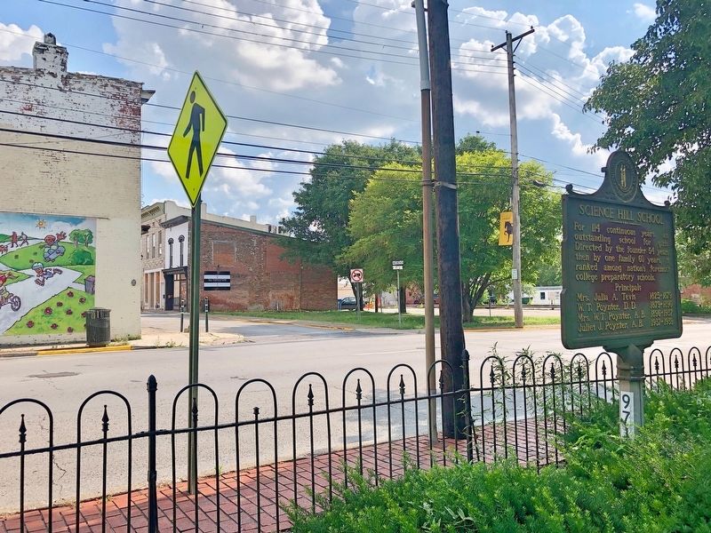
Location. 38° 12.715′ N, 85° 13.027′ W. Marker is in Shelbyville, Kentucky, in Shelby County. Marker is at the intersection of Washington Street (Business Kentucky Route 55) and 6th Street, on the right when traveling west on Washington Street. Touch for map. Marker is at or near this postal address: 525 Washington Street, Shelbyville KY 40065, United States of America. Touch for directions.
Other nearby markers. At least 8 other markers are within walking distance of this marker. Tevis Cottage (within shouting distance of this marker); The Armstrong Hotel (about 300 feet away, measured in a direct line); Lynching in Shelbyville (about 400 feet away); Lynching in America / Lynching of Sam Pulliam (about 400 feet away); Reconstruction in America / Lynching of Reuben Dennis (about 400 feet away); Lewis and Clark in Kentucky 1806 Return of Expedition / Death of Meriwether Lewis (about 400 feet away); Shelby County, 1792 (about 500 feet away); The Blockhouse / Martin's Raid (about 500 feet away). Touch for a list and map of all markers in Shelbyville.
Credits. This page was last revised on July 24, 2019. It was originally submitted on July 18, 2019, by Mark Hilton of Montgomery, Alabama. This page has been viewed 274 times since then and 31 times this year. Photos: 1, 2, 3. submitted on July 18, 2019, by Mark Hilton of Montgomery, Alabama.


