Near Waddy in Shelby County, Kentucky — The American South (East South Central)
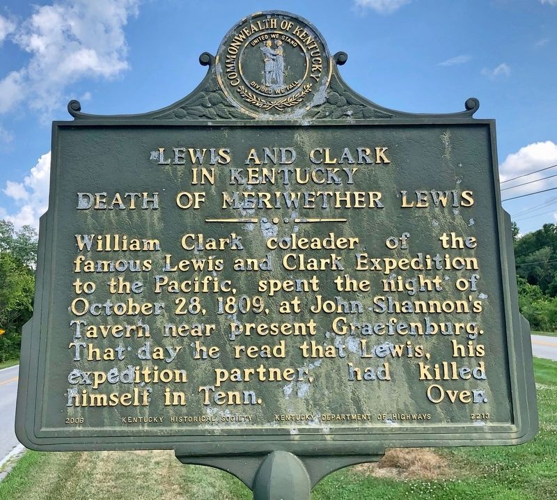
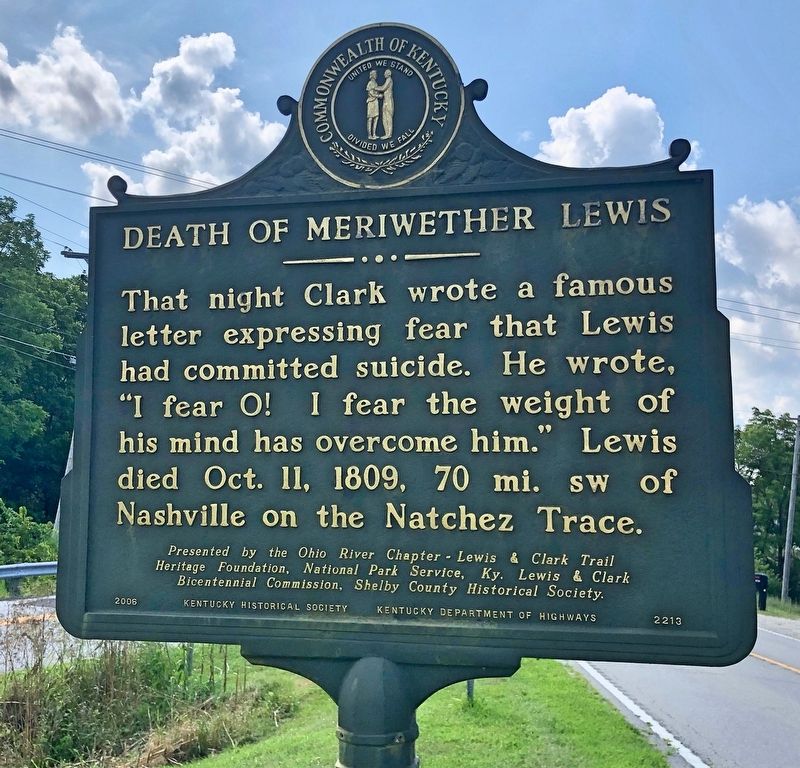
Lewis and Clark in Kentucky / Death of Meriwether Lewis
Heritage Foundation, National Park Service, Ky. Lewis & Clark
Bicentennial Commission, Shelby County Historical Society.
Erected by Kentucky Historical Society, Kentucky Department of Highways. (Marker Number 2213.)
Topics and series. This historical marker is listed in these topic lists: Communications • Exploration. In addition, it is included in the Kentucky Historical Society, and the Lewis & Clark Expedition series lists. A significant historical date for this entry is October 28, 1809.
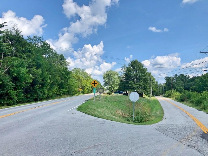
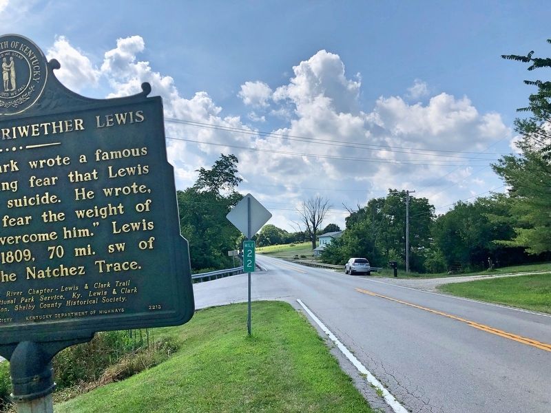
Location. 38° 9.901′ N, 85° 1.35′ W. Marker is near Waddy, Kentucky, in Shelby County. Marker is at the intersection of Frankfort Road (U.S. 60) and Graefenburg Road (State Route 1472), on the right when traveling east on Frankfort Road. Touch for map. Marker is at or near this postal address: 10725 Frankfort Road, Waddy KY 40076, United States of America. Touch for directions.
Other nearby markers. At least 8 other markers are within 8 miles of this marker, measured as the crow flies. History of Memorial Project (approx. 7.1 miles away); Daniel Boone (approx. 7.1 miles away); Lewis and Clark in Kentucky — Kentucky Militia (approx. 7.1 miles away); "Fight as Kentuckians" (approx. 7.1 miles away); a different marker also named "Fight as Kentuckians" (approx. 7.2 miles away); a different marker also named "Fight as Kentuckians" (approx. 7.2 miles away); Kentucky National Guard Memorial (approx. 7.2 miles away); a different marker also named "Fight as Kentuckians" (approx. 7.2 miles away).
Also see . . . Lewis and Clark in Kentucky. Website homepage (Submitted on July 19, 2019, by Mark Hilton of Montgomery, Alabama.)
Credits. This page was last revised on January 8, 2022. It was originally submitted on July 19, 2019, by Mark Hilton of Montgomery, Alabama. This page has been viewed 359 times since then and 50 times this year. Photos: 1, 2, 3, 4. submitted on July 19, 2019, by Mark Hilton of Montgomery, Alabama.


