Fort Recovery in Mercer County, Ohio — The American Midwest (Great Lakes)
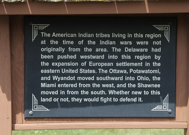
American Indian Tribes
at the time of the Indian wars were not
originally from the area. The Delaware had
been pushed westward into this region by
the expansion of European settlement in the
eastern United States. The Ottawa, Potawatomi,
and Wyandot moved southward into Ohio, the
Miami entered from the west, and the Shawnee
moved in from the south. Whether new to this
land or not, they would fight to defend it.
Topics. This historical marker is listed in these topic lists: Native Americans • Settlements & Settlers • Wars, US Indian.
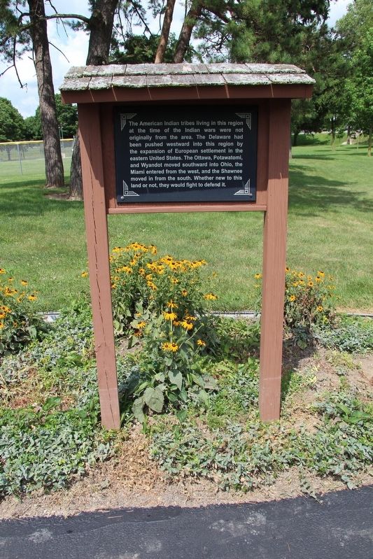
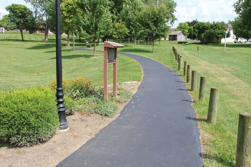
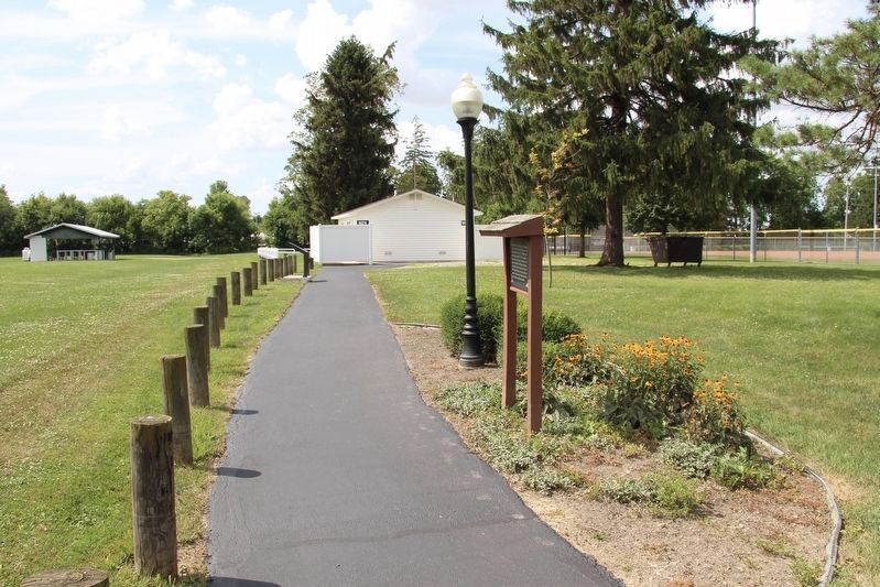
Location. 40° 24.857′ N, 84° 46.912′ W. Marker is in Fort Recovery, Ohio, in Mercer County. Marker is on Fort Site Street south of West Boundary Street, on the right when traveling south. This marker is located along the "Fort Recovery Battlefield Walking Tour." More specifically, it is situated along the walking path that is found behind the Fort Recovery Museum, in the park that is part of the state historic site. Touch for map. Marker is at or near this postal address: 1 Fort Site Street, Fort Recovery OH 45846, United States of America. Touch for directions.
Other nearby markers. At least 8 other markers are within walking distance of this marker. The Battlefield (here, next to this marker); On Christmas Day 1793 (within shouting distance of this marker); The Battle of Fort Recovery (within shouting distance of this marker); On This Triangle of Land (within shouting distance of this marker); The Old Wabash River (within shouting distance of this marker); The Wabash (Ouabache) River (within shouting distance of this marker); Native Cultures (within shouting distance of this marker); Battle of the Wabash (about 300 feet away, measured in a direct line). Touch for a list and map of all markers in Fort Recovery.
Credits. This page was last revised on August 1, 2019. It was originally submitted on July 20, 2019, by Dale K. Benington of Toledo, Ohio. This page has been viewed 191 times since then and 14 times this year. Photos: 1, 2, 3, 4. submitted on July 20, 2019, by Dale K. Benington of Toledo, Ohio.


