Lexington in Fayette County, Kentucky — The American South (East South Central)
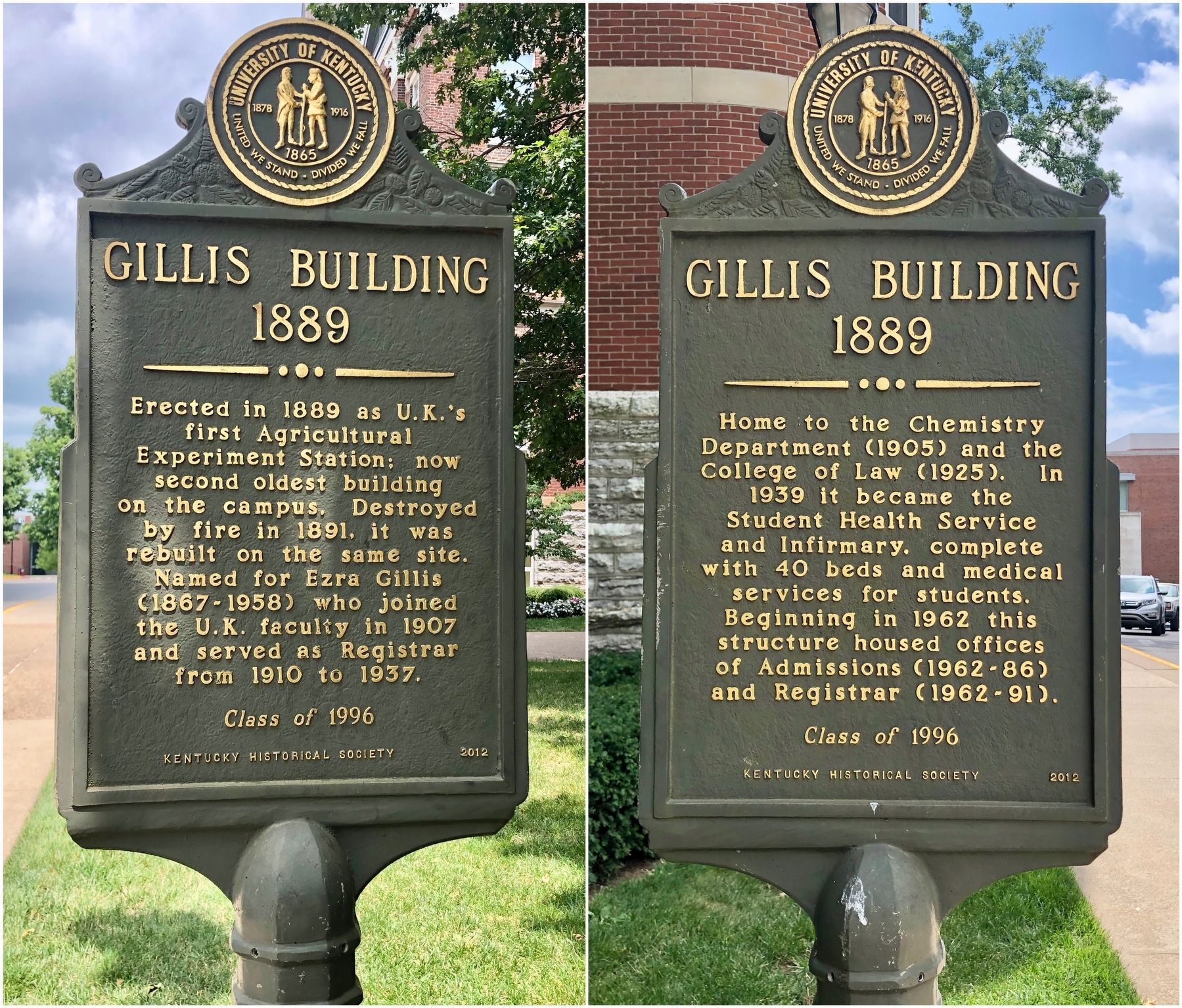
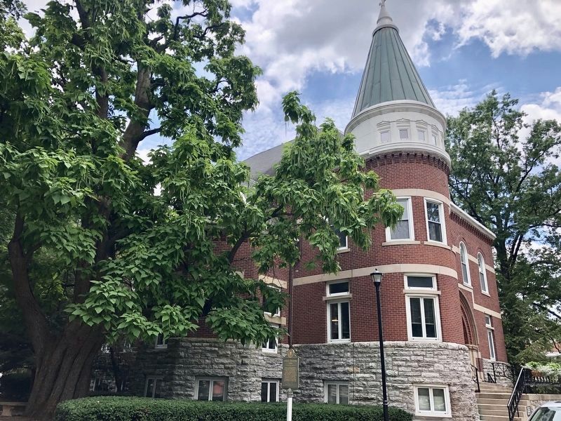
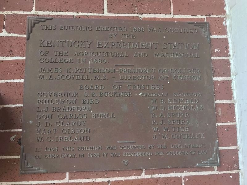
Gillis Building 1889
(Reverse)
Home to the Chemistry Department (1905) and the College of Law (1925). In 1939 it became the Student Health Service and Infirmary, complete with 40 beds and medical services for students. Beginning in 1962 this structure housed offices of Admissions (1962-86) and Registrar (1962-91).
Erected 1996 by University of Kentucky, Kentucky Historical Society. (Marker Number 2012.)
Topics and series. This historical marker is listed in these topic lists: Agriculture • Education • Science & Medicine. In addition, it is included in the Kentucky Historical Society series list. A significant historical year for this entry is 1889.
Location. 38° 2.324′ N, 84° 30.322′ W. Marker is in Lexington, Kentucky, in Fayette County. Marker is on Administration Drive north of South Limestone (U.S. 27), on the right when traveling north. Located on the Campus of the University of Kentucky. Touch for map. Marker is at or near this postal address: 502 Administration Drive, Lexington KY 40506, United States of America. Touch for directions.
Other nearby markers. At least 8 other markers are within walking distance of this marker. Main Building (within shouting distance of this marker); Thomas D. Clark (within shouting distance of this marker); Barker Hall and Buell Armory (about 300 feet away, measured in a direct line); What's in a Name? (about 600 feet away); Kentucky Kernel (approx. 0.2 miles away); WBKY/WUKY (approx. 0.2 miles away); Margaret Isadora King / Margaret I. King Library (approx. 0.2 miles away); Stoll Field / McLean Stadium (approx. 0.2 miles away). Touch for a list and map of all markers in Lexington.
More about this marker. This marker was entirely funded by student donations as part of the University of Kentucky (UK) Student Development Council (SDC). Each year, by tradition, each graduating class of UK shares a piece of UK and Kentucky history through this marker program. The SDC has raised more than $110,000 for the marker program and student scholarships as part of the Live Blue Legacy Program.
Also see . . . Kentucky Historical Society on the Gillis Building. (Submitted on July 21, 2019, by Mark Hilton of Montgomery, Alabama.)
Credits. This page was last revised on April 1, 2021. It was originally submitted on July 21, 2019, by Mark Hilton of Montgomery, Alabama. This page has been viewed 258 times since then and 24 times this year. Photos: 1, 2. submitted on July 21, 2019, by Mark Hilton of Montgomery, Alabama. 3. submitted on April 1, 2021, by Duane and Tracy Marsteller of Murfreesboro, Tennessee.


