Lexington in Fayette County, Kentucky — The American South (East South Central)
What's in a Name?
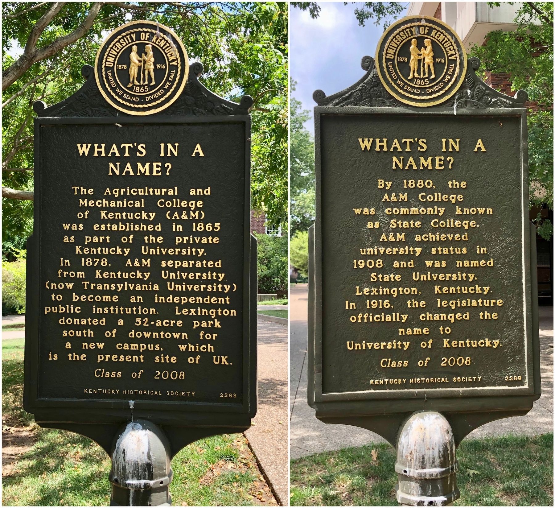
By 1880, the A&M College was commonly known as State College. A&M achieved university status in 1908 and was named State University, Lexington, Kentucky. In 1916, the legislature officially changed the name to University of Kentucky.
Erected 2008 by University of Kentucky, Kentucky Historical Society. (Marker Number 2289.)
Topics and series. This historical marker is listed in this topic list: Education. In addition, it is included in the Kentucky Historical Society series list. A significant historical year for this entry is 1865.
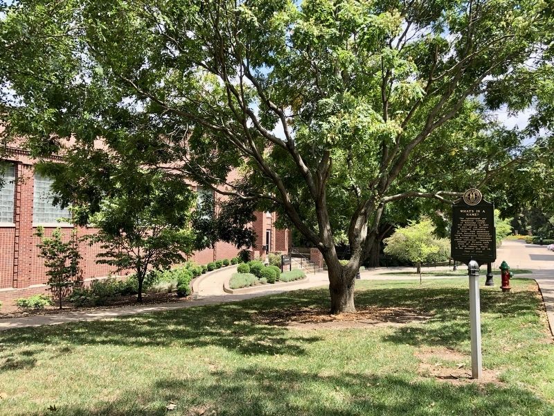
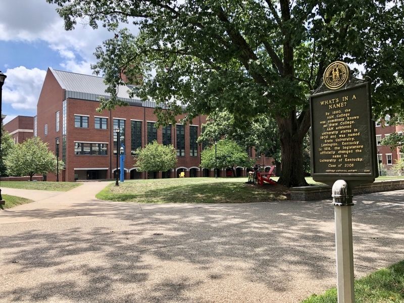
Location. 38° 2.254′ N, 84° 30.225′ W. Marker is in Lexington, Kentucky, in Fayette County. Marker can be reached from Patterson Drive. Located on the Campus of the University of Kentucky near Lafferty Hall. Touch for map. Marker is at or near this postal address: 150 Patterson Drive, Lexington KY 40506, United States of America. Touch for directions.
Other nearby markers. At least 8 other markers are within walking distance of this marker. Margaret Isadora King / Margaret I. King Library (about 300 feet away, measured in a direct line); Maxwell Place (about 400 feet away); Kentucky Kernel (about 400 feet away); Stoll Field / McLean Stadium (about 500 feet away); WBKY/WUKY (about 500 feet away); Thomas D. Clark (about 600 feet away); Barker Hall and Buell Armory (about 600 feet away); Gillis Building 1889 (about 600 feet away). Touch for a list and map of all markers in Lexington.
More about this marker. This marker was entirely funded by student donations as part of the University of Kentucky (UK) Student Development Council (SDC). Each year, by tradition, each graduating class of UK shares a piece of UK and Kentucky history through this marker program. The SDC has raised more than $110,000 for the marker program and student scholarships as part of the Live Blue Legacy Program.
Also see . . . Kentucky Historical Society on the What's in a Name? Marker. (Submitted on July 21, 2019, by Mark Hilton of Montgomery, Alabama.)
Credits. This page was last revised on July 22, 2019. It was originally submitted on July 21, 2019, by Mark Hilton of Montgomery, Alabama. This page has been viewed 193 times since then and 11 times this year. Photos: 1, 2, 3. submitted on July 21, 2019, by Mark Hilton of Montgomery, Alabama.


