Lexington in Fayette County, Kentucky — The American South (East South Central)
Maxwell Place
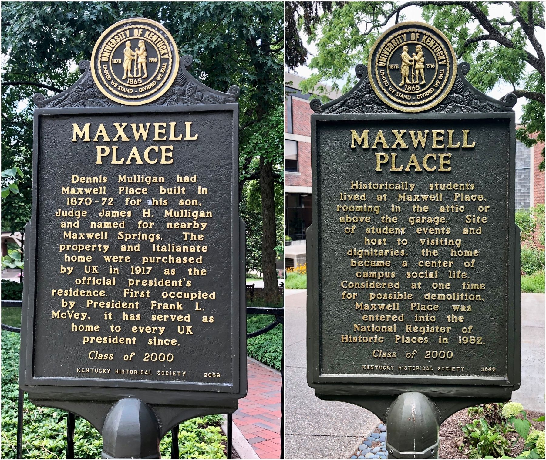
Historically students lived at Maxwell Place, rooming in the attic or above the garage. Site of student events and host to visiting dignitaries, the home became a center of campus social life. Considered at one time for possible demolition, Maxwell Place was entered into the National Register of Historic Places in 1982.
Erected 2000 by University of Kentucky, Kentucky Historical Society. (Marker Number 2069.)
Topics and series. This historical marker is listed in these topic lists: Education • Notable Buildings. In addition, it is included in the Kentucky Historical Society series list. A significant historical year for this entry is 1917.
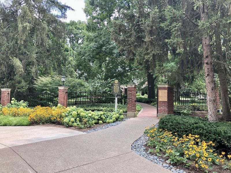
Location. 38° 2.204′ N, 84° 30.175′ W. Marker is in Lexington, Kentucky, in Fayette County. Marker can be reached from Rose Street. Located on the Campus of the University of Kentucky just south of the M.I. King Library. Touch for map. Marker is at or near this postal address: 471 Rose Street, Lexington KY 40506, United States of America. Touch for directions.
Other nearby markers. At least 8 other markers are within walking distance of this marker. Margaret Isadora King / Margaret I. King Library (within shouting distance of this marker); What's in a Name? (about 400 feet away, measured in a direct line); Kentucky Kernel (about 500 feet away); Stoll Field / McLean Stadium (about 600 feet away); WBKY/WUKY (about 600 feet away); Thomas D. Clark (approx. 0.2 miles away); Barker Hall and Buell Armory (approx. 0.2 miles away); Gillis Building 1889 (approx. 0.2 miles away). Touch for a list and map of all markers in Lexington.
More about this marker. This marker was entirely funded by student donations as part of the University of Kentucky (UK) Student Development Council (SDC). Each year, by tradition, each graduating class of UK shares a piece of UK and Kentucky history through this marker program. The SDC has raised more than $110,000 for the marker program and student scholarships as part of the Live Blue Legacy Program.
Credits. This page was last revised on July 22, 2019. It was originally submitted on July 21, 2019, by Mark Hilton of Montgomery, Alabama. This page has been viewed 434 times since then and 48 times this year. Photos: 1, 2, 3. submitted on July 21, 2019, by Mark Hilton of Montgomery, Alabama.


