Cashel in County Tipperary, Munster, Ireland — Irish South-West ((Éire) North Atlantic Ocean)
Tobar Mhuire / Ladyswell
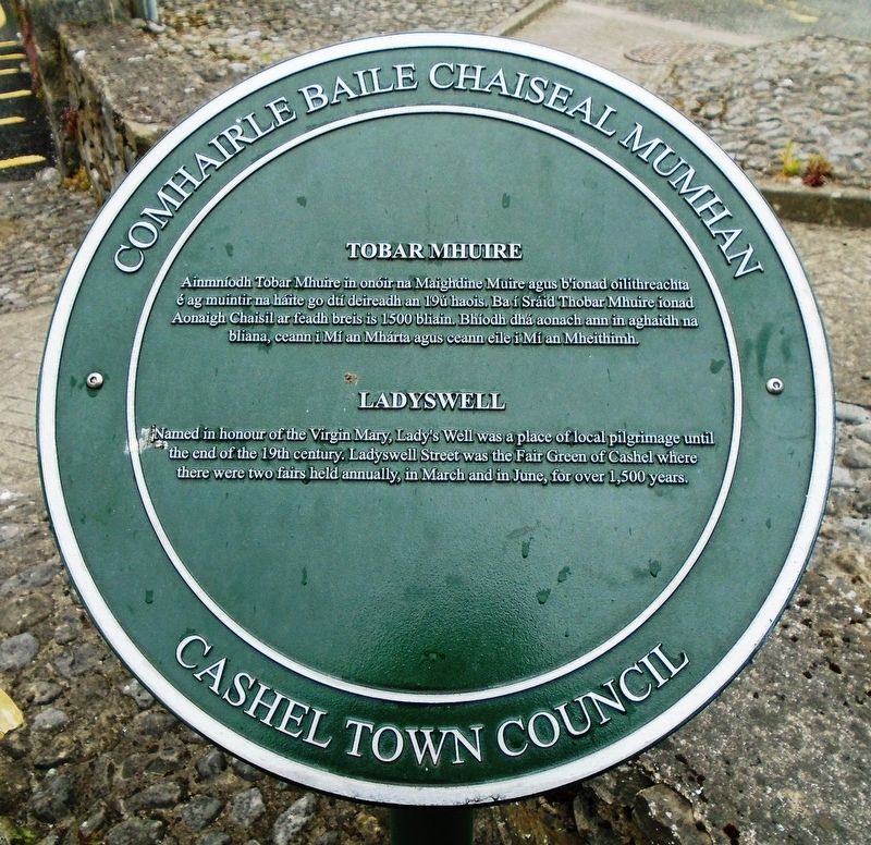
Tobar Mhuire
Ainmníodh Tobar Mhuire in onóir na Maighdine Muire agus b'ionad oilithreachta é ag muintir na háite go dtí deireadh an 19ú haois. Ba í Sráid Thobar Mhuire ionad Aonaigh Chaisil ar feadh breis is 1500 bliain. Bhíodh dhá aonach ann in aghaidh na bliana, ceann i Mí an Mhárta agus ceann eile i Mí an Mheithimh.
————————————
Ladyswell
Named in honour of the Virgin Mary, Lady's Well was a place of local pilgrimage until the end of the 19th century. Ladyswell Street was the Fair Green of Cashel where there were two fairs held annually, in March and in June, for over 1,500 years.
Erected by Comhairle Baile Chaiseal Mumhan / Cashel Town Council.
Topics. This historical marker is listed in these topic lists: Churches & Religion • Environment • Settlements & Settlers. A significant historical year for this entry is 1500.
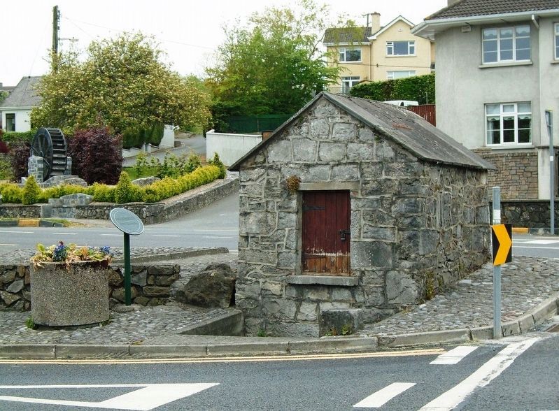
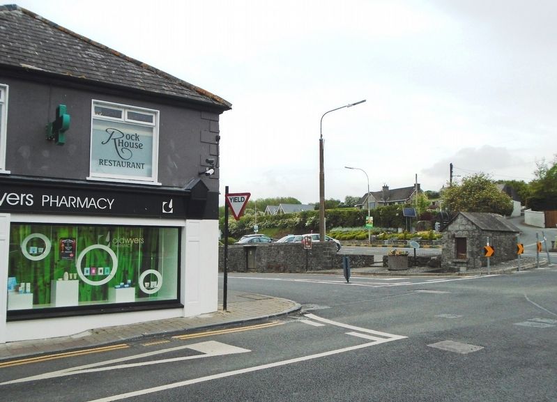
Location. 52° 31.206′ N, 7° 53.204′ W. Marker is in Cashel, Munster, in County Tipperary. Marker is at the intersection of The Kiln (Munster Route R660) and Ladysmith Street (Munster Route R639), on the right when traveling north on The Kiln. Marker and Well House are just north of the Ladysmith Street Roundabout. Touch for map. Marker is in this post office area: Cashel, Munster E25 FR59, Ireland. Touch for directions.
Other nearby markers. At least 3 other markers are within walking distance of this marker. Falla an Ghorta Mhóir/An tArdán - The Famine Wall/The Terrace (within shouting distance of this marker); Carraig Phádraig / St. Patrick's Rock (about 210 meters away, measured in a direct line); An Scairdeán / The Fountain (approx. 0.6 kilometers away).
Also see . . . Cashel, Ireland. (Submitted on July 22, 2019, by William Fischer, Jr. of Scranton, Pennsylvania.)
Credits. This page was last revised on July 22, 2019. It was originally submitted on July 22, 2019, by William Fischer, Jr. of Scranton, Pennsylvania. This page has been viewed 100 times since then and 4 times this year. Photos: 1, 2, 3. submitted on July 22, 2019, by William Fischer, Jr. of Scranton, Pennsylvania.


