Mill Springs in Wayne County, Kentucky — The American South (East South Central)
The Cumberland River
Mill Springs Battlefield
— National Historic Landmark —
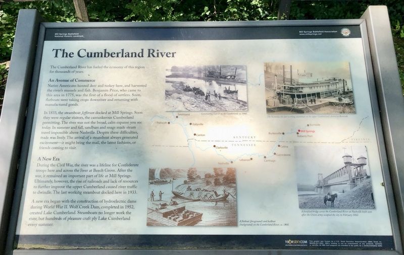
The Cumberland River has fueled the economy of this region for thousands of years.
An Avenue of Commerce
Native Americans hunted deer and turkey here, and harvested the river's mussels and fish. Benjamin Price, who came to this area in 1775, was the first of a flood of settlers. Soon, flatboats were taking crops downriver and returning with manufactured goods.
In 1833, the steamboat Jefferson docked at Mill Springs. Soon they were regular visitors, the cantankerous Cumberland permitting. The river was not the broad, calm expanse you see today. In summer and fall, sandbars and snags made steam travel impossible above Nashville. Despite these difficulties, trade was lively. The arrival of a steamboat always generated excitement—it might bring the mail, the latest fashions, or friends coming to visit.
A New Era
During the Civil War, the river was a lifeline for Confederate troops here and across the fiver at Beech Grove. After the war, it remained an important part of life at Mill Springs. Ultimately, however, the rise of railroads and lack of resources to further improve the upper Cumberland caused river traffic to dwindle. The last working steamboat docked here in 1933.
A new era began with the construction of hydroelectric dams during World War II. Wolf Creek Dam, completed in 1952, created Lake Cumberland. Steamboats no longer work the river, but hundreds of pleasure craft ply Lake Cumberland every summer.
Erected 2014 by Mill Springs Battlefield Association.
Topics and series. This historical marker is listed in these topic lists: Native Americans • Settlements & Settlers • War, US Civil • Waterways & Vessels. In addition, it is included in the National Historic Landmarks series list. A significant historical year for this entry is 1775.
Location. 36° 55.994′ N, 84° 46.75′ W. Marker is in Mill Springs, Kentucky, in Wayne County. Marker can be reached from the intersection of Kentucky Route 1275 and Old Mill Springs Road, on the right when traveling west. Touch for map. Marker is at or near this postal address: 9155 KY-1275, Monticello KY 42633, United States of America. Touch for directions.
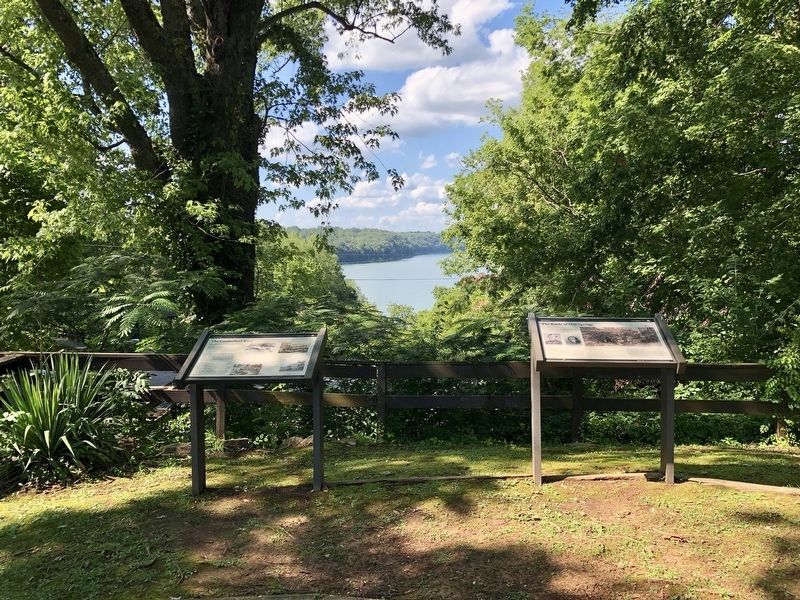
Other nearby markers. At least 8 other markers are within 2 miles of this marker, measured as the crow flies. The Battle of Mill Springs (here, next to this marker); Mill Springs and the Civil War (within shouting distance of this marker); Home, Headquarters, Hospital (within shouting distance of this marker); Mill Springs (about 500 feet away, measured in a direct line); The Noble Ellis Saves an Army (approx. 0.7 miles away); The West-Metcalfe House
(approx. 1.1 miles away); a different marker also named West-Metcalfe House (approx. 1.1 miles away); Price's Meadow (approx. 1.3 miles away). Touch for a list and map of all markers in Mill Springs.
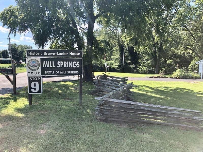
More about this marker. Warning: this Tour Stop is some 23 miles from the Mill Springs Battlefield Visitors Center near Nancy, KY, which is the beginning location for eight of the Tour Stops. It is some 33 miles from Tour Stop #8, which is right across the Cumberland River on the north side from here.
Also see . . . Battle of Mill Springs. Wikipedia entry (Submitted on July 23, 2019, by Mark Hilton of Montgomery, Alabama.)
Credits. This page was last revised on October 29, 2022. It was originally submitted on July 23, 2019, by Mark Hilton of Montgomery, Alabama. This page has been viewed 280 times since then and 30 times this year. Photos: 1, 2, 3. submitted on July 23, 2019, by Mark Hilton of Montgomery, Alabama.


