Near Plattsburgh in Clinton County, New York — The American Northeast (Mid-Atlantic)
Fort Izard
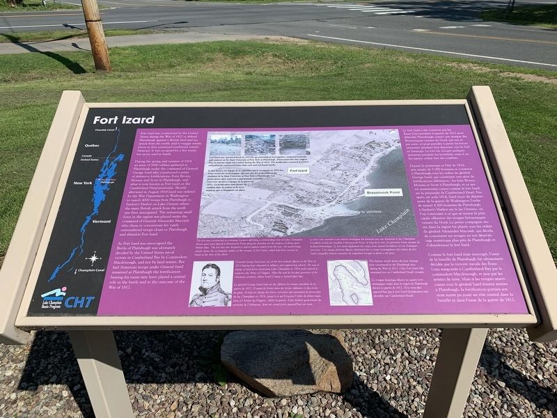
Fort Izard was constructed by the United States during the War of 1812 to defend Plattsburgh against a British land and sea attack from the north, and to engage the enemy forces as they journeyed southward toward Saratoga. It was occupied for a few weeks but never used in battle.
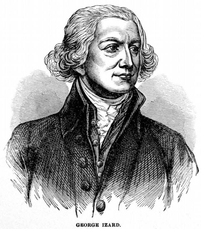
During the Spring and summer of 1814, an army of 5000 soldiers gathered in Plattsburgh under the command of General George Izard who constructed a series of defensive fortifications: Forts Brown, Moreau, and Scott in Plattsburgh, and what is now known as Fort Izard on the Cumberland Head peninsula. Shortly afterward in August 1814, Izard was ordered by the War Department in Washington to march 4000 troops from Plattsburgh to Sackett’s Harbor on Lake Ontario where the main British attack from the north was then anticipated. The remaining small force in the region was placed under the command of General Alexander Macomb who chose to concentrate his vastly outnumbered troops closer to Plattsburgh and abandoned Fort Izard.
As Fort Izard was unoccupied, the Battle of Plattsburgh was ultimately decided by the United States naval victory in Cumberland Bay by Commodore Macdonough, and not by land armies. But had American troops under General Izard remained at Plattsburgh the fortification bearing his name may have played a central role in the battle and in the outcome of the War of 1812.
Le fort Izard a été construit par les États-Unis pendant la guerre de 1812 pour défendre Plattsburgh contre une attaque des Britanniques venant du Nord, par eau et par terre, et pour prendre à partie forces ennemies pendant leur descente vers le Sud et Saratoga. Le fort fut occupé quelques semaines pendant les hostilités, mais il ne fut jamais utilisé lors des combats.
Durant le printemps et à l'été de 1814, une armée de 5 000 hommes se constitua à Plattsburgh sous les ordres du général George Izard, qui construisit une série de fortifications défensives: forts Brown, Moreau et Scott à Plattsburgh, et ce qui est maintenant connu comme le fort Izard dans sur la péninsule de Cumberland Head. Peu après, en août 1814, le département de la guerre de Washington l’ordre de mener 4000 hommes de Plattsburgh a Sackett’s Harbor sur le lac Ontario, où l’on s’attendait à ce que se tienne la principale offensive des troupes britannique du Nord. La petite compagnie restée dans force restante la région fut placée sous les ordres du général Alexander Macomb qui décida de concentrer ses troupes en net désavantage numérique plus pries de Plattsburgh et abandonner le Fort Izard.
Comme le Fort Izard était inoccupé, l’issue de la bataille de Plattsburgh fut ultimement décidée par la victoire navale des États-Unis à Cumberland Bay par le commodore Macdonough, et non par les armées de terre. Mais si les troupes américaines commandées par le général Izard étaient restées à Plattsburgh, la fortification portant son nom aurait pu jouer un rôle central dans la bataille et dans l’issue de la guerre de 1812.
Topics. This historical marker is listed in these topic lists: Forts and Castles • War of 1812. A significant historical month for this entry is March 1812.
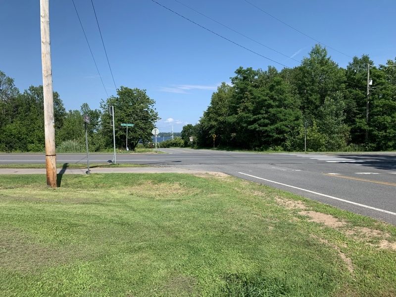
Location. 44° 41.904′ N, 73° 23.03′ W. Marker is near Plattsburgh, New York, in Clinton County. Marker is at the intersection of Commodore Theodore Macdonough Highway (New York State Route 314) and Cumberland Head Road, on the right when traveling east on Commodore Theodore Macdonough Highway. Touch for map. Marker is in this post office area: Plattsburgh NY 12901, United States of America. Touch for directions.
Other nearby markers. At least 8 other markers are within 3 miles of this marker, measured as the crow flies. Addoms - Hagar Burial Ground (about 700 feet away, measured in a direct line); Woolsey Mansion (approx. 0.3 miles away); John Addoms (approx. 0.3 miles away); Macdonough Farm (approx. ¾ mile away); A Gift for a Hero (approx. 0.9 miles away); Zephaniah Platt Home (approx. 3.1 miles away); Battle of Plattsburgh Bay (approx. 3.1 miles away); Fort Scott (approx. 3.1 miles away). Touch for a list and map of all markers in Plattsburgh.
Related marker. Click here
for another marker that is related to this marker. General Izard's march is noted on the Old State Road marker.
Credits. This page was last revised on January 15, 2021. It was originally submitted on July 24, 2019, by Steve Stoessel of Niskayuna, New York. This page has been viewed 624 times since then and 88 times this year. Photos: 1, 2. submitted on July 24, 2019, by Steve Stoessel of Niskayuna, New York. 3. submitted on January 15, 2021, by Allen C. Browne of Silver Spring, Maryland. 4. submitted on July 24, 2019, by Steve Stoessel of Niskayuna, New York. • Bill Pfingsten was the editor who published this page.


