Near Nancy in Pulaski County, Kentucky — The American South (East South Central)
The Last Stand
Mill Springs Battlefield
— National Historic Landmark —
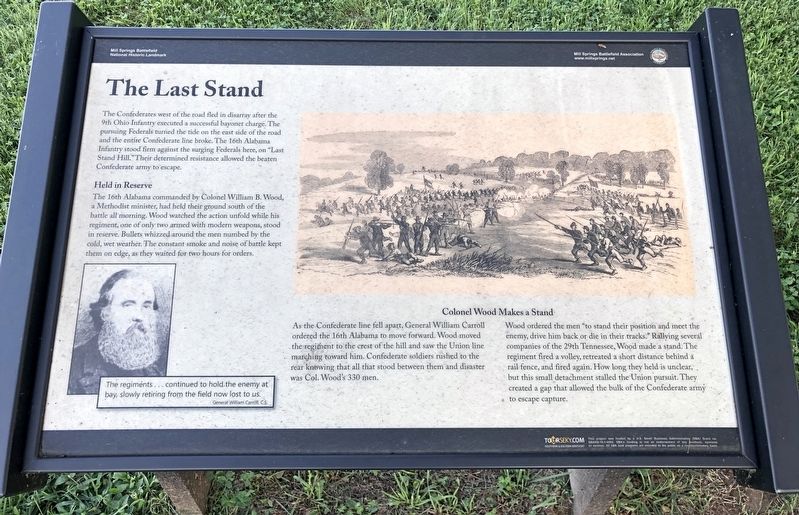
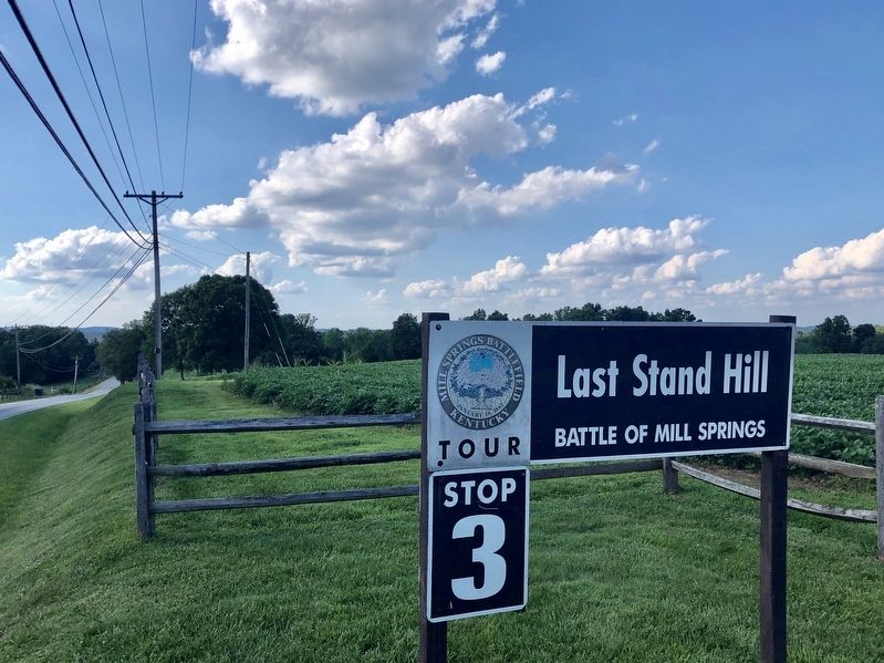
The Confederates west of the road fled in disarray after the 9th Ohio Infantry executed a successful bayonet charge. The pursuing Federals turned the tide on the east side of the road and the entire Confederate line broke. The 16th Alabama Infantry stood firm against the surging Federals here, on "Last Stand Hill." Their determined resistance allowed the beaten Confederate army to escape.
Held in Reserve
The 16th Alabama commanded by Colonel William B. Wood, a Methodist minister, had held their ground south of the battle all morning. Wood watched the action unfold while his regiment, one of only two armed with modern weapons, stood in reserve. Bullets whizzed around the men numbed by the cold, wet weather. The constant smoke and noise of battle kept them on edge, as they waited for two hours for orders.
Colonel Wood Makes a Stand
As the Confederate line fell apart, General William Carroll ordered the 16th Alabama to move forward. Wood moved the regiment to the crest of the hill and saw the Union line marching toward him. Confederate soldiers rushed to the rear knowing that all that stood between them and disaster was Col. Wood's 330 men.
Wood ordered the men "to stand their position and meet the enemy, drive him back or die in their tracks. "Rallying several companies of the 29th Tennessee, Wood made a stand. The regiment fired a volley, retreated a short distance behind a rail fence, and fired again. How long they held is unclear, but this small detachment stalled the Union pursuit. They created a gap that allowed the bulk of the Confederate army to escape capture.
Inset portrait: The regiments ... continued to hold the enemy at bay, slowly retiring from the field now lost to us.
General William Carroll, C.S.
Erected 2014 by Mill Springs Battlefield Association.
Topics and series. This historical marker is listed in these topic lists: Landmarks • War, US Civil. In addition, it is included in the National Historic Landmarks series list.
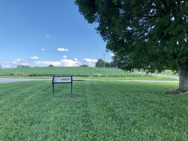
Location. 37° 3.167′ N, 84° 44.252′ W. Marker is near Nancy, Kentucky, in Pulaski County. Marker is on Kentucky Route 235, 0.3 miles south of Kentucky Route 761, on the left when traveling south. Touch for map. Marker is in this post office area: Nancy KY 42544, United States of America. Touch for directions.
Other nearby markers. At least 8 other markers are within walking distance of this marker. Rutledge's Battery (here, next to this marker); Turpin/Simpson Properties (about 600 feet away, measured in a direct line); Confederate Retreat (about 600 feet away); The Union Advance (approx. 0.2 miles away); Victory! (approx. 0.2 miles away); "Confederate Mass Grave" (approx. 0.2 miles away); Confederate Dead (approx. 0.2 miles away); Dawn of Battle (approx. 0.2 miles away). Touch for a list and map of all markers in Nancy.
Also see . . . Battle of Mills Spring. Wikipedia entry (Submitted on October 30, 2022, by Larry Gertner of New York, New York.)
Credits. This page was last revised on October 30, 2022. It was originally submitted on July 25, 2019, by Mark Hilton of Montgomery, Alabama. This page has been viewed 267 times since then and 30 times this year. Photos: 1, 2, 3. submitted on July 25, 2019, by Mark Hilton of Montgomery, Alabama.


