The Noble Ellis Saves an Army
Mill Springs Battlefield
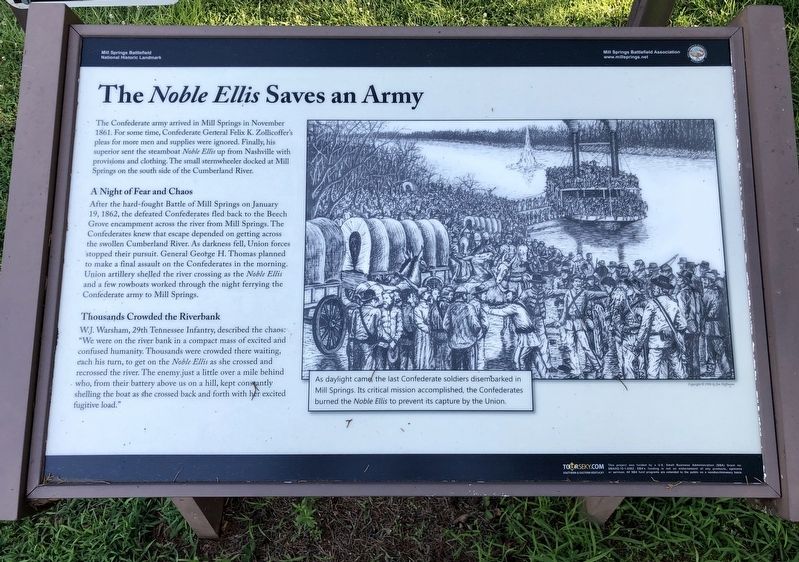
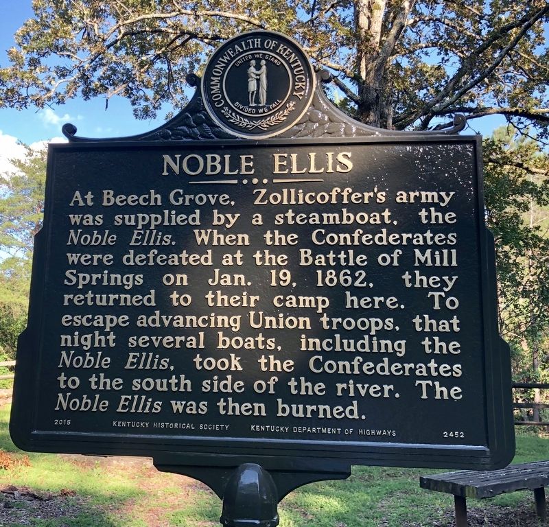
The Confederate army arrived in Mill Springs in November 1861. For some time, Confederate General Felix K. Zollicoffer's pleas for more men and supplies were ignored. Finally, his superior sent the steamboat Noble Ellis up from Nashville with provisions and clothing. The small sternwheeler docked at Mill Springs on the south side of the Cumberland River.
A Night of Fear and Chaos
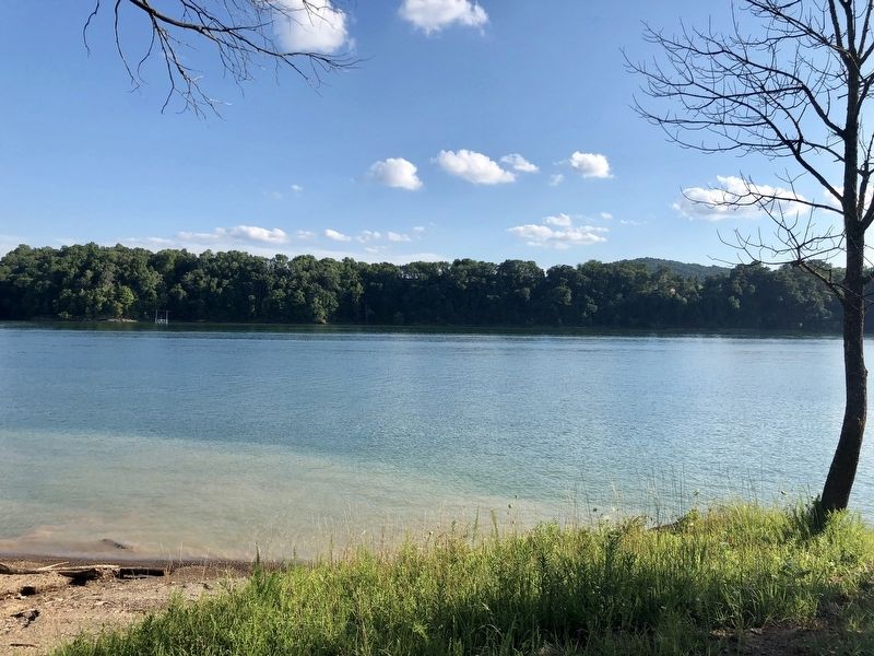
After the hard-fought Battle of Mill Springs on January 19, 1862, the defeated Confederates fled back to the Beech Grove encampment across the river from Mill Springs. The Confederates knew that escape depended on getting across the swollen Cumberland River. As darkness fell, Union forces stopped their pursuit. General George H. Thomas planned to make a final assault on the Confederates in the morning. Union artillery shelled the river crossing as the Noble Ellis and a few rowboats worked through the night ferrying the Confederate army to Mill Springs.
Thousands Crowded the Riverbank
W.J. Warsham, 29th Tennessee Infantry, described the chaos: "We were on the river bank in a compact mass of excited and confused humanity. Thousands were crowded there waiting, each his turn, to get on the Noble Ellis as she crossed and recrossed the river. The enemy just a little over a mile behind who, from their
Inset sketch:
As daylight came the last Confederate soldiers disembarked in Mill Springs. Its critical mission accomplished, the Confederates burned the Noble Ellis to prevent its capture by the Union.
Erected 2014 by Mill Springs Battlefield Association.
Topics and series. This historical marker is listed in these topic lists: Landmarks • War, US Civil • Waterways & Vessels. In addition, it is included in the National Historic Landmarks series list. A significant historical date for this entry is January 19, 1862.
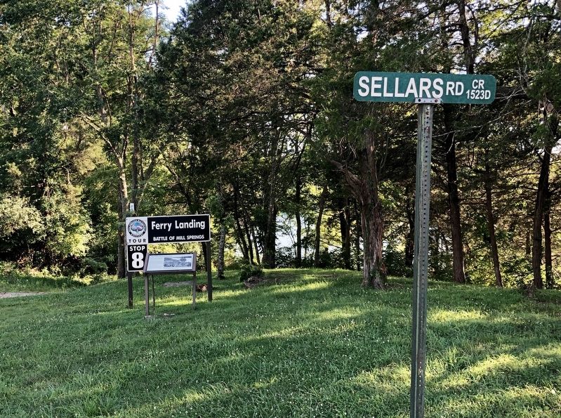
Location. 36° 56.519′ N, 84° 47.178′ W. Marker is near Nancy, Kentucky, in Pulaski County. Marker is at the intersection of Sellars Road and Mill Springs-Battlefield Road, on the right when traveling east on Sellars Road. Touch for map. Marker is at or near this postal address: Sellars Road, Nancy KY 42544, United States of America. Touch for directions.
Other nearby markers. At least 8 other markers are within walking distance of this marker. The Cumberland River (approx. 0.7 miles away); The Battle of Mill Springs (approx. 0.7 miles away); Home, Headquarters, Hospital (approx. ¾ mile away); Mill Springs and the Civil War (approx. ¾ mile away); Zollie's Den (approx.
Regarding The Noble Ellis Saves an Army. Mill Springs Battlefield was declared a U.S. National Historic Landmark in 1993 and a National Monument in 2019.
Also see . . . Battle of Mills Spring. Wikipedia entry (Submitted on October 30, 2022, by Larry Gertner of New York, New York.)
Additional keywords. The Noble Ellis Saves an Army
Credits. This page was last revised on October 30, 2022. It was originally submitted on July 25, 2019, by Mark Hilton of Montgomery, Alabama. This page has been viewed 479 times since then and 51 times this year. Last updated on September 14, 2020, by Bradley Owen of Morgantown, West Virginia. Photos: 1, 2, 3, 4. submitted on July 25, 2019, by Mark Hilton of Montgomery, Alabama. • Devry Becker Jones was the editor who published this page.


