Kinsale in County Cork, Munster, Ireland — Irish South-West ((Éire) North Atlantic Ocean)
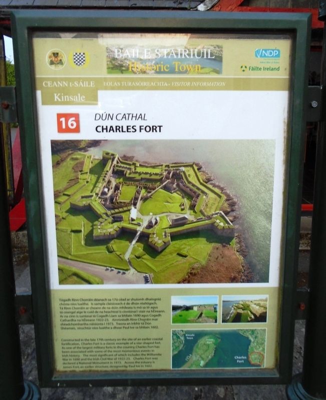
Dún Cathal / Charles Fort
Tógadh Rinn Chorráin déanach sa 17ú céad ar shuíomh dhaingniú chósta níos luaithe. Is sampla claisiceach é de dhún réaltógach. Tá Rinn Chorráin ar cheann de na dúin mhíleata is mó sa tír agus tá ceangal aige le cuid de na heachtraí is cinniúnaí i stair na hÉireann. Ar na cinn is suntasaí tá Cogadh Liam sa bhliain 1690 agus Cogadh Cathardha na hÉireann 1922-23. Ainmníodh Rinn Chorráin mar shéadchomhartha náisiúnta I 1973. Trasna an inbhir tá Dún Shéamais, struchtúr níos luaithe a dhear Paul Ive sa bhliain 1602.
Erected by Town of Kinsale, Cork County Council, National Development Plan, and Fáilte Ireland. (Marker Number 16.)
Topics. This historical marker is listed in these topic lists: Forts and Castles • Man-Made Features • Wars, Non-US. A significant historical year for this entry is 1690.
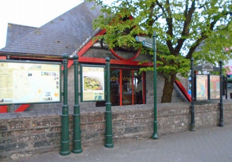
Location. 51° 42.327′ N, 8° 31.344′ W. Marker is in Kinsale, Munster, in County Cork. Marker is at the intersection of Cork Street (Munster Route R600) and Market Lane, on the left when traveling south on Cork Street. Marker is along the NW side of the Tourist Information Centre. Touch for map. Marker is in this post office area: Kinsale, Munster P17 C973, Ireland. Touch for directions.
Other nearby markers. At least 8 other markers are within walking distance of this marker. Dún Shéamais / James Fort (a few steps from this marker); Fish Shed / Bothán na nÉisc (within shouting distance of this marker); Blue Haven Old Fish Market Wall Restoration (about 120 meters away, measured in a direct line); The White House (about 120 meters away); Lt Michael P Murphy (about 120 meters away); The History of The Tumble Cart (about 150 meters away); Kinsale - A Walled Town (about 150 meters away); Kinsale Town Wall (about 150 meters away). Touch for a list and map of all markers in Kinsale.
Also see . . . Charles Fort. "Welcome to Kinsale" website (Submitted on July 27, 2019, by William Fischer, Jr. of Scranton, Pennsylvania.)
Credits. This page was last revised on March 28, 2021. It was originally submitted on July 27, 2019, by William Fischer, Jr. of Scranton, Pennsylvania. This page has been viewed 115 times since then and 9 times this year. Photos: 1, 2. submitted on July 27, 2019, by William Fischer, Jr. of Scranton, Pennsylvania.

