The Pauper's Well / Tobar na mbocht
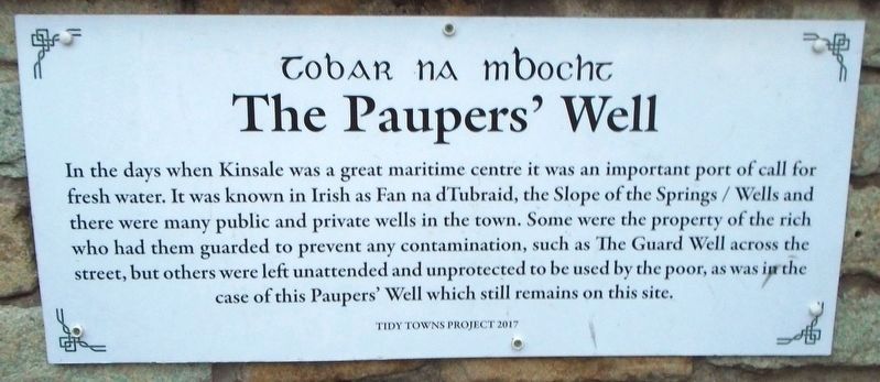
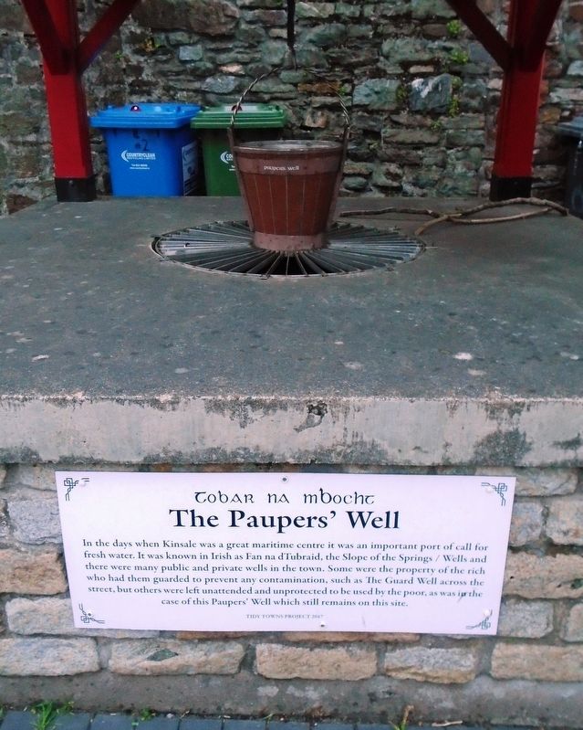
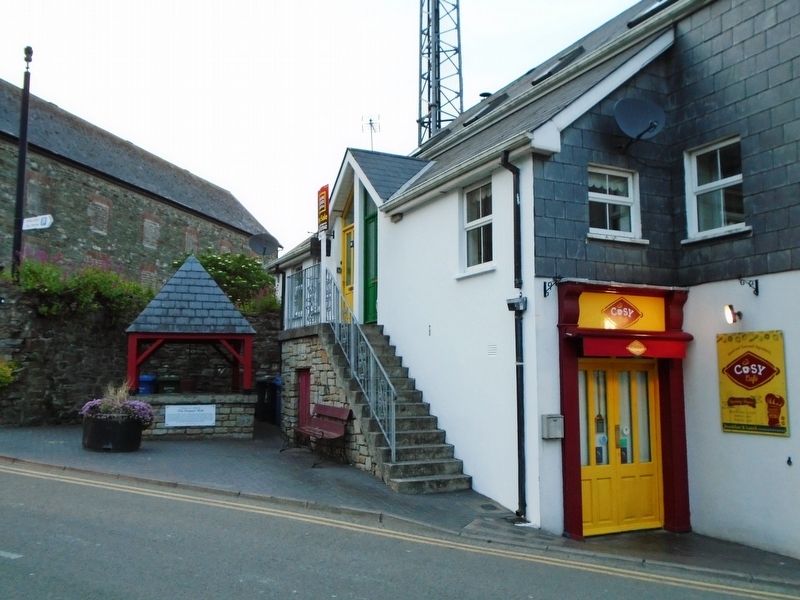
In the days when Kinsale was a great maritime centre it was an important port of call for fresh water. It was known in Irish as Fan na dTubraid, the Slope of the Springs/Wells and there were many public and private wells in the town. Some were the property of the rich who had them guarded to prevent any contamination, such as The Guard Well across the street, but others were left unattended and unprotected to be used by the poor, as was in the case of this Paupers' Well which still remains on this site.
Erected 2017 by Tidy Towns Project.
Topics. This historical marker is listed in these topic lists: Charity & Public Work • Man-Made Features • Settlements & Settlers.
Location. 51° 42.375′ N, 8° 31.544′ W. Marker is in Kinsale, Munster, in County Cork. Marker is on Church Square just west of Cork Street, on the right when traveling west. Touch for map. Marker is in this post office area: Kinsale, Munster P17 PK16, Ireland. Touch for directions.
Other nearby markers. At least 8 other markers are within walking distance of this marker. The James O'Neill Memorial Building (a few steps from this marker); Eaglais Multose Naofa / St. Multose Church (a few steps from this marker); Kinsale (within shouting distance of this marker); The Town Pound (within shouting
Also see . . . History of Kinsale. (Submitted on July 28, 2019, by William Fischer, Jr. of Scranton, Pennsylvania.)
Credits. This page was last revised on July 30, 2019. It was originally submitted on July 28, 2019, by William Fischer, Jr. of Scranton, Pennsylvania. This page has been viewed 166 times since then and 8 times this year. Photos: 1. submitted on July 30, 2019, by William Fischer, Jr. of Scranton, Pennsylvania. 2, 3. submitted on July 28, 2019, by William Fischer, Jr. of Scranton, Pennsylvania.


