Fort Recovery in Mercer County, Ohio — The American Midwest (Great Lakes)
Battle of the Wabash
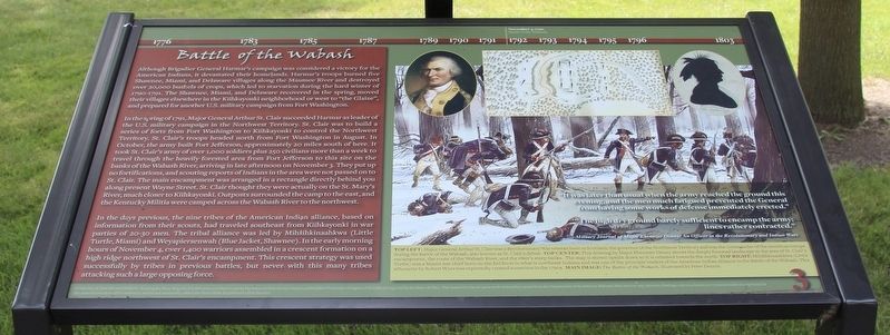
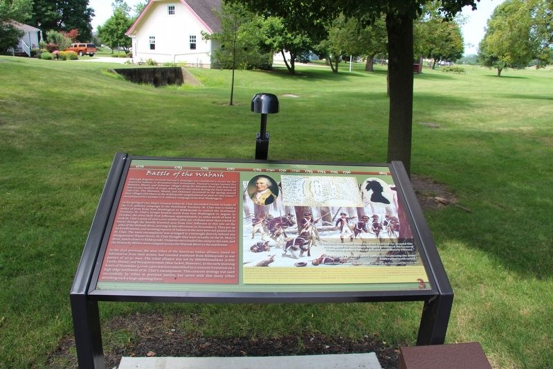
Although Brigadier General Harmar's campaign was considered a victory for the American Indians, it devastated their homelands. Harmar's troops burned five Shawnee, Miami, and Delaware villages along the Maumee river and destroyed over 20,000 bushels of crops, which led to starvation during the hard winter of 1790-1791. The Shawnee, Miami, and Delaware recovered in the spring, moved their villages elsewhere in the Kiihkayonki neighborhood or west to "the Glaize," and prepared for another U.S. military campaign from Fort Washington.
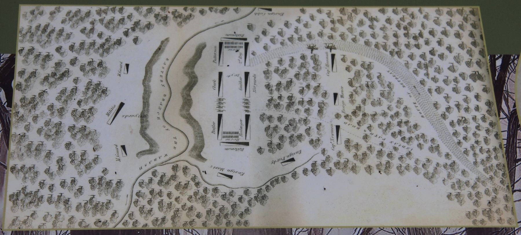
In the spring of 1791, Major General Arthur St. Clair succeeded Harmar as leader of the U.S. military campaign in the Northwest Territory. St. Clair was to build a series of forts from Fort Washington to Kiihkayonki to control the Northwest Territory. St. Clair's troops headed north from Fort Washington in August. In October, the army built Fort Jefferson, approximately 20 miles south of here. It took St. Clair's army of over 1,000 soldiers plus 250 civilians more than a week to travel through the heavily forested area from Fort Jefferson to this site on the banks of the Wabash River, arriving in late afternoon on November 3. They put up no fortifications, and scouting reports of Indians in the area were not passed on to St. Clair. The main encampment was arranged in a rectangle directly behind you along present Wayne Street. St. Clair thought they were actually on the St. Mary's River, much closer to Kiihkayonki. Outposts surrounded the camp to the east, and the Kentucky Militia were camped across the Wabash River to the northwest.
In the days previous, the nine tribes of the American Indian alliance, based on information from their scouts, had traveled southeast from Kiihkayonki in war parties of 20-30 men. The tribal alliance was led by Mihšihkinaahkwa (Little Turtle, Miami) and Weyapiersenwah (Blue Jacket, Shawnee). In the early morning hours of November 4, over 1,400 warriors assembled in a crescent formation on a high ridge northwest of St. Clair's encampment. This crescent strategy was used successfully by tribes in previous battles, but never with this many tribes attacking such a large opposing force.
"It was later than usual when the army reached the ground this evening, and the men much fatigued prevented the General from having some works of defense immediately erected"
"The high dry ground barely sufficient to encamp the army; lines rather contracted."
--Military Journal of Major Ebenezer Denny: An Officer in the Revolutionary and Indian Wars
Erected by National Park Service American Battlefield Protection Program and the State of Ohio. (Marker Number 3.)
Topics. This historical marker is listed in these topic lists: Native Americans • Settlements & Settlers • Wars, US Indian. A significant historical date for this entry is November 3, 1791.
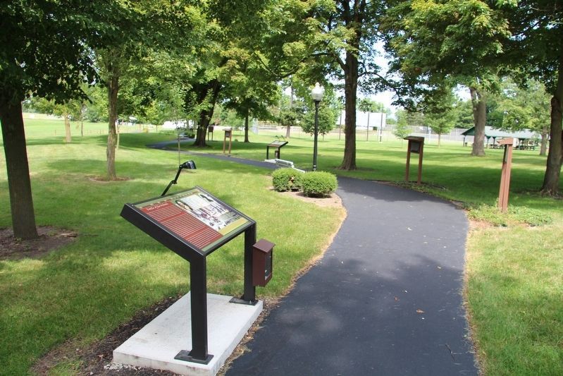
Location. 40° 24.83′ N, 84° 46.858′ W. Marker is in Fort Recovery, Ohio, in Mercer County. Marker is on Fort Site Street south of West Boundary Street, on the right when traveling south. This marker is located along the "Fort Recovery Battlefield Walking Tour." More specifically, it is situated along the walking path that is found behind the Fort Recovery Museum, in the park that is part of the state historic site. Touch for map. Marker is at or near this postal address: 1 Fort Site Street, Fort Recovery OH 45846, United States of America. Touch for directions.
Other nearby markers. At least 8 other markers are within walking distance of this marker. Native Cultures (a few steps from this marker); The Greeneville Treaty Boundary Line (a few steps from this marker); The Wabash (Ouabache) River (a few steps from this marker); The Old Wabash River (a few steps from this marker); On This Triangle of Land (a few steps from this marker); Sha'anoe Warrior Monument (within shouting distance of this marker); VanTrees Donation (within shouting distance of this marker); Prologue to 1791 (within shouting distance of this marker). Touch for a list and map of all markers in Fort Recovery.
Credits. This page was last revised on January 28, 2021. It was originally submitted on August 1, 2019, by Dale K. Benington of Toledo, Ohio. This page has been viewed 457 times since then and 42 times this year. Photos: 1, 2, 3, 4. submitted on August 1, 2019, by Dale K. Benington of Toledo, Ohio.


