Old Head in County Cork, Munster, Ireland — Irish South-West ((Éire) North Atlantic Ocean)
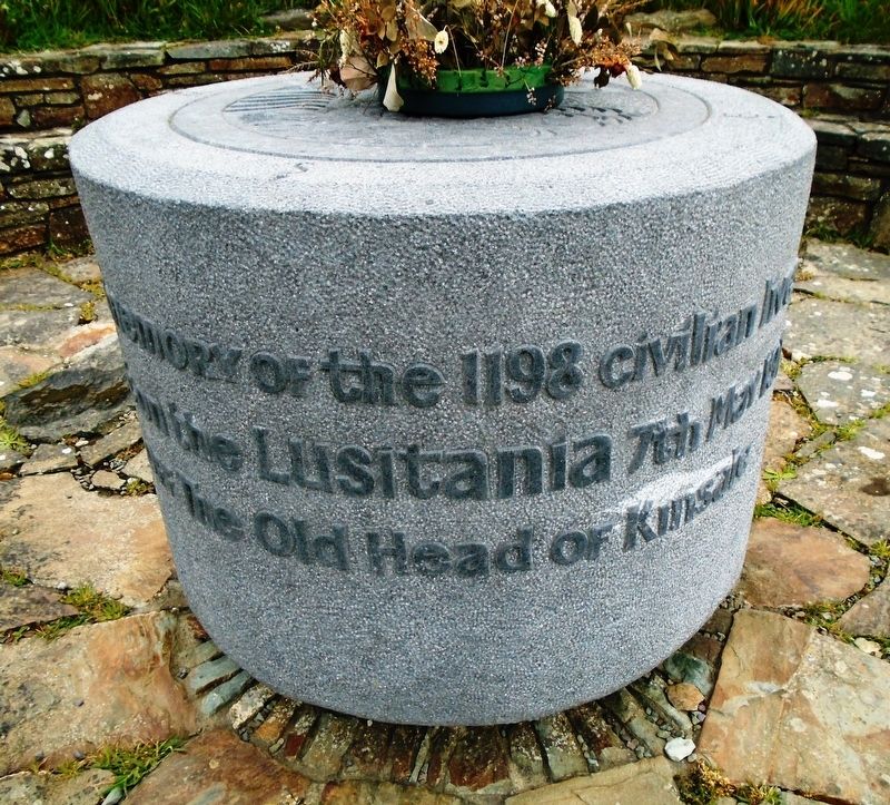
Victims of the RMS Lusitania Sinking
lost on the Lusitania 7th May 1915
off The Old Head of Kinsale
—————————
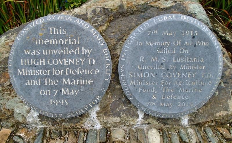
This memorial
was unveiled by
Hugh Coveney T.D.
Minister for Defence
and The Marine
on 7 May 1995
Brian Little, Sculptor
—————————
7th May 1915
In memory Of All Who
Sailed On
R. M. S. Lusitania
Unveiled By Minister
Simon Coveney T.D.
Minister For Agriculture
Food, The Marine
& Defence
7th May 2015
Erected 1995 by Dan and Mary Buckley, McCarthy Stone, and Courceys Integrated Rural Development Association.
Topics. This historical marker is listed in these topic lists: Disasters • War, World I • Waterways & Vessels. A significant historical date for this entry is May 7, 1915.
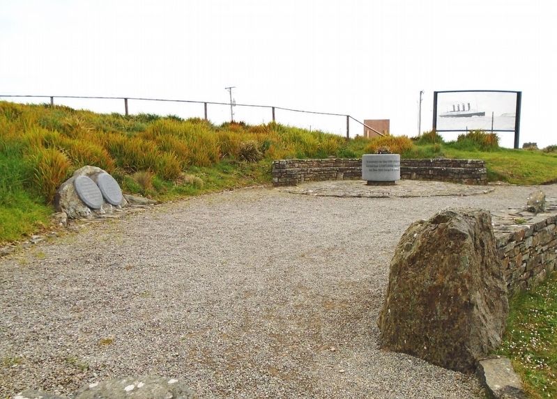
Location. 51° 37.208′ N, 8° 32.522′ W. Marker is in Old Head, Munster, in County Cork. Marker is on Old Head Ring Route, on the right when traveling south. Marker is near the Old Head Signal Tower. Touch for map. Marker is in this post office area: Old Head, Munster P17 T683, Ireland. Touch for directions.
Other nearby markers. At least 8 other markers are within 10 kilometers of this marker, measured as the crow flies. R. M. S. Lusitania (here, next to this marker); Old Head of Kinsale / An Seancheann (a few steps from this marker); Bina Fitzgerald (a few steps from this marker); Nineteenth Century Ship's Bollard (within shouting distance of this marker); RMS Lusitania Lifeboat Davit (within shouting distance of this marker); Lusitania Memorial Garden (within shouting distance of this marker); Triangulation Pillar (within shouting distance of this marker); Crann Seoil / 1601 Galleon Mast (approx. 9.4 kilometers away). Touch for a list and map of all markers in Old Head.
Also see . . .
1. Lost Liners: Lusitania. (Submitted on August 6, 2019, by William Fischer, Jr. of Scranton, Pennsylvania.)
2. The Sinking of the Lusitania. (Submitted on August 6, 2019, by William Fischer, Jr. of Scranton, Pennsylvania.)
3. Was There a Cover-Up After the Sinking of the 'Lusitania'? (Nat Geo book review, 2015). (Submitted on August 6, 2019, by William Fischer, Jr. of Scranton, Pennsylvania.)
4. RMS Lusitania at Wikipedia. (Submitted on August 6, 2019, by William Fischer, Jr. of Scranton, Pennsylvania.)
Credits. This page was last revised on August 6, 2019. It was originally submitted on August 5, 2019, by William Fischer, Jr. of Scranton, Pennsylvania. This page has been viewed 143 times since then and 8 times this year. Photos: 1, 2, 3. submitted on August 6, 2019, by William Fischer, Jr. of Scranton, Pennsylvania.


