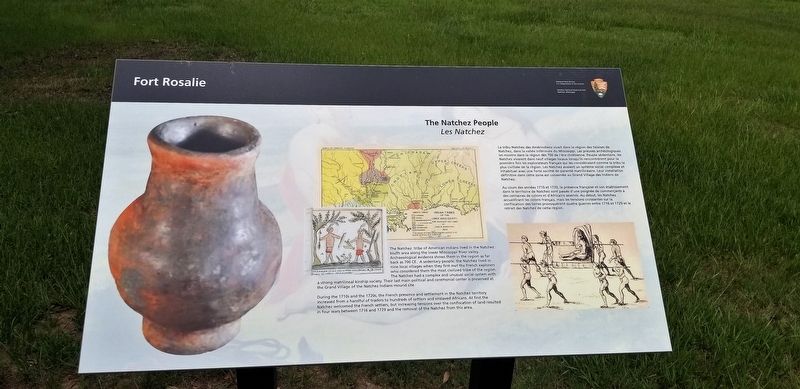
The Natchez People
Les Natchez
— Fort Rosalie —
During the 1710s and the 1720s, the French presence and settlement in the Natchez territory increased from a handful of traders to hundreds of settlers and enslaved Africans. At first the Natchez welcomed the French settlers, but increasing tensions over the confiscation of land resulted in four wars between 1716 and 1729 and the removal of the Natchez from this area.
French: Au cours des années 1710 et 1720, la présence française et son établissement dans le territoire de Natchez sont passés d''une poignée de commerçants à des centaines de colons et d''Africains asservis. Au début, les Natchez accueillirent les colons français, mais les tensions croissantes sur la confiscation des terres provoquèrent quatre guerres entre 1716 et 1729 et le retrait des Natchez de cette région.
La tribu Natchez des Amérindiens vivait dans la région des falaises de
Natchez, dans la vallée inférieure du Mississippi. Les preuves archéologiques
les montre dans la région dès
700 de l'ère chrétienne. Peuple sédentaire, les Natchez vivaient dans neuf villages locaux lorsqu'ils rencontrèrent pour la
première fois les explorateurs français qui les considéraient comme la tribu la
plus civilisée de la région. Les Natchez avaient un système social complexe et
inhabituel avec une forte société de parenté matrilinéaire. Leur installation
définitive dans cette zone est conservée au Grand Village des Indiens de Natchez.
Erected by National Park Service, U.S. Department of the Interior.
Topics. This historical marker is listed in these topic lists: Exploration • Native Americans.
Location. 31° 33.329′ N, 91° 24.664′ W. Marker is in Natchez, Mississippi, in Adams County. Marker is on South Canal Street near John R. Junkin Drive (U.S. 84/425), on the right when traveling south. Touch for map. Marker is in this post office area: Natchez MS 39120, United States of America. Touch for directions.
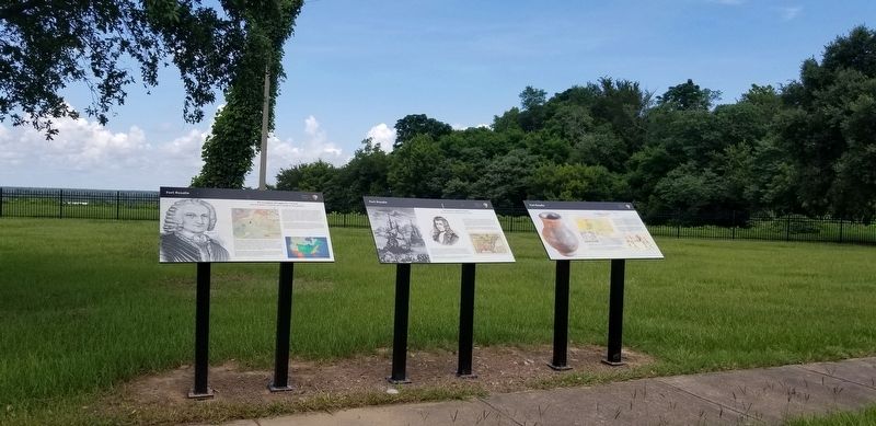
Other nearby markers. At least 8 other markers are within walking distance of this marker. The Introduction of Slavery in the Natchez District (here, next to this marker); The French in North America (here, next to this marker); The European Struggle for Control (here, next to this marker); Natchez (within shouting distance of this marker); Bridging the Mississippi (within shouting distance of this marker); Natchez National Historical Park (about 300 feet away, measured in a direct line); The French Build a Fort and a Colony (about 500 feet away); French Retaliation & the Second Fort Rosalie (about 500 feet away). Touch for a list and map of all markers in Natchez.
More about this marker. Located at the Natchez Visitors Reception Center
Credits. This page was last revised on August 9, 2019. It was originally submitted on August 9, 2019, by Cajun Scrambler of Assumption, Louisiana. This page has been viewed 248 times since then and 18 times this year. Photos: 1, 2. submitted on August 9, 2019.

