Butler in Baltimore County, Maryland — The American Northeast (Mid-Atlantic)
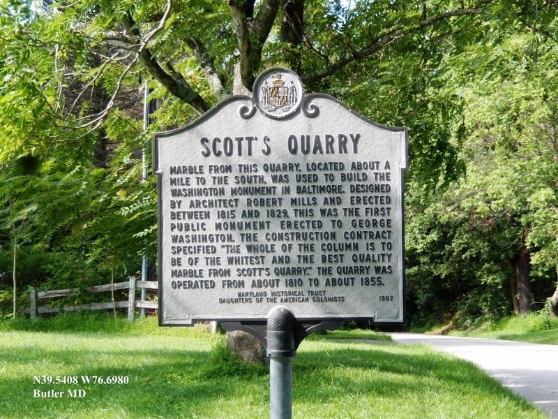
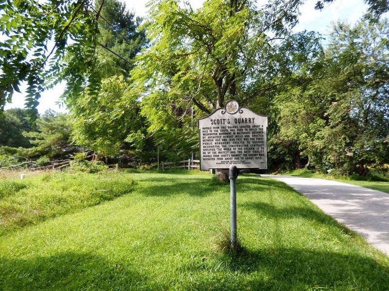
Scott’s Quarry
Erected 1992 by Maryland Historical Trust, Daughters of the American Colonists.
Topics and series. This historical marker is listed in this topic list: Industry & Commerce. In addition, it is included in the Daughters of the American Colonists, and the Maryland Historical Trust series lists. A significant historical year for this entry is 1815.
Location. 39° 32.466′ N, 76° 41.886′ W. Marker is in Butler, Maryland, in Baltimore County. Marker is on Tanyard Road. Touch for map. Marker is at or near this postal address: 15135 Tanyard Road, Butler MD 21023, United States of America. Touch for directions.
Other nearby markers. At least 8 other markers are within 4 miles of this marker, measured as the crow flies. A different marker also named Scott's Quarry (approx. 0.7 miles away); Gorsuch Tavern (approx. 2.6 miles away); Sparks (approx. 3.2 miles away); Marble Quarry (approx. 3.2 miles away); Oregon Furnace (approx. 3.2 miles away); Furnace Operations - Management (approx. 3.2 miles away); The Community (approx. 3.2 miles away); Furnace Operations - Labor (approx. 3.2 miles away).
Credits. This page was last revised on August 17, 2019. It was originally submitted on August 9, 2019, by Don Morfe of Baltimore, Maryland. This page has been viewed 416 times since then and 33 times this year. Photos: 1, 2. submitted on August 9, 2019, by Don Morfe of Baltimore, Maryland. • Bill Pfingsten was the editor who published this page.

