Charleston in Kanawha County, West Virginia — The American South (Appalachia)
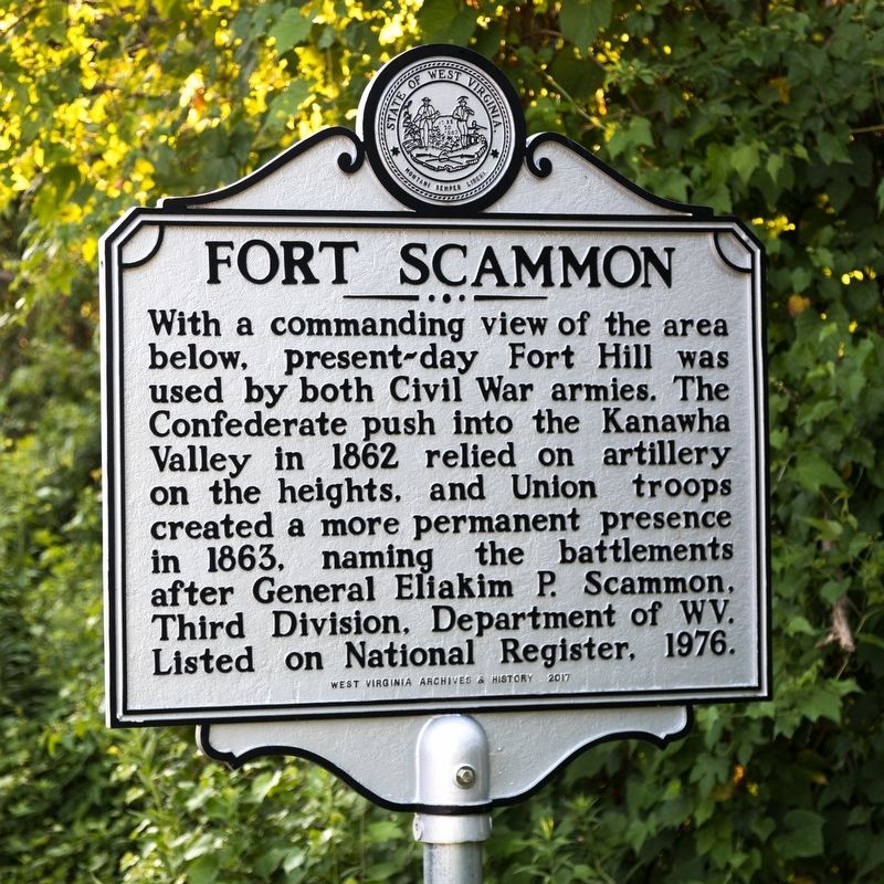
Fort Scammon
Erected 2017 by West Virginia Archives and History.
Topics and series. This historical marker is listed in this topic list: War, US Civil. In addition, it is included in the West Virginia Archives and History series list. A significant historical year for this entry is 1963.
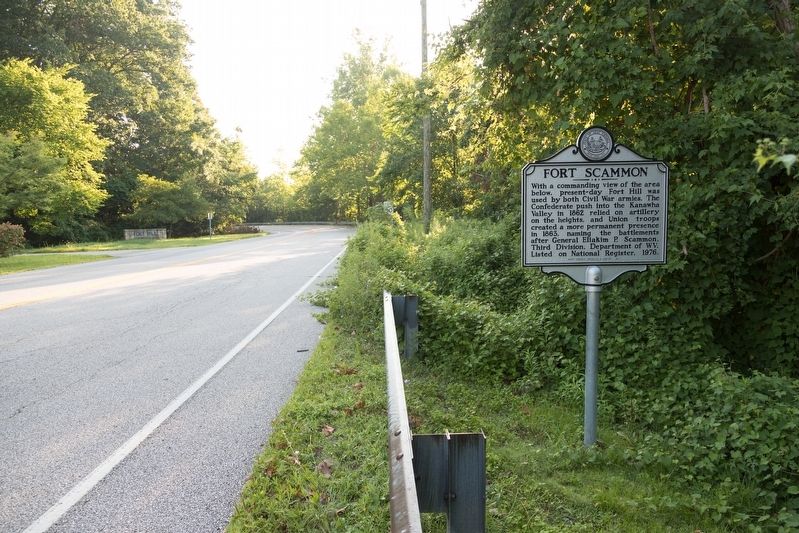
Location. 38° 20.833′ N, 81° 39.164′ W. Marker is in Charleston, West Virginia, in Kanawha County. Marker is on Fort Hill Drive just east of Cantley Drive at its intersection with U.S. 119, on the right when traveling east. Touch for map. Marker is at or near this postal address: 100 Fort Hill Dr, Charleston WV 25314, United States of America. Touch for directions.
Other nearby markers. At least 8 other markers are within walking distance of this marker. A different marker also named Fort Scammon (approx. 0.3 miles away); Military Occupation (approx. ¾ mile away); Presidential Presence (approx. ¾ mile away); Charleston (approx. ¾ mile away); Battle of Charleston (approx. ¾ mile away); a different marker also named Battle of Charleston (approx. 0.8 miles away); Victims of July 19, 1961 Flood (approx. 0.8 miles away); Kanawha County Formed November 14, 1788 (approx. 0.8 miles away). Touch for a list and map of all markers in Charleston.
Credits. This page was last revised on August 15, 2019. It was originally submitted on August 15, 2019, by J. J. Prats of Powell, Ohio. This page has been viewed 402 times since then and 32 times this year. Photos: 1, 2. submitted on August 15, 2019, by J. J. Prats of Powell, Ohio.

