Frankfort in Herkimer County, New York — The American Northeast (Mid-Atlantic)
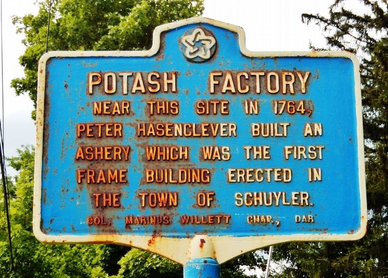
Potash Factory
Erected by Col. Marinus Willett Chapter, Daughters of the American Revolution.
Topics and series. This historical marker is listed in these topic lists: Industry & Commerce • Man-Made Features • Settlements & Settlers. In addition, it is included in the Daughters of the American Revolution series list. A significant historical year for this entry is 1764.
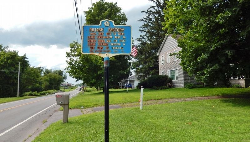
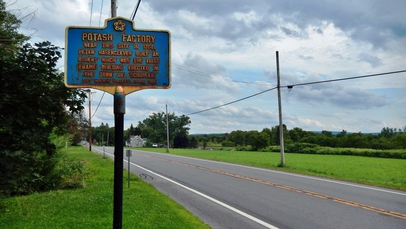
Location. 43° 3.402′ N, 75° 4.745′ W. Marker is in Frankfort, New York, in Herkimer County. Marker is on New York State Route 5, 0.2 miles east of Millers Grove Road, on the left when traveling east. Touch for map. Marker is at or near this postal address: 3517 New York Route 5, Frankfort NY 13340, United States of America. Touch for directions.
Other nearby markers. At least 8 other markers are within 3 miles of this marker, measured as the crow flies. New Petersburgh Fort (about 600 feet away, measured in a direct line); Mary Myers (approx. 1.1 miles away); Balloon Farm (approx. 1.1 miles away); Utica Area (approx. 1.8 miles away); Steuben Memorial (approx. 1.8 miles away); Henrich Staring (approx. 2 miles away); Heinrich Staring (approx. 2.1 miles away); Wohleben House (approx. 2.6 miles away). Touch for a list and map of all markers in Frankfort.
Also see . . . Peter Hasenclever (1716-1793). Peter Hasenclever was a German-born international businessman active from approximately 1733 until 1792. From 1764 to 1770, he resided in the British colonies of New York and New Jersey, where he established an ultimately unsuccessful transatlantic enterprise to produce, transport, and market iron and steel. He purchased 18,000 acres near present-day Herkimer, New York, then a frontier area, to grow hemp, for rope-making, and madder, used in dyes, and to make potash (potassium carbonate) and pearl ash (a purer variant) from the ashes of hardwood trees. (Submitted on August 20, 2019, by Cosmos Mariner of Cape Canaveral, Florida.)
Credits. This page was last revised on August 20, 2019. It was originally submitted on August 20, 2019, by Cosmos Mariner of Cape Canaveral, Florida. This page has been viewed 305 times since then and 19 times this year. Photos: 1, 2, 3. submitted on August 20, 2019, by Cosmos Mariner of Cape Canaveral, Florida.


