Near Westminster in Carroll County, Maryland — The American Northeast (Mid-Atlantic)
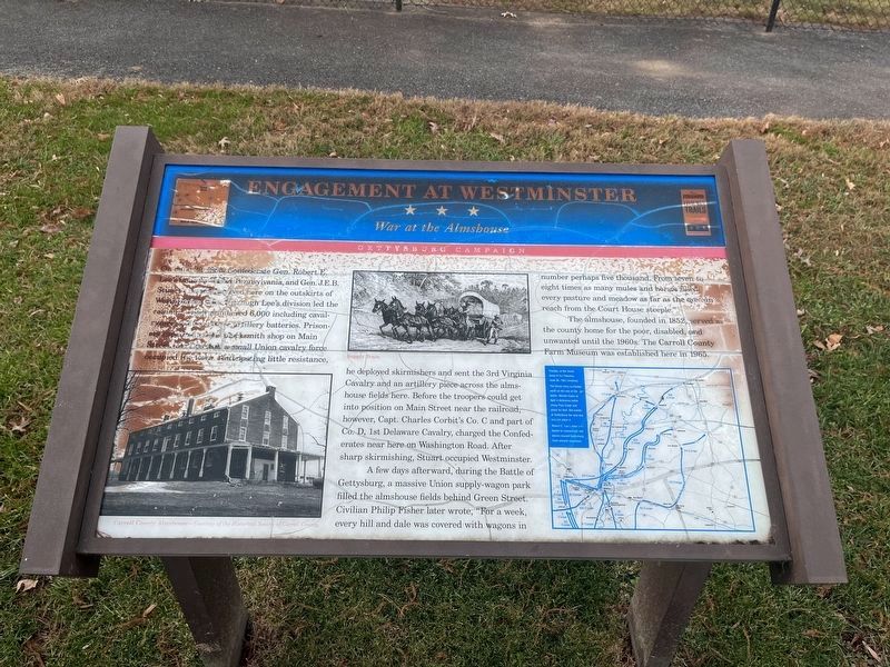
Engagement at Westminster
War at the Almshouse
— Gettysburg Campaign —
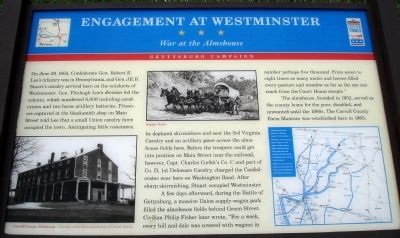
On June 29, 1863, Confederate Gen. Robert E. Lee’s infantry was in Pennsylvania, and Gen. J.E.B. Stuart’s cavalry arrived here on the outskirts of Westminster. Gen. Fitzhugh Lee’s division led the column, which numbered 6,000 including cavalrymen and two horse artillery batteries. Prisoners captured at the blacksmith shop on Main Street told Lee that a small Union cavalry force occupied the town. Anticipating little resistance, he deployed skirmishers and sent the 3rd Virginia Cavalry and an artillery piece across the almshouse fields here. Before the troopers could get into position on Main Street near the railroad, however, Capt. Charles Corbit’s Co. C and part of Co. D, 1st Delaware Cavalry, charged the Confederates near here on Washington Road. After sharp skirmishing, Stuart occupied Westminster.
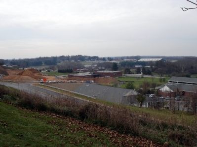
A few days afterward, during the Battle of Gettysburg, a massive Union supply-wagon park filled the almshouse fields behind Green Street. Civilian Philip Fisher later wrote, “For a week, every hill and dale was covered with wagons in number perhaps five thousand. From seven to eight times as many mules and horses filled every pasture and meadow as far as the eye can reach from the Court House steeple.”
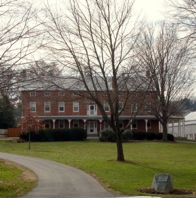
The almshouse, founded in 1852, served as the county home for the poor, disabled, and unwanted until the 1960s. The Carroll County Farm Museum was established here in 1965.
Erected by Maryland Civil War Trails.
Topics and series. This historical marker is listed in this topic list: War, US Civil. In addition, it is included in the Maryland Civil War Trails series list. A significant historical month for this entry is June 1812.
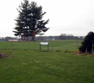
Location. 39° 33.615′ N, 76° 59.571′ W. Marker has been reported damaged. Marker is near Westminster, Maryland, in Carroll County. Marker is on South Center Street, on the right when traveling south. The marker is at the entrance to the Carroll County Farm Museum - Farm Museum Road. Touch for map. Marker is at or near this postal address: 500 S Center St, Westminster MD 21157, United States of America. Touch for directions.
Other nearby markers. At least 8 other markers are within walking distance of this location. The Carroll County Barn Quilt Trail (a few steps from this marker); Wormseed Oil Distillation (about 700 feet away, measured in a direct line); Wormseed Oil History (about 700 feet away); Edwin E. Magin (about 700 feet away); In Honor of the Day Family (about 700 feet away); 1930s Farm F12 Tractor (about 700 feet away); Wormseed Oil Growing & Harvesting (about 700 feet away); Basket Sleigh (approx. 0.2 miles away). Touch for a list and map of all markers in Westminster.
More about this marker. On the lower left of the marker is a photo of the Carroll
Photographed By Devry Becker Jones (CC0), December 17, 2021
2. Engagement at Westminster Marker
Unfortunately the marker has weathered significantly.
The marker also features map of the Gettysburg campaign with the caption, Position of the Union Army of the Potomac June 30, 1863 (midday). The Union army continues north on the eve of the battle. Meade hopes to fight a defensive battle along Pipe Creek and plans for that. But events at Gettysburg the next day will not allow it. Robert E. Lee’s army continues to concentrate and moves toward Gettysburg from several directions.
Also see . . . Carroll County Farm Museum. (Submitted on November 24, 2008.)
Credits. This page was last revised on December 17, 2021. It was originally submitted on November 24, 2008. This page has been viewed 2,122 times since then and 18 times this year. Photos: 1. submitted on November 24, 2008. 2. submitted on December 17, 2021, by Devry Becker Jones of Washington, District of Columbia. 3, 4, 5. submitted on November 24, 2008. • Craig Swain was the editor who published this page.
