Near Arroyo Seco in Victoria, Guanajuato, Mexico — The Central Highlands (North America)
The Arroyo Seco Archaeological Site
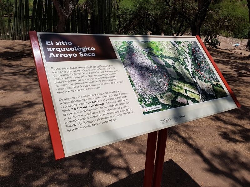
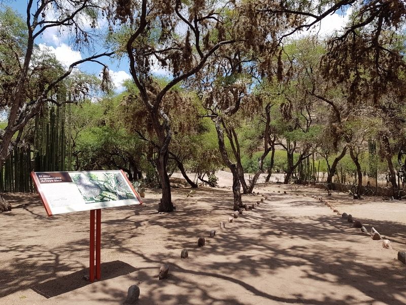
El sitio arqueológico Arroyo Seco geográficamente se ubica en la porción semidesértica de la Sierra Gorda de Guanajuato, al interior de un pequeño valle intermontano irrigado por la aguas del río Victoria. Los soportes con pintura rupestre que lo integran se distribuyen entre las milenarias formaciones rocosas de dos pequeñas elevaciones naturales separadas por el cauce de un arroyo temporal del cual toma su nombre.
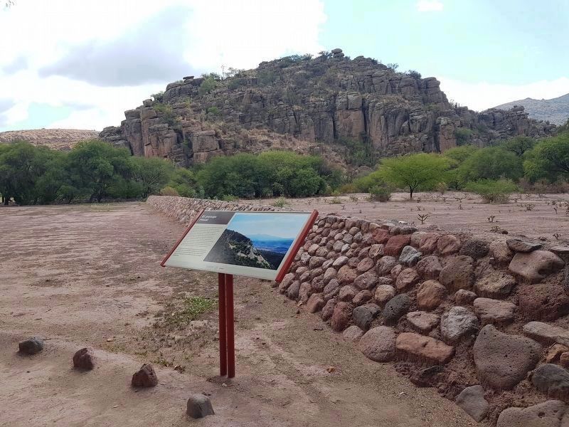
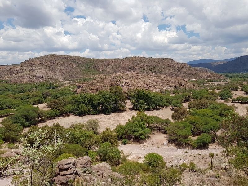
De acuerdo a la tradición oral local, estas elevaciones reciben distintas denominaciones: el cerro situado al oriente es conocido como "La Zorra" y el ubicado al occidente como "La Pintada o La Tortuga". Un rasgo significativo de este sitio es la disposición de los paneles pintados, que en La Zorra se distribuyen en las laderas norte y oeste, orientados hacia la puesta del sol, mientras que los de La Pintada o La Tortuga se plasmaron en la ladera occidental del cerro, mirando hacia la salida del sol.
Pie de dibujo: Paneles pintados
The Arroyo Seco Archaeological Site
The Arroyo Seco archaeological site is geographically located in the semi-desert portion of the Sierra Gorda of Guanajuato, inside a small intermountain valley irrigated by the waters of the Victoria River. The rock paintings that are integrated within the site are distributed among the ancient rock formations of two small natural elevations separated by the channel of a temporary stream from which the site takes its name.
According to local oral tradition, these elevations have two different names: the hill located to the east is known as "La Zorra" (The Fox) and the one located to the west as "La Pintada or La Tortuga" (The Painted Hill or The Turtle). A significant feature of this site is the arrangement of the painted panels, which in La Zorra are distributed on the north and west slopes, oriented towards the sunset, while those of La Pintada or La Tortuga are commonly on the western slope of the hill, facing the sunrise.
Caption: Location of rock art
Erected by Instituto Nacional de Antropología e Historia (INAH).
Topics. This historical marker is listed in these topic lists: Anthropology & Archaeology • Arts, Letters, Music • Man-Made Features • Native Americans.
Location. 21° 11.416′ N, 100° 12.288′ W. Marker is near Arroyo Seco, Guanajuato, in Victoria. Marker can be reached from Calle Nueva a Victoria just north of Calle Principal de Arroyo Seco, on the right when traveling north. The marker is one of the first along the walking tour at the Arroyo Seco Archaeological Site. Touch for map. Marker is in this post office area: Arroyo Seco GTO 37920, Mexico. Touch for directions.
Other nearby markers. At least 8 other markers are within walking distance of this marker. The Social Function of Rock Art (about 150 meters away, measured in a direct line); A Long-Term Painted History (about 180 meters away); The Imagination of Rock Art (about 180 meters away); The Memory of the Landscape (about 180 meters away); The Guardians of the Valley (approx. 0.2 kilometers away); Rock Art in the 16th Century (approx. 0.2 kilometers away); Rock art in contact (approx. 0.2 kilometers away); A Fragile Testimony (approx. 0.3 kilometers away). Touch for a list and map of all markers in Arroyo Seco.
Photographed By J. Makali Bruton, February 15, 2020
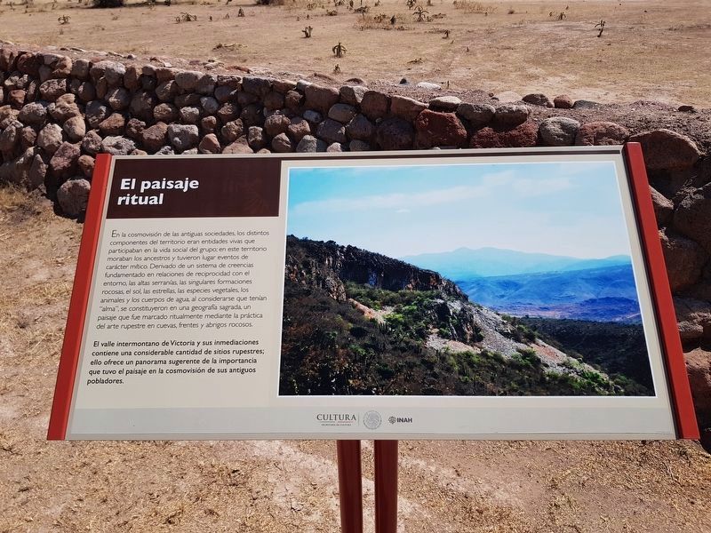
4. El Paisaje Ritual - The Ritual Landscape
Credits. This page was last revised on March 15, 2020. It was originally submitted on August 25, 2019, by J. Makali Bruton of Accra, Ghana. This page has been viewed 294 times since then and 23 times this year. Photos: 1, 2, 3. submitted on August 25, 2019, by J. Makali Bruton of Accra, Ghana. 4. submitted on March 15, 2020, by J. Makali Bruton of Accra, Ghana. 5. submitted on August 25, 2019, by J. Makali Bruton of Accra, Ghana.
