Urban Core in Jacksonville in Duval County, Florida — The American South (South Atlantic)
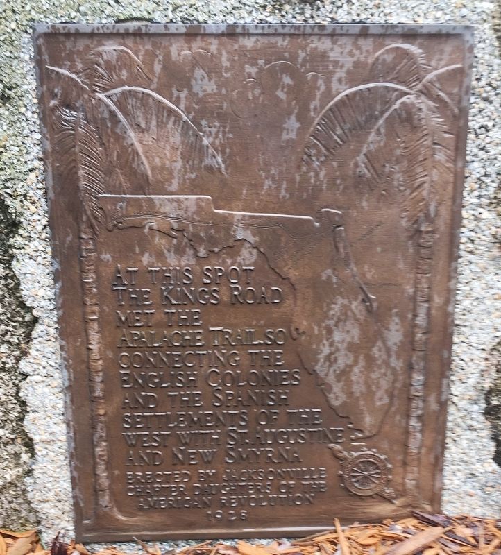
King’s Road Meets Apalache Trail
At this spot the Kings Road met the Apalache Trail, so connecting the English colonies and the Spanish settlements of the west with St. Augustine and New Smyrna
Erected 1928 by Jacksonville Chapter Daughters of the American Revolution.
Topics and series. This historical marker is listed in these topic lists: Colonial Era • Roads & Vehicles • Settlements & Settlers. In addition, it is included in the Daughters of the American Revolution series list.
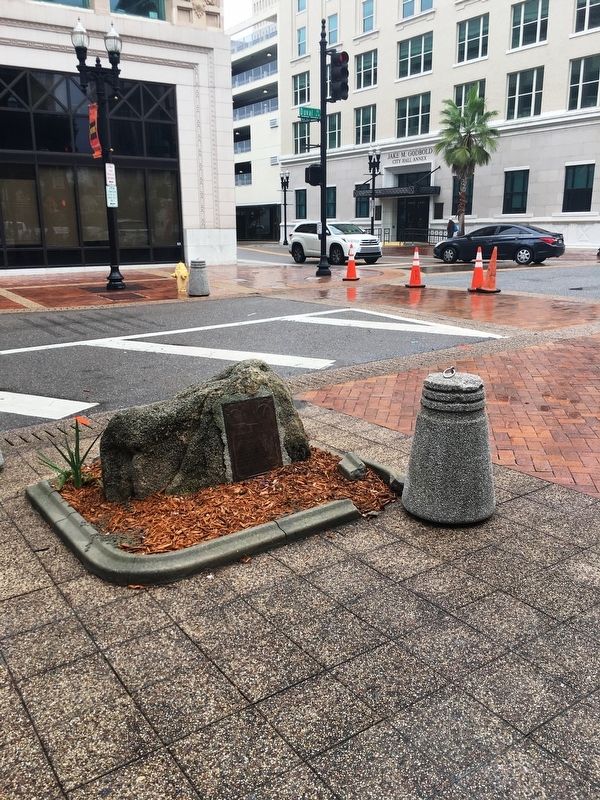
Location. 30° 19.781′ N, 81° 39.532′ W. Marker is in Jacksonville, Florida, in Duval County. It is in Urban Core. Marker is at the intersection of W.Duval St. and N. Laura Street, on the left when traveling west on W.Duval St.. Located at the northeast corner of Hemming Park. Touch for map. Marker is at or near this postal address: 117 WDuval Street, Jacksonville FL 32202, United States of America. Touch for directions.
Other nearby markers. At least 8 other markers are within walking distance of this marker. Jacksonville Veterans Memorial (within shouting distance of this marker); Jacksonville Young Mens Christian Association (within shouting distance of this marker); Jacksonville Public Library (within shouting distance of this marker); John Fitzgerald Kennedy (within shouting distance of this marker); Jacksonville's 1901 Fire (within shouting distance of this marker); Votes for Women (within shouting distance of this marker); 1960 Civil Rights Demonstration (about 300 feet away, measured in a direct line); The Seminole Club (about 300 feet away). Touch for a list and map of all markers in Jacksonville.
Credits. This page was last revised on February 3, 2023. It was originally submitted on August 26, 2019, by Brandon D Cross of Flagler Beach, Florida. This page has been viewed 276 times since then and 25 times this year. Photos: 1, 2. submitted on August 26, 2019, by Brandon D Cross of Flagler Beach, Florida. • Andrew Ruppenstein was the editor who published this page.

