Rib Falls in Marathon County, Wisconsin — The American Midwest (Great Lakes)
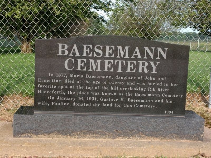
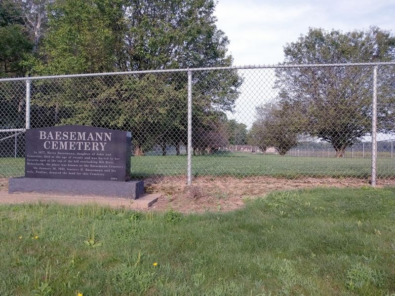
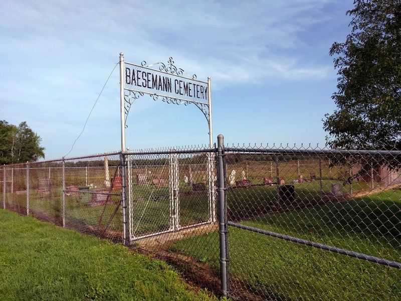
Baesemann Cemetery
Ernestine, died at the age of twenty and was buried in her
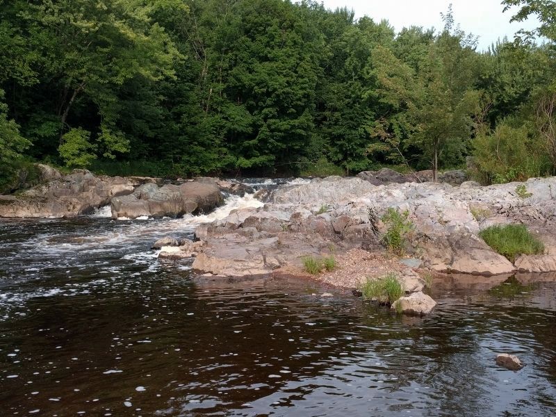
favorite spot at the top of the hill overlooking Rib River.
Henceforth, the place was known as the Baesemann Cemetery.
On January 16, 1931, Gustave H. Baesemann and his
wife, Pauline, donated the land for this Cemetery.
Erected 1994.
Topics. This historical marker is listed in this topic list: Cemeteries & Burial Sites. A significant historical date for this entry is January 16, 1931.
Location. 44° 58.485′ N, 89° 54.345′ W. Marker is in Rib Falls, Wisconsin, in Marathon County. Marker is on County Highway S, 0.1 miles north of County Highway U, on the left when traveling north. The cemetery is completely surrounded by Rib Falls County Park, which is on the north side of the Rib River. Touch for map. Marker is at or near this postal address: 232160 County Road S, Edgar WI 54426, United States of America. Touch for directions.
Other nearby markers. At least 5 other markers are within 18 miles of this marker, measured as the crow flies. Geological Marker (approx. 4.9 miles away); Pomeranian Settlement (approx. 9 miles away); Pomeranian Settlement in Marathon County (approx. 9 miles away); In Memoriam (approx. 15.4 miles away); Three Arch Stone Bridge (approx. 17.3 miles away).
Credits. This page was last revised on August 31, 2019. It was originally submitted on August 31, 2019, by Joel Seewald of Madison Heights, Michigan. This page has been viewed 286 times since then and 36 times this year. Photos: 1, 2, 3, 4. submitted on August 31, 2019, by Joel Seewald of Madison Heights, Michigan.


